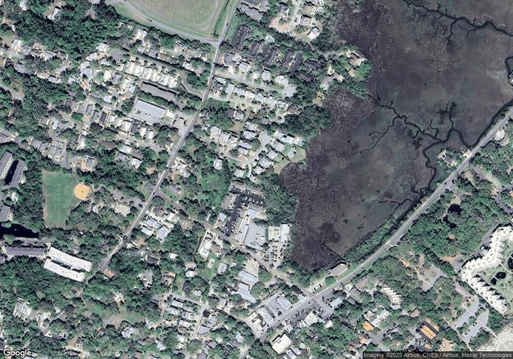
122 Compass Point Dr Saint Simons Island, GA 31522
Estimated Value: $1,201,000 - $1,456,000
4
Beds
4
Baths
2,884
Sq Ft
$467/Sq Ft
Est. Value
About This Home
This home is located at 122 Compass Point Dr, Saint Simons Island, GA 31522 and is currently estimated at $1,347,737, approximately $467 per square foot. 122 Compass Point Dr is a home located in Glynn County with nearby schools including St. Simons Elementary School, Glynn Middle School, and Glynn Academy.
Ownership History
Date
Name
Owned For
Owner Type
Purchase Details
Closed on
Mar 12, 2012
Sold by
Branch Banking & Trust C
Bought by
Youngner Joshua G and Youngner Hollis L
Current Estimated Value
Purchase Details
Closed on
Jun 7, 2011
Sold by
Ssi Development Llc
Bought by
Branch Banking & Trust Company
Create a Home Valuation Report for This Property
The Home Valuation Report is an in-depth analysis detailing your home's value as well as a comparison with similar homes in the area
Home Values in the Area
Average Home Value in this Area
Purchase History
| Date | Buyer | Sale Price | Title Company |
|---|---|---|---|
| Youngner Joshua G | $100,000 | -- | |
| Branch Banking & Trust Company | -- | -- |
Source: Public Records
Tax History Compared to Growth
Tax History
| Year | Tax Paid | Tax Assessment Tax Assessment Total Assessment is a certain percentage of the fair market value that is determined by local assessors to be the total taxable value of land and additions on the property. | Land | Improvement |
|---|---|---|---|---|
| 2025 | $9,469 | $377,560 | $120,000 | $257,560 |
| 2024 | $8,736 | $348,320 | $132,000 | $216,320 |
| 2023 | $4,259 | $348,320 | $132,000 | $216,320 |
| 2022 | $4,734 | $348,320 | $132,000 | $216,320 |
| 2021 | $4,878 | $284,200 | $90,000 | $194,200 |
| 2020 | $4,923 | $284,200 | $90,000 | $194,200 |
| 2019 | $4,923 | $284,200 | $90,000 | $194,200 |
| 2018 | $4,923 | $188,800 | $33,440 | $155,360 |
| 2017 | $4,923 | $188,800 | $33,440 | $155,360 |
| 2016 | $4,545 | $188,800 | $33,440 | $155,360 |
| 2015 | $1,253 | $188,800 | $33,440 | $155,360 |
| 2014 | $1,253 | $46,800 | $33,440 | $13,360 |
Source: Public Records
Map
Nearby Homes
- 105 Thompson Cove
- 1153 Ocean Blvd
- 1332 Oak St Unit 9
- 1308 Oak St
- 1313 Beachview Dr
- 1320 Oak St
- 1145 Park Ln
- 405 Everett St
- 134 Ibis Cove
- 200 Salt Air Dr Unit 152
- 200 Salt Air Dr Unit 154
- 200 Salt Air Dr Unit 139
- 1104 Sherman Ave
- 1460 Ocean Blvd Unit 101
- 162 Toluca Ln
- 108 Rosa Dorsey Ln
- 1300 Downing St Unit 176
- 1440 Ocean Blvd Unit 420
- 1440 Ocean Blvd Unit 127
- 1440 Ocean Blvd Unit 324
- 122 Compass Point Dr
- 120 Compass Point Dr
- 124 Compass Point Dr
- 116 Compass Point Dr
- 126 Compass Point Dr
- 119 Compass Point Dr
- 171 Follins Ln
- 0 Compass Point Dr Unit 3162676
- 0 Compass Point Dr
- 174 & 182 Follins Ln
- 114 Compass Point Dr
- 172 Follins Ln
- 172 Follins Ln
- 172 Follins Ln
- 129 Compass Point Dr
- 174 Follins Ln
- 174 Follins Ln Unit 174
- 113 Compass Point Dr
- Lot 16 Compass Point Dr
- Lot 13 Compass Point Dr
