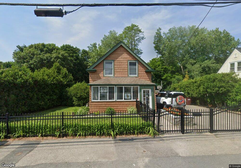
122 Curve St Dedham, MA 02026
East Dedham NeighborhoodEstimated Value: $679,093 - $703,000
3
Beds
2
Baths
1,704
Sq Ft
$405/Sq Ft
Est. Value
About This Home
This home is located at 122 Curve St, Dedham, MA 02026 and is currently estimated at $689,523, approximately $404 per square foot. 122 Curve St is a home located in Norfolk County with nearby schools including Avery, Dedham Middle School, and Dedham High School.
Ownership History
Date
Name
Owned For
Owner Type
Purchase Details
Closed on
Oct 9, 2019
Sold by
Treanor Patrick and Kelley Lorraine
Bought by
122 Curve Street Rt
Current Estimated Value
Purchase Details
Closed on
Nov 1, 2012
Sold by
Janvrin Norma A
Bought by
Treanor Patrick and Kelley Lorraine
Purchase Details
Closed on
Jul 28, 1983
Bought by
Treanor Patrick and Kelley Lorraine
Create a Home Valuation Report for This Property
The Home Valuation Report is an in-depth analysis detailing your home's value as well as a comparison with similar homes in the area
Home Values in the Area
Average Home Value in this Area
Purchase History
| Date | Buyer | Sale Price | Title Company |
|---|---|---|---|
| 122 Curve Street Rt | -- | -- | |
| Treanor Patrick | -- | -- | |
| Treanor Patrick | -- | -- |
Source: Public Records
Mortgage History
| Date | Status | Borrower | Loan Amount |
|---|---|---|---|
| Previous Owner | Treanor Patrick | $138,750 | |
| Previous Owner | Treanor Patrick | $30,556 | |
| Previous Owner | Treanor Patrick | $6,000 |
Source: Public Records
Tax History
| Year | Tax Paid | Tax Assessment Tax Assessment Total Assessment is a certain percentage of the fair market value that is determined by local assessors to be the total taxable value of land and additions on the property. | Land | Improvement |
|---|---|---|---|---|
| 2025 | $7,650 | $606,200 | $284,600 | $321,600 |
| 2024 | $7,284 | $582,700 | $269,400 | $313,300 |
| 2023 | $7,007 | $545,700 | $239,300 | $306,400 |
| 2022 | $6,694 | $501,400 | $234,200 | $267,200 |
| 2021 | $6,251 | $457,300 | $229,100 | $228,200 |
| 2020 | $6,105 | $445,000 | $218,900 | $226,100 |
| 2019 | $5,823 | $411,500 | $190,400 | $221,100 |
| 2018 | $5,762 | $396,000 | $168,200 | $227,800 |
| 2017 | $5,538 | $375,200 | $157,400 | $217,800 |
| 2016 | $5,225 | $337,300 | $137,500 | $199,800 |
| 2015 | $5,078 | $320,000 | $134,600 | $185,400 |
| 2014 | $4,875 | $303,200 | $131,600 | $171,600 |
Source: Public Records
Map
Nearby Homes
- 109 Rockland St
- 8 Sumner St
- 94 Rockland St
- 153 Colburn St
- 108 High St
- 42 Churchill Place
- 49 Greenhood St
- 28 Linden Place
- 90 High St Unit 309
- 25 Rockland St Unit 5
- 442 High St
- 56 Mount Vernon St
- 30 High St ( Cass St Entrance) Unit 209
- 19 Lewis Ln
- 5257 Washington St Unit 2
- 132 Whitehall St
- 73 Walnut St
- 11 Stimson St
- 147 Mount Vernon St
- 7 S Stone Mill Dr Unit 412
Your Personal Tour Guide
Ask me questions while you tour the home.