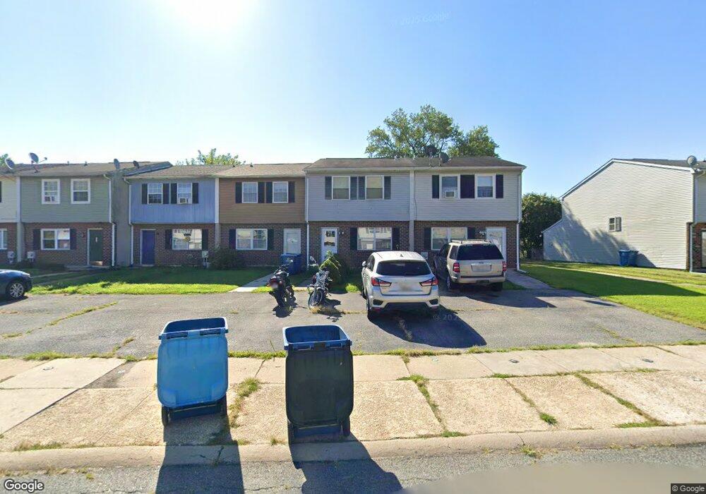
122 Danford Dr Elkton, MD 21921
Estimated Value: $165,000 - $210,077
--
Bed
1
Bath
1,404
Sq Ft
$128/Sq Ft
Est. Value
About This Home
This home is located at 122 Danford Dr, Elkton, MD 21921 and is currently estimated at $180,019, approximately $128 per square foot. 122 Danford Dr is a home located in Cecil County with nearby schools including Thomson Estates Elementary School, Elkton Middle School, and Elkton High School.
Ownership History
Date
Name
Owned For
Owner Type
Purchase Details
Closed on
Aug 1, 2006
Sold by
Langshaw Dorothy Ann
Bought by
Blackwood Amanda
Current Estimated Value
Purchase Details
Closed on
Jan 15, 1992
Sold by
Montgomery Brothers, Inc.
Bought by
Langshaw Dorothy Ann
Home Financials for this Owner
Home Financials are based on the most recent Mortgage that was taken out on this home.
Original Mortgage
$75,900
Interest Rate
8.23%
Purchase Details
Closed on
Dec 18, 1991
Sold by
Reed David L and Reed Diana M
Bought by
Montgomery Brothers, Inc.
Home Financials for this Owner
Home Financials are based on the most recent Mortgage that was taken out on this home.
Original Mortgage
$75,900
Interest Rate
8.23%
Create a Home Valuation Report for This Property
The Home Valuation Report is an in-depth analysis detailing your home's value as well as a comparison with similar homes in the area
Home Values in the Area
Average Home Value in this Area
Purchase History
| Date | Buyer | Sale Price | Title Company |
|---|---|---|---|
| Blackwood Amanda | $116,000 | -- | |
| Langshaw Dorothy Ann | $75,900 | -- | |
| Montgomery Brothers, Inc. | $70,500 | -- |
Source: Public Records
Mortgage History
| Date | Status | Borrower | Loan Amount |
|---|---|---|---|
| Previous Owner | Langshaw Dorothy Ann | $75,900 | |
| Closed | Blackwood Amanda | -- |
Source: Public Records
Tax History Compared to Growth
Tax History
| Year | Tax Paid | Tax Assessment Tax Assessment Total Assessment is a certain percentage of the fair market value that is determined by local assessors to be the total taxable value of land and additions on the property. | Land | Improvement |
|---|---|---|---|---|
| 2025 | $1,773 | $109,667 | $0 | $0 |
| 2024 | $1,325 | $96,800 | $16,000 | $80,800 |
| 2023 | $1,156 | $95,200 | $0 | $0 |
| 2022 | $1,649 | $93,600 | $0 | $0 |
| 2021 | $1,616 | $92,000 | $16,000 | $76,000 |
| 2020 | $1,621 | $90,633 | $0 | $0 |
| 2019 | $1,597 | $89,267 | $0 | $0 |
| 2018 | $1,573 | $87,900 | $16,000 | $71,900 |
| 2017 | $1,522 | $85,067 | $0 | $0 |
| 2016 | $1,341 | $82,233 | $0 | $0 |
| 2015 | $1,341 | $79,400 | $0 | $0 |
| 2014 | $1,354 | $79,400 | $0 | $0 |
Source: Public Records
Map
Nearby Homes
- 118 Midland Dr
- 112 Courtney Dr
- 6 Shade Tree Ln
- 23 Hatteras Ct
- 182 E Village Rd
- 155 E Village Rd
- Juniper Plan at Gray Mount Commons
- 124 Michaels Way
- 113 Michaels Way
- 520 Saint Charles St
- 413 Gray Mount Cir
- 606 Gray Mount Cir
- 0 Delaware Ave Unit MDCC2018992
- 4024 Rosetree Ln
- 102 Independence Dr
- 32 Chambord Dr
- 679 Mayfield Falls Dr
- 663 Mayfield Falls Dr
- 112 Ben Blvd
- 114 Saint Louis Dr