122 Daniel Ln La Fayette, GA 30728
Estimated Value: $156,343 - $268,000
--
Bed
1
Bath
1,056
Sq Ft
$206/Sq Ft
Est. Value
About This Home
This home is located at 122 Daniel Ln, La Fayette, GA 30728 and is currently estimated at $217,836, approximately $206 per square foot. 122 Daniel Ln is a home located in Walker County with nearby schools including Naomi Elementary School, Lafayette Middle School, and Lafayette High School.
Ownership History
Date
Name
Owned For
Owner Type
Purchase Details
Closed on
May 28, 2020
Sold by
Daniel Jeffrey L
Bought by
Daniel Anthony Wayne
Current Estimated Value
Purchase Details
Closed on
Jan 23, 1998
Sold by
Daniel William E
Bought by
Daniel Jeffrey L
Purchase Details
Closed on
Aug 22, 1997
Sold by
Daniel William E and Daniel Deborah J
Bought by
Daniel William E
Purchase Details
Closed on
Mar 15, 1996
Sold by
Daniel Jeffrey
Bought by
Daniel William E and Daniel Deborah J
Purchase Details
Closed on
Apr 14, 1992
Sold by
Daniel Jeanette
Bought by
Daniel Jeffrey
Purchase Details
Closed on
Jan 1, 1972
Bought by
Daniel Jeanette
Create a Home Valuation Report for This Property
The Home Valuation Report is an in-depth analysis detailing your home's value as well as a comparison with similar homes in the area
Home Values in the Area
Average Home Value in this Area
Purchase History
| Date | Buyer | Sale Price | Title Company |
|---|---|---|---|
| Daniel Anthony Wayne | -- | -- | |
| Daniel Jeffrey L | $38,000 | -- | |
| Daniel William E | -- | -- | |
| Daniel William E | $47,500 | -- | |
| Daniel Jeffrey | -- | -- | |
| Daniel Jeanette | -- | -- |
Source: Public Records
Tax History Compared to Growth
Tax History
| Year | Tax Paid | Tax Assessment Tax Assessment Total Assessment is a certain percentage of the fair market value that is determined by local assessors to be the total taxable value of land and additions on the property. | Land | Improvement |
|---|---|---|---|---|
| 2024 | $1,438 | $65,494 | $15,018 | $50,476 |
| 2023 | $1,345 | $59,771 | $11,919 | $47,852 |
| 2022 | $1,192 | $48,752 | $8,061 | $40,691 |
| 2021 | $977 | $33,881 | $8,061 | $25,820 |
| 2020 | $800 | $27,990 | $8,061 | $19,929 |
| 2019 | $813 | $27,990 | $8,061 | $19,929 |
| 2018 | $741 | $27,990 | $8,061 | $19,929 |
| 2017 | $766 | $27,990 | $8,061 | $19,929 |
| 2016 | $766 | $27,990 | $8,061 | $19,929 |
| 2015 | $850 | $29,645 | $12,656 | $16,989 |
| 2014 | $762 | $29,645 | $12,656 | $16,989 |
| 2013 | $741 | $29,644 | $12,656 | $16,988 |
Source: Public Records
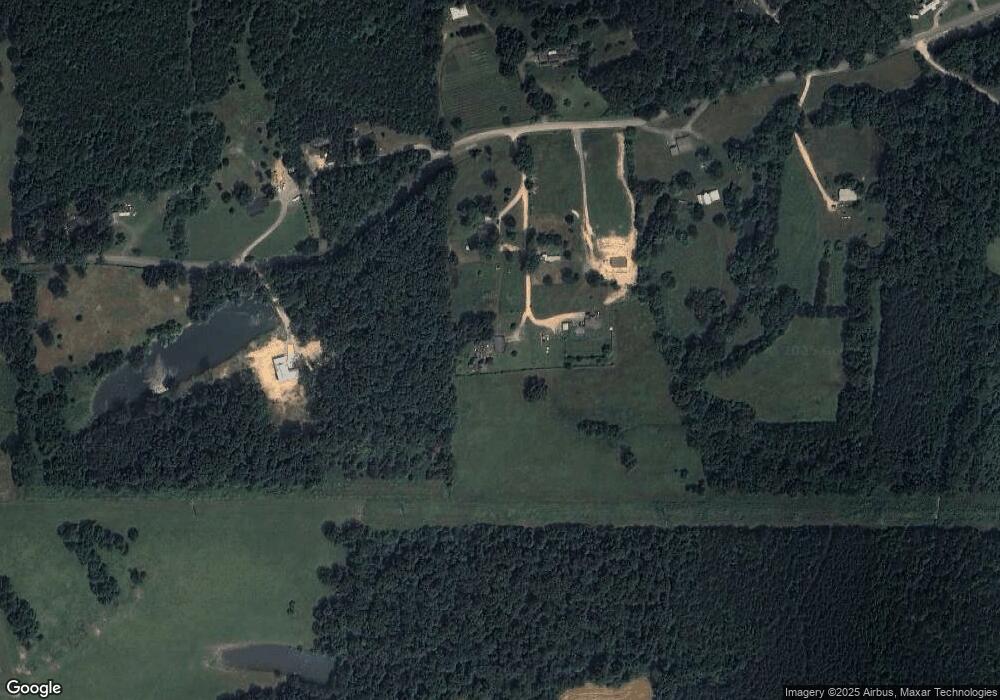
Map
Nearby Homes
- 176 Turkey Ridge Rd
- 635 Cook Rd
- 1934 Round Pond Rd
- 901 Dunwoody Rd
- 1039 Dunwoody Rd
- 450 Arnold Ln
- 121 Stock Dog Ln
- 1121 York Rd
- 253 Wesley Rd
- 0 Windy Meadow Dr Unit 10534698
- 4384 Round Pond Rd
- 7606 Highway 95
- 34 + - Acre On Ga Hwy 337
- 34 Kemp Rd
- 139 Harris Ln
- 500 Motley Dr
- 114 Clear Lake Dr
- 205 N Ridge Dr
- 4941 Round Pond Rd
- E Armuchee Rd
- 36 Daniel Ln
- 112 Avonlea Ln
- 720 Old Dalton Hwy
- 76 Avonlea Ln
- 355 Old Dalton Hwy
- 250 Old Dalton Hwy
- 579 Old Dalton Hwy
- 0 Old Dalton Hwy
- 756 Old Dalton Hwy
- 787 Old Dalton Hwy
- 187 Shipp Dr
- 821 Old Dalton Hwy
- 139 Old Dalton Hwy
- 802 Old Dalton Hwy
- 27 Shipp Dr
- 511 Cook Rd
- 895 Old Dalton Hwy
- 1 Cook Rd
- 343 Cook Rd
- 2477 Round Pond Rd