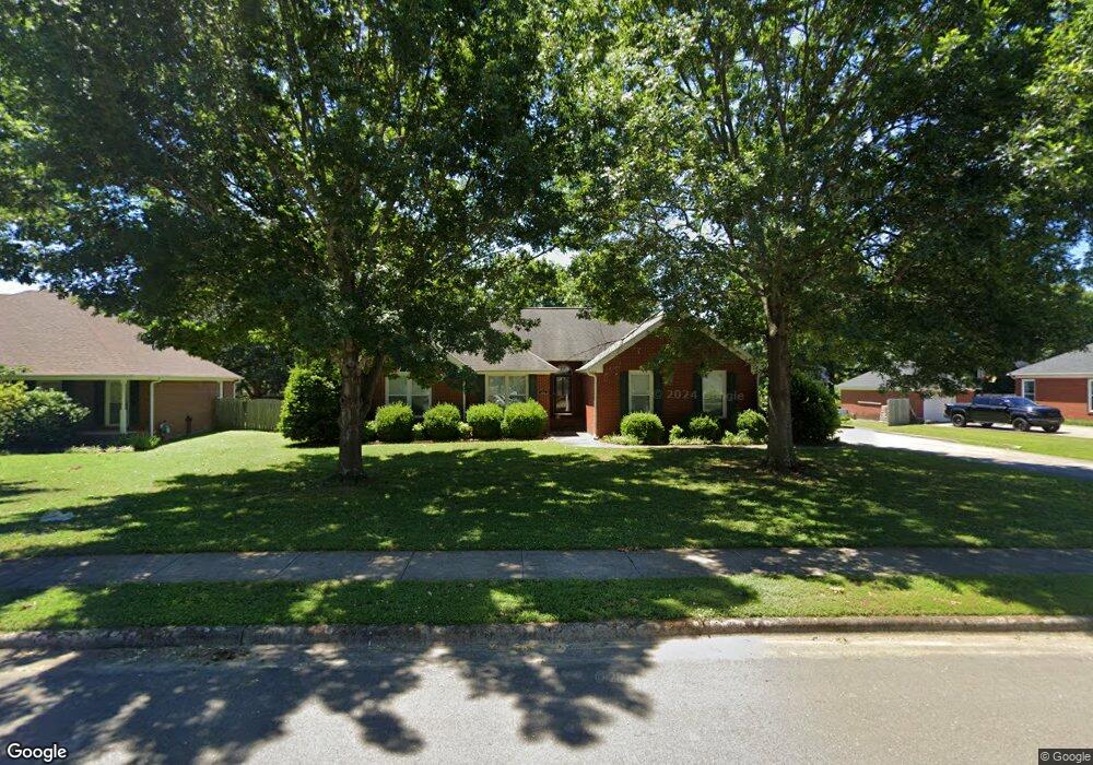
122 Debbie Blvd Huntsville, AL 35811
Ryland NeighborhoodEstimated Value: $336,614 - $380,000
--
Bed
1
Bath
2,080
Sq Ft
$175/Sq Ft
Est. Value
About This Home
This home is located at 122 Debbie Blvd, Huntsville, AL 35811 and is currently estimated at $364,154, approximately $175 per square foot. 122 Debbie Blvd is a home with nearby schools including Mt Carmel Elementary School, Riverton Intermediate School, and Buckhorn Middle School.
Ownership History
Date
Name
Owned For
Owner Type
Purchase Details
Closed on
Dec 30, 2015
Sold by
Knickerbocker Gary E and Knickerbocker Sharon A
Bought by
Henson Jessica I
Current Estimated Value
Home Financials for this Owner
Home Financials are based on the most recent Mortgage that was taken out on this home.
Original Mortgage
$140,000
Outstanding Balance
$111,418
Interest Rate
3.98%
Mortgage Type
New Conventional
Estimated Equity
$252,736
Create a Home Valuation Report for This Property
The Home Valuation Report is an in-depth analysis detailing your home's value as well as a comparison with similar homes in the area
Home Values in the Area
Average Home Value in this Area
Purchase History
| Date | Buyer | Sale Price | Title Company |
|---|---|---|---|
| Henson Jessica I | $100 | None Available |
Source: Public Records
Mortgage History
| Date | Status | Borrower | Loan Amount |
|---|---|---|---|
| Open | Henson Jessica I | $140,000 |
Source: Public Records
Tax History Compared to Growth
Tax History
| Year | Tax Paid | Tax Assessment Tax Assessment Total Assessment is a certain percentage of the fair market value that is determined by local assessors to be the total taxable value of land and additions on the property. | Land | Improvement |
|---|---|---|---|---|
| 2024 | $928 | $27,120 | $4,500 | $22,620 |
| 2023 | $928 | $26,540 | $4,500 | $22,040 |
| 2022 | $828 | $24,360 | $4,500 | $19,860 |
| 2021 | $750 | $22,220 | $4,500 | $17,720 |
| 2020 | $677 | $20,210 | $4,500 | $15,710 |
| 2019 | $650 | $19,490 | $4,500 | $14,990 |
| 2018 | $617 | $18,580 | $0 | $0 |
| 2017 | $601 | $18,160 | $0 | $0 |
| 2016 | $601 | $18,160 | $0 | $0 |
| 2015 | $601 | $18,160 | $0 | $0 |
| 2014 | $596 | $18,020 | $0 | $0 |
Source: Public Records
Map
Nearby Homes
- 117 Genesis Dr
- 107 Genesis Dr
- 3208 Jordan Farm Cir NE
- 114 Gary Glen Blvd
- 108 Brookes Landing Dr
- 204 Paca Ln
- 232 Exeter St
- 230 Exeter St
- 228 Exeter St
- 303 Pond Spring Dr
- 301 Pond Spring Dr
- 300 Pond Spring Dr
- 102 Green Lite Way
- 100 Green Lite Way
- 106 Green Lite Way
- 104 Green Lite Way
- 182 Raleigh Way
- 105 Alice Janes Cir
- 232 Pops Corner
- 149 Stone River Rd
- 124 Debbie Blvd
- 120 Debbie Blvd
- 119 Debbie Blvd
- 123 Debbie Blvd
- 1875 Jordan Rd
- 126 Debbie Blvd
- 118 Debbie Blvd
- 1863 Jordan Rd
- 125 Debbie Blvd
- 100 Tanglefoot Dr
- 102 Gunsmoke Cir
- 1870 Jordan Rd
- 1853 Jordan Rd
- 115 Debbie Blvd
- 110 Tanglefoot Dr
- 130 Debbie Blvd
- 104 Gunsmoke Cir
- 113 Debbie Blvd
- 129 Debbie Blvd
- 1845 Jordan Rd