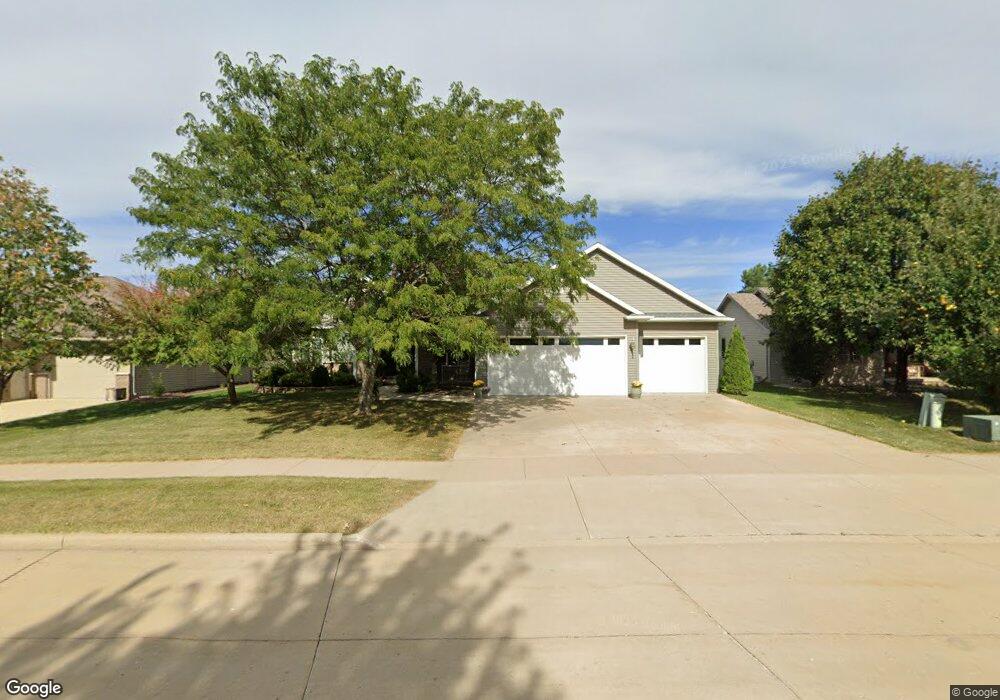
122 Deforest Dr Kaukauna, WI 54130
Estimated Value: $395,000 - $483,000
3
Beds
3
Baths
1,786
Sq Ft
$242/Sq Ft
Est. Value
About This Home
This home is located at 122 Deforest Dr, Kaukauna, WI 54130 and is currently estimated at $431,921, approximately $241 per square foot. 122 Deforest Dr is a home located in Outagamie County with nearby schools including River View School, Kaukauna High School, and New Directions Learning Community.
Ownership History
Date
Name
Owned For
Owner Type
Purchase Details
Closed on
Jun 6, 2023
Sold by
Debruin Robert A and Debruin Rita M
Bought by
Debruin Trust
Current Estimated Value
Purchase Details
Closed on
Oct 2, 2014
Sold by
Haring William J and Haring Gina L
Bought by
Debruin Robert A and Debruin Rita M
Create a Home Valuation Report for This Property
The Home Valuation Report is an in-depth analysis detailing your home's value as well as a comparison with similar homes in the area
Home Values in the Area
Average Home Value in this Area
Purchase History
| Date | Buyer | Sale Price | Title Company |
|---|---|---|---|
| Debruin Trust | -- | None Listed On Document | |
| Debruin Robert A | $240,000 | -- |
Source: Public Records
Tax History Compared to Growth
Tax History
| Year | Tax Paid | Tax Assessment Tax Assessment Total Assessment is a certain percentage of the fair market value that is determined by local assessors to be the total taxable value of land and additions on the property. | Land | Improvement |
|---|---|---|---|---|
| 2023 | $5,686 | $293,600 | $37,200 | $256,400 |
| 2022 | $5,308 | $293,600 | $37,200 | $256,400 |
| 2021 | $5,052 | $293,600 | $37,200 | $256,400 |
| 2020 | $4,438 | $198,300 | $31,000 | $167,300 |
| 2019 | $4,437 | $198,300 | $31,000 | $167,300 |
| 2018 | $4,466 | $198,300 | $31,000 | $167,300 |
| 2017 | $4,458 | $198,300 | $31,000 | $167,300 |
| 2016 | $4,247 | $198,300 | $31,000 | $167,300 |
| 2015 | $4,264 | $198,300 | $31,000 | $167,300 |
| 2014 | $4,247 | $198,300 | $31,000 | $167,300 |
| 2013 | $4,752 | $198,300 | $31,000 | $167,300 |
Source: Public Records
Map
Nearby Homes
- 3005 Crooks Ave
- 2200 Sullivan Ave
- 406 E 20th St
- N176 Debruin Rd
- 1207 Saunders Rd
- 708 Westfield St
- 405 E 17th St
- 213 E 17th St
- 216 E 17th St
- 304 E 17th St
- 1601 Main Ave
- 1401 Main Ave
- 3351 Gray Squirrel Ln
- 417 W 11th St
- 592 Cornrow Ln
- 123 W 10th St
- 1900 White Wolf Ln
- 227 E 10th St
- 213 Fairway St
- 24 Woodhaven Ln
- 120 Deforest Dr
- 130 Deforest Dr
- 123 W Morningside Dr
- 121 W Morningside Dr
- 110 Deforest Dr
- 131 W Morningside Dr
- 111 W Morningside Dr
- 139 W Morningside Dr
- 101 W Morningside Dr
- 146 Deforest Dr
- 108 W Morningside Dr
- 124 W Morningside Dr
- 116 W Morningside Dr
- 230 Deforest Dr
- 3050 Main Ave
- 209 Deforest Dr
- 3003 Main Ave
- 3101 Main Ave
- 111 Deforest Dr
- 121 Deforest Dr