122 Dockside Ln Belfast, ME 04915
Estimated Value: $1,047,892 - $1,331,000
4
Beds
4
Baths
2,550
Sq Ft
$469/Sq Ft
Est. Value
About This Home
This home is located at 122 Dockside Ln, Belfast, ME 04915 and is currently estimated at $1,195,631, approximately $468 per square foot. 122 Dockside Ln is a home located in Waldo County with nearby schools including Cornerspring Children's House and The School At Sweetser - Belfast.
Ownership History
Date
Name
Owned For
Owner Type
Purchase Details
Closed on
Sep 18, 2007
Sold by
Boutin Eugene W and Boutin Catherine A
Bought by
Ed Uyate Ret
Current Estimated Value
Home Financials for this Owner
Home Financials are based on the most recent Mortgage that was taken out on this home.
Original Mortgage
$417,000
Outstanding Balance
$262,129
Interest Rate
6.7%
Mortgage Type
Purchase Money Mortgage
Estimated Equity
$933,502
Create a Home Valuation Report for This Property
The Home Valuation Report is an in-depth analysis detailing your home's value as well as a comparison with similar homes in the area
Home Values in the Area
Average Home Value in this Area
Purchase History
| Date | Buyer | Sale Price | Title Company |
|---|---|---|---|
| Ed Uyate Ret | -- | -- |
Source: Public Records
Mortgage History
| Date | Status | Borrower | Loan Amount |
|---|---|---|---|
| Open | Ed Uyate Ret | $417,000 |
Source: Public Records
Tax History
| Year | Tax Paid | Tax Assessment Tax Assessment Total Assessment is a certain percentage of the fair market value that is determined by local assessors to be the total taxable value of land and additions on the property. | Land | Improvement |
|---|---|---|---|---|
| 2025 | $15,933 | $975,100 | $400,000 | $575,100 |
| 2024 | $14,980 | $972,700 | $400,000 | $572,700 |
| 2023 | $9,893 | $492,200 | $160,000 | $332,200 |
| 2022 | $10,144 | $474,000 | $160,000 | $314,000 |
| 2021 | $10,428 | $474,000 | $160,000 | $314,000 |
| 2020 | $9,956 | $427,300 | $160,000 | $267,300 |
| 2019 | $9,714 | $424,200 | $160,000 | $264,200 |
| 2018 | $9,629 | $424,200 | $160,000 | $264,200 |
| 2017 | $9,290 | $424,200 | $160,000 | $264,200 |
| 2016 | $9,714 | $424,200 | $160,000 | $264,200 |
| 2015 | $9,502 | $424,200 | $160,000 | $264,200 |
| 2014 | $9,184 | $424,200 | $160,000 | $264,200 |
| 2013 | $11,916 | $572,900 | $250,000 | $322,900 |
Source: Public Records
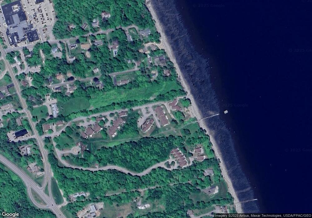
Map
Nearby Homes
- 99 Dockside Ln Unit 99
- 192 Northport Ave
- 19 Glenview Ln
- 3 Kerry Gardens Unit 25
- 17 R W MacLeod Ln
- 11 Durham St
- 16 Cottage St
- 4 R W MacLeod Ln
- 41 Grove St
- 68 Park St
- 78 High St
- 27 Court St Unit 1
- 3 Porter Rd
- 5 Whitetail St
- 6 Whitetail St
- 9 James St
- 183 Main St
- 18 Waldo Ave
- 53 Lincolnville Ave
- 26 Old Searsport Ave
- 120 Dockside Ln
- 107 Dockside Ln
- 107 Dockside Ln Unit 13
- 122 Dockside Ln Unit 7
- 120 Dockside Ln Unit 26
- 122 Dockside Ln Unit 17
- 120 Dockside Ln Unit L7
- 120 Dockside Ln Unit 120
- 120 Dockside Ln Unit 36
- 39 Dockside Ln
- 49 Dockside Ln
- 67 Dockside Ln
- 77 Dockside Ln
- 14 Dockside Ln
- 10 Dockside Ln
- 10 Dockside Ln Unit 10
- 14 Dockside Ln Unit 16
- 67 Dockside Ln Unit 23
- 49 Dockside Ln Unit 27
- 10 Dockside Ln Unit 15
Your Personal Tour Guide
Ask me questions while you tour the home.