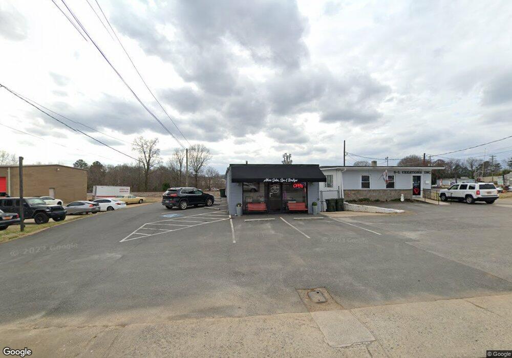
122 E 1st St Lowell, NC 28098
Studio
--
Bath
1,400
Sq Ft
5,663
Sq Ft Lot
About This Home
This home is located at 122 E 1st St, Lowell, NC 28098. 122 E 1st St is a home located in Gaston County with nearby schools including Lowell Elementary School, Holbrook Middle School, and Ashbrook High School.
Ownership History
Date
Name
Owned For
Owner Type
Purchase Details
Closed on
Mar 16, 2011
Sold by
Gittens Patricia A
Bought by
Fannin Realty Group Llc
Home Financials for this Owner
Home Financials are based on the most recent Mortgage that was taken out on this home.
Original Mortgage
$69,000
Outstanding Balance
$47,365
Interest Rate
4.77%
Mortgage Type
Commercial
Purchase Details
Closed on
Sep 22, 2003
Sold by
Busler Cledious Allen and Busler Karen K
Bought by
Gittens Patricia A
Home Financials for this Owner
Home Financials are based on the most recent Mortgage that was taken out on this home.
Original Mortgage
$55,200
Interest Rate
6.33%
Mortgage Type
Commercial
Create a Home Valuation Report for This Property
The Home Valuation Report is an in-depth analysis detailing your home's value as well as a comparison with similar homes in the area
Home Values in the Area
Average Home Value in this Area
Purchase History
| Date | Buyer | Sale Price | Title Company |
|---|---|---|---|
| Fannin Realty Group Llc | $67,500 | None Available | |
| Gittens Patricia A | $69,000 | -- |
Source: Public Records
Mortgage History
| Date | Status | Borrower | Loan Amount |
|---|---|---|---|
| Open | Fannin Realty Group Llc | $69,000 | |
| Previous Owner | Gittens Patricia A | $55,200 |
Source: Public Records
Tax History
| Year | Tax Paid | Tax Assessment Tax Assessment Total Assessment is a certain percentage of the fair market value that is determined by local assessors to be the total taxable value of land and additions on the property. | Land | Improvement |
|---|---|---|---|---|
| 2025 | $1,131 | $105,800 | $28,310 | $77,490 |
| 2024 | $1,131 | $105,800 | $28,310 | $77,490 |
| 2023 | $1,254 | $105,800 | $28,310 | $77,490 |
| 2022 | $1,154 | $81,820 | $31,940 | $49,880 |
| 2021 | $1,080 | $81,820 | $31,940 | $49,880 |
| 2019 | $1,039 | $81,820 | $31,940 | $49,880 |
| 2018 | $968 | $74,457 | $26,657 | $47,800 |
| 2017 | $968 | $74,457 | $26,657 | $47,800 |
| 2016 | $968 | $74,457 | $0 | $0 |
| 2014 | $942 | $72,486 | $26,989 | $45,497 |
Source: Public Records
Map
Nearby Homes
- 211 Seigle St Unit 37-38
- 116 Kenworthy Ave
- 704 McAdenville Rd
- 500 Gann St Unit 51-56
- 00 W 1st St
- 308 Rankin Ave
- 503 Caroline Ave
- 1033 Marguerite Dr
- 7 Stowe St
- 356 Main St
- 4218 Patriots Way
- 1009 Preston Dr
- 1402 Richmond Dr Unit 1
- 2524 Amity Ave
- 546 River View Dr
- 188 Main St
- 2640 Petersburg Ct
- 5128 Meadow Woods Dr
- 3710 Gardner Park Dr
- 4636 Lenden Hall Ct
- 00 Groves St
- 0000 Railroad St Unit 6
- 201 E 1st St
- 00 N Main St
- 000 N Main St
- 118 N Main St
- 208 E 2nd St
- 302 E 1st St
- 107 Branch St
- 105 Branch St
- 305 E 1st St
- 125 N Main St
- 306 E 1st St
- 208 S Main St
- 305 Groves St
- 307 E 1st St
- 117 W 1st St Unit A
- 117 W 1st St Unit C
- 117 W 1st St Unit B
- 0 Church St Unit 974398
Your Personal Tour Guide
Ask me questions while you tour the home.