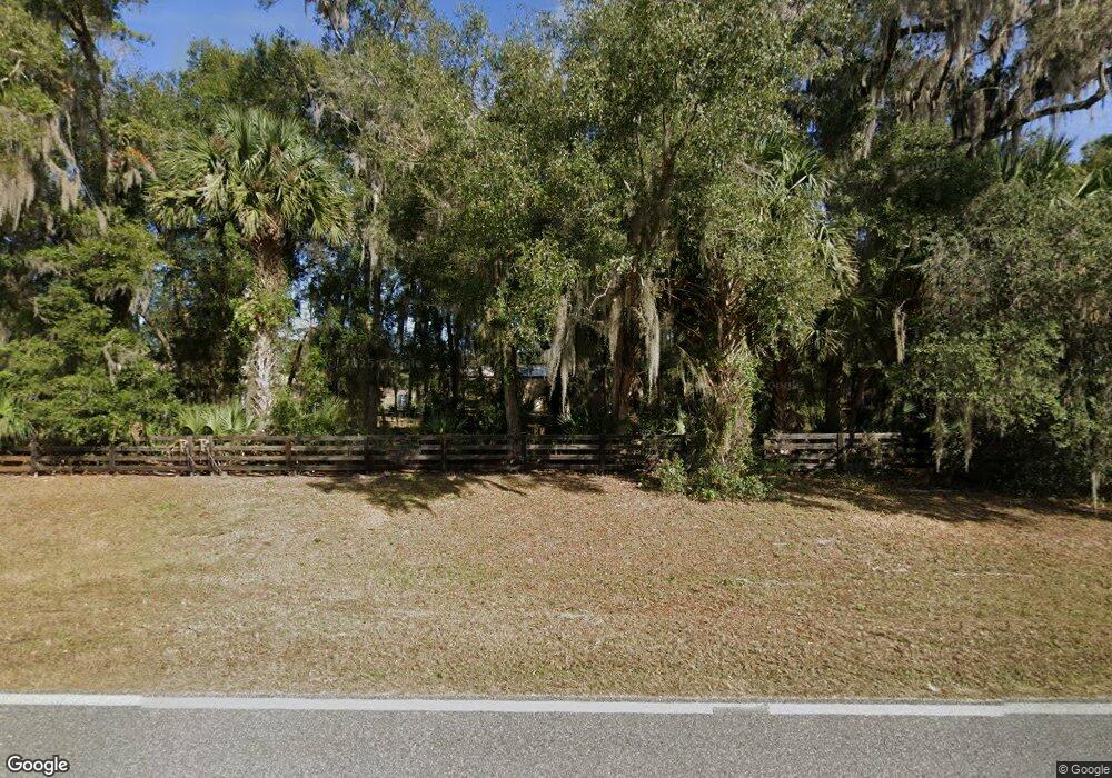
122 E Buffalo Bluff Rd Satsuma, FL 32189
Estimated Value: $595,000 - $1,062,906
--
Bed
--
Bath
--
Sq Ft
13.4
Acres
About This Home
This home is located at 122 E Buffalo Bluff Rd, Satsuma, FL 32189 and is currently estimated at $828,953. 122 E Buffalo Bluff Rd is a home with nearby schools including Browning-Pearce Elementary School, George C. Miller Jr. Intermediate School, and Crescent City Junior/Senior High School.
Ownership History
Date
Name
Owned For
Owner Type
Purchase Details
Closed on
Nov 29, 2017
Sold by
Malphrus Larry Dwayne and Malphrus Ki9mberly G
Bought by
Nicholson Kenneth R
Current Estimated Value
Purchase Details
Closed on
Apr 2, 2004
Sold by
Harrison Sandra U
Bought by
Malphrus Larry Dwayne and Malphrus Kimberly G
Purchase Details
Closed on
Apr 21, 2003
Sold by
Rigsby James R
Bought by
Land Reclamation Inc
Purchase Details
Closed on
Mar 14, 2003
Sold by
Graham C L
Bought by
Harrison James H
Purchase Details
Closed on
Mar 13, 2003
Sold by
Graham Catherine K
Bought by
Harrison James H
Create a Home Valuation Report for This Property
The Home Valuation Report is an in-depth analysis detailing your home's value as well as a comparison with similar homes in the area
Home Values in the Area
Average Home Value in this Area
Purchase History
| Date | Buyer | Sale Price | Title Company |
|---|---|---|---|
| Nicholson Kenneth R | $100,000 | Palatka Abstract & Title Gua | |
| Malphrus Larry Dwayne | $75,000 | -- | |
| Land Reclamation Inc | -- | -- | |
| Harrison James H | $90,000 | Associated Land Title Group | |
| Harrison James H | -- | Associated Land Title Group |
Source: Public Records
Tax History Compared to Growth
Tax History
| Year | Tax Paid | Tax Assessment Tax Assessment Total Assessment is a certain percentage of the fair market value that is determined by local assessors to be the total taxable value of land and additions on the property. | Land | Improvement |
|---|---|---|---|---|
| 2024 | $12,785 | $811,080 | -- | -- |
| 2023 | $3,166 | $235,040 | $160,800 | $74,240 |
| 2022 | $1,622 | $115,960 | $107,200 | $8,760 |
| 2021 | $1,390 | $84,720 | $0 | $0 |
| 2020 | $1,412 | $84,720 | $0 | $0 |
| 2019 | $1,424 | $84,720 | $80,400 | $4,320 |
| 2018 | $1,375 | $80,400 | $80,400 | $0 |
| 2017 | $1,416 | $80,400 | $80,400 | $0 |
| 2016 | $1,389 | $80,400 | $0 | $0 |
| 2015 | $1,399 | $80,400 | $0 | $0 |
| 2014 | $1,380 | $80,400 | $0 | $0 |
Source: Public Records
Map
Nearby Homes
- 1119 S Us Highway 17
- 115 Patrician Place
- 109 Windmill Ct
- 213 W Edgeline Rd
- 123 Coot Rd
- 123 Mallard Rd
- 309 Madison St
- 422 Madison St
- 426 Madison St
- 0 Coot Rd Unit F10521079
- 121 Coot Rd
- 110 Carr Place
- 0 Mallard Rd
- 711 Hickory Nut Trail
- 705 Hickory Nut Trail
- 0 Fern Creek Trail
- 102 Pine Lake Dr
- 0 Tall Pine Trail Unit 1238992
- 209 Highline Trail
- 520 Hickory Nut Trail
- 110 E Buffalo Bluff Rd
- 121 E Buffalo Bluff Rd
- 1075 Highway 17
- 1020 Highway 17
- 1071 Highway 17
- 151 E Buffalo Bluff Rd
- 105 Shady Oak Dr
- 102 Shady Oak Dr
- 113 Shady Oak Dr
- 106 Shady Oak Dr
- 115 E Buffalo Bluff Rd
- 1119 S Us Highway 17
- 1119 S Us Highway 17
- 1119 S Us Highway 17
- 104 Patrician Place
- 115 Shady Oak Dr
- 1126 Highway 17
- 1062 Highway 17
- 1062 U S 17
- 108 Patrician Place
