122 E Fargo St Sheridan, MI 48884
Estimated Value: $110,453 - $162,000
--
Bed
--
Bath
864
Sq Ft
$158/Sq Ft
Est. Value
About This Home
This home is located at 122 E Fargo St, Sheridan, MI 48884 and is currently estimated at $136,613, approximately $158 per square foot. 122 E Fargo St is a home located in Montcalm County with nearby schools including Central Montcalm Elementary School, Central Montcalm Upper Elementary School, and Central Montcalm Middle School.
Ownership History
Date
Name
Owned For
Owner Type
Purchase Details
Closed on
Feb 8, 2017
Sold by
Buchholz Travis and Buchholz Brittny
Bought by
Lund Danny O and Lund Lynn A
Current Estimated Value
Purchase Details
Closed on
May 26, 2009
Sold by
Lund Danny O
Bought by
Buchholz Travis
Purchase Details
Closed on
Feb 16, 2009
Sold by
Citicorp Trust Bank Fsb and Legevdre Masav
Bought by
Lund Danny O and Buchholz Travis
Purchase Details
Closed on
Dec 13, 2007
Sold by
Lund Linda M
Bought by
Citicorp Trust Bank Fsb
Purchase Details
Closed on
Feb 6, 2001
Sold by
Weedmark Norman/Esther Estate
Bought by
Lund Linda
Create a Home Valuation Report for This Property
The Home Valuation Report is an in-depth analysis detailing your home's value as well as a comparison with similar homes in the area
Home Values in the Area
Average Home Value in this Area
Purchase History
| Date | Buyer | Sale Price | Title Company |
|---|---|---|---|
| Lund Danny O | $18,300 | Acker Title Agency | |
| Buchholz Travis | -- | The Montcalm Title Co | |
| Bucholtz Travis | -- | -- | |
| Lund Danny O | $15,000 | Heritage Title Services Llc | |
| Lund Danny O | $14,900 | -- | |
| Citicorp Trust Bank Fsb | $31,900 | None Available | |
| Citicorp Trust Bank Fsb | $31,900 | -- | |
| Lund Linda | $50,000 | -- |
Source: Public Records
Tax History Compared to Growth
Tax History
| Year | Tax Paid | Tax Assessment Tax Assessment Total Assessment is a certain percentage of the fair market value that is determined by local assessors to be the total taxable value of land and additions on the property. | Land | Improvement |
|---|---|---|---|---|
| 2025 | $1,063 | $46,100 | $0 | $0 |
| 2024 | $1,124 | $45,100 | $0 | $0 |
| 2023 | -- | $38,400 | $0 | $0 |
| 2022 | -- | $33,400 | $0 | $0 |
| 2021 | -- | $30,800 | $0 | $0 |
| 2020 | -- | -- | $0 | $0 |
| 2019 | -- | -- | $0 | $0 |
| 2018 | -- | -- | $0 | $0 |
| 2017 | -- | -- | $0 | $0 |
| 2016 | -- | -- | $0 | $0 |
| 2015 | -- | -- | $0 | $0 |
| 2014 | -- | -- | $0 | $0 |
Source: Public Records
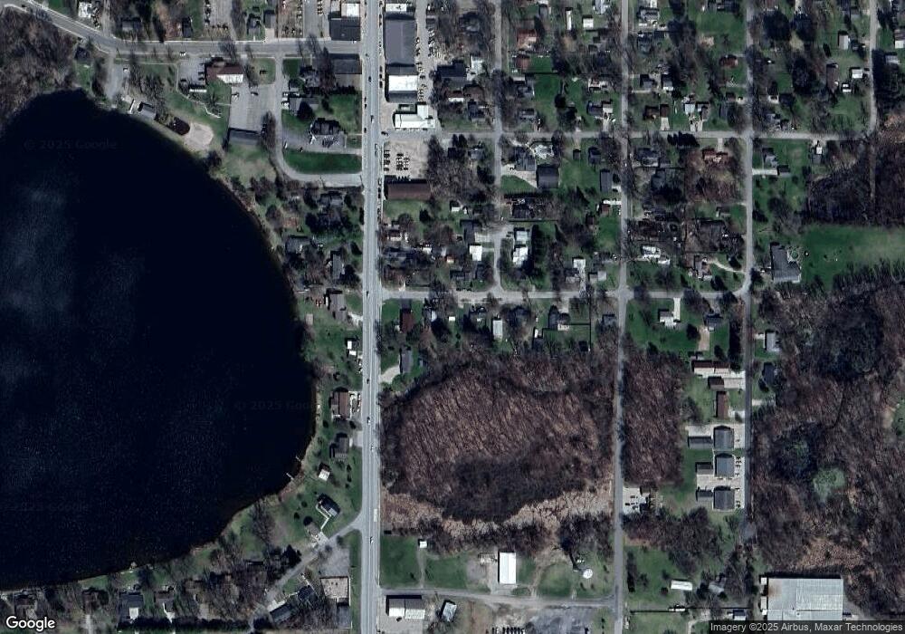
Map
Nearby Homes
- 601 S Main St
- 229 S Sherman St
- 206 S Pearl St
- 104 Bliss Ct
- 4263 S Sheridan Rd
- V/L Lilac Ln
- 148 E Channel Dr
- 5019 S Townhall Rd
- 1832 E Carson City Rd
- 757 E Sidney Rd
- 336 Penny Ln
- 901 Half Moon Lake Dr SW
- 4829 S Derby Rd
- 3211 Wood Duck Dr Unit 24
- 10260 S Sheridan Rd
- 4500 W Wise Rd
- 3043 E Sidney Rd
- 501 W Fenwick Rd
- 2084 W Fenwick Rd
- 4691 County Farm Rd