122 Empty Cove Dr Gravois Mills, MO 65037
Estimated Value: $303,384 - $640,000
2
Beds
1
Bath
900
Sq Ft
$456/Sq Ft
Est. Value
About This Home
This home is located at 122 Empty Cove Dr, Gravois Mills, MO 65037 and is currently estimated at $410,346, approximately $455 per square foot. 122 Empty Cove Dr is a home located in Camden County with nearby schools including Camdenton High School.
Ownership History
Date
Name
Owned For
Owner Type
Purchase Details
Closed on
May 20, 2025
Sold by
Augustine Alec
Bought by
Augustine Alec and Christopher S Augustine And Jenifer R Augusti
Current Estimated Value
Purchase Details
Closed on
Jan 27, 2025
Sold by
Erxleben Danial H and Erxleben Bonnie F
Bought by
Augustine Alec
Home Financials for this Owner
Home Financials are based on the most recent Mortgage that was taken out on this home.
Original Mortgage
$236,000
Interest Rate
6.88%
Mortgage Type
New Conventional
Purchase Details
Closed on
Dec 1, 2009
Bought by
Paul Thomas M
Create a Home Valuation Report for This Property
The Home Valuation Report is an in-depth analysis detailing your home's value as well as a comparison with similar homes in the area
Home Values in the Area
Average Home Value in this Area
Purchase History
| Date | Buyer | Sale Price | Title Company |
|---|---|---|---|
| Augustine Alec | -- | None Listed On Document | |
| Augustine Alec | -- | Integrity Title Solutions | |
| Paul Thomas M | -- | -- |
Source: Public Records
Mortgage History
| Date | Status | Borrower | Loan Amount |
|---|---|---|---|
| Previous Owner | Augustine Alec | $236,000 |
Source: Public Records
Tax History Compared to Growth
Tax History
| Year | Tax Paid | Tax Assessment Tax Assessment Total Assessment is a certain percentage of the fair market value that is determined by local assessors to be the total taxable value of land and additions on the property. | Land | Improvement |
|---|---|---|---|---|
| 2024 | $581 | $12,710 | $0 | $0 |
| 2023 | $580 | $12,710 | $0 | $0 |
| 2022 | $565 | $12,710 | $0 | $0 |
| 2021 | $571 | $12,710 | $0 | $0 |
| 2020 | $573 | $12,710 | $0 | $0 |
| 2019 | $573 | $12,710 | $0 | $0 |
| 2018 | $115 | $2,570 | $0 | $0 |
| 2017 | $119 | $2,570 | $0 | $0 |
| 2016 | $114 | $2,570 | $0 | $0 |
| 2015 | $108 | $2,570 | $0 | $0 |
| 2014 | $109 | $2,570 | $0 | $0 |
| 2013 | -- | $2,570 | $0 | $0 |
Source: Public Records
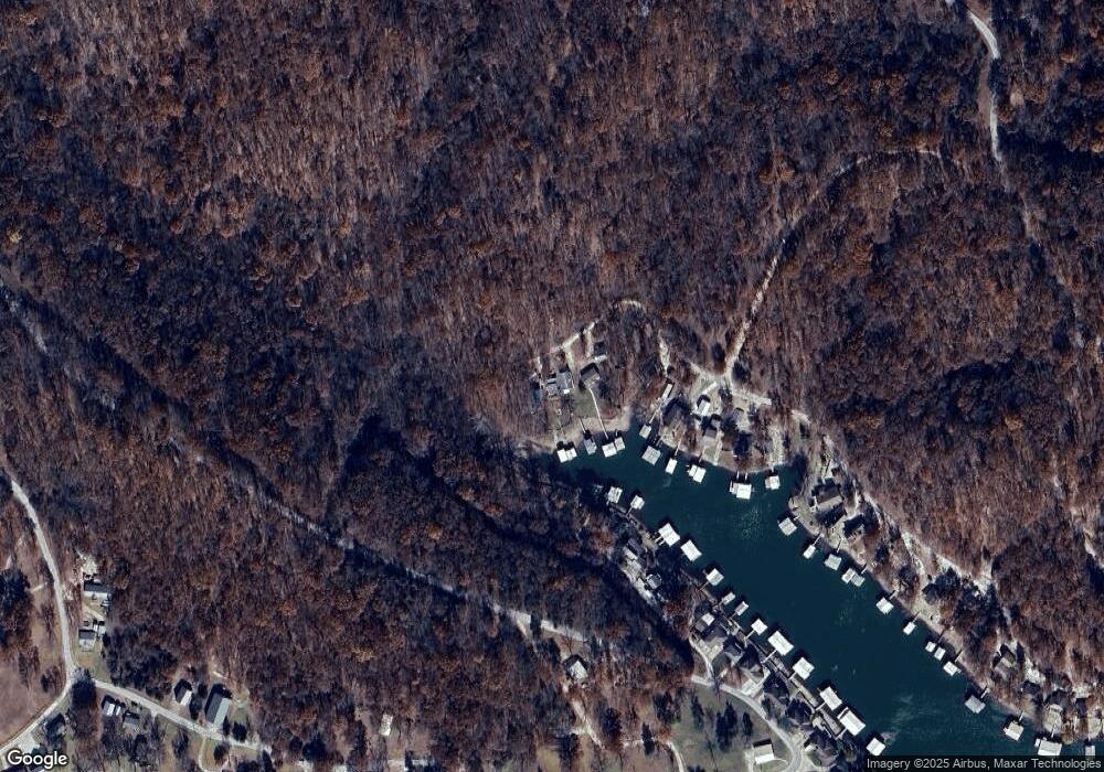
Map
Nearby Homes
- TBD Oak Point Dr
- 0 Oak Point Dr
- Lot 20 Oak Point Dr
- 2021 Wilson Bend Rd Unit Lot 2, Util lot 2
- 2021 Wilson Bend Rd Unit Lot 1, Util Lot 3
- 123 Old Granny Ln
- 28 Chokeberry Ln
- 68 Sy Acres Dr
- 900 Buckridge Rd
- 0 Adkins Rd Unit 3578079
- 1508 Red Fox Rd
- TBD Flathead Rd
- 52 Paradise Valley Rd
- 1153 Red Fox Rd
- 845 Grace Ln
- 187 Channel Rd
- 592 Woodland Dr
- 78 Ke Jo Point Rd
- 57 Ke Jo Point Rd
- 38 Bar Harbour Ln
- 122 Empty Cove Dr
- 118 Empty Cove Dr
- 118 Empty Cove Dr
- 108 Empty Cove Dr
- 42 Empty Cove Dr
- 0 Empty Cove Dr
- 14 Empty Cove Dr
- 105 Shallow Cove Rd
- 95 Shallow Cove Rd
- 6 Empty Cove Dr
- 95 Shallow Cove Rd
- 235 Lighthouse Cove Cir
- 85 Shallow Cove Rd
- 73 Shallow Cove Rd
- 255 Lighthouse Cove Cir
- 273 Lighthouse Cove Cir
- 0 Shallow Cove Rd
- 61 Shallow Cove Rd
- 39 Shallow Cove Rd
- 307 Lighthouse Cove Cir