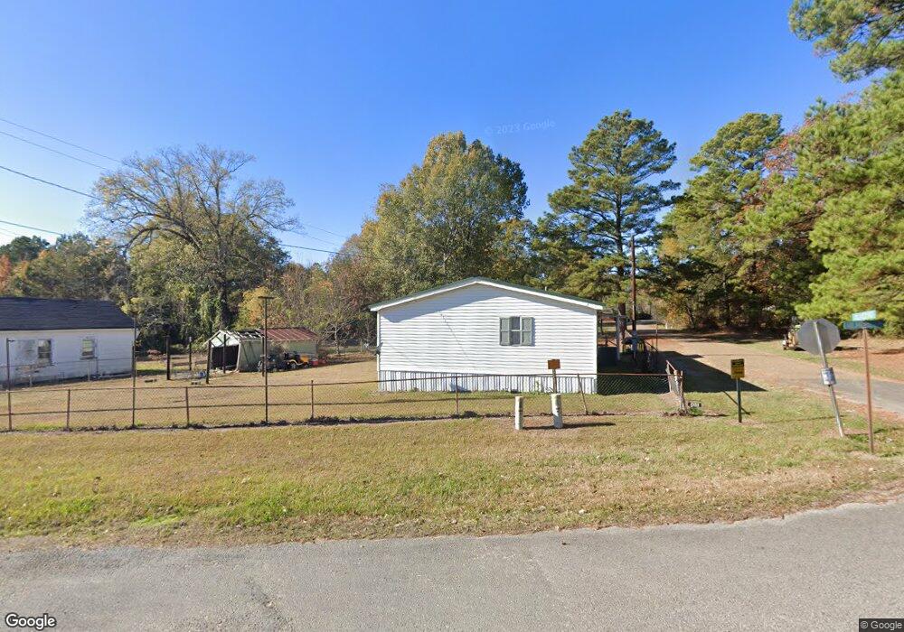
122 Gilmore Rd Sterlington, LA 71280
Estimated Value: $71,047 - $183,000
3
Beds
1
Bath
896
Sq Ft
$151/Sq Ft
Est. Value
About This Home
This home is located at 122 Gilmore Rd, Sterlington, LA 71280 and is currently estimated at $135,512, approximately $151 per square foot. 122 Gilmore Rd is a home located in Union Parish with nearby schools including Union Parish 6th Grade Center.
Ownership History
Date
Name
Owned For
Owner Type
Purchase Details
Closed on
Oct 18, 2011
Sold by
Johnson Bobby Neal and Johnson Weldon Thomas
Bought by
Johnson Elvis Lee
Current Estimated Value
Purchase Details
Closed on
Oct 17, 2011
Sold by
Swan Medra Ilene Johnson and Swan Phillip
Bought by
Johnson Elvis Lee
Purchase Details
Closed on
Oct 11, 2011
Sold by
Spigner Crystal Dawn Johnson
Bought by
Johnson Elvis Lee
Purchase Details
Closed on
Sep 6, 2011
Sold by
Johnson Larry Deon
Bought by
Johnson Elvis Lee
Create a Home Valuation Report for This Property
The Home Valuation Report is an in-depth analysis detailing your home's value as well as a comparison with similar homes in the area
Home Values in the Area
Average Home Value in this Area
Purchase History
| Date | Buyer | Sale Price | Title Company |
|---|---|---|---|
| Johnson Elvis Lee | $1,657 | None Available | |
| Johnson Elvis Lee | -- | None Available | |
| Johnson Elvis Lee | $828 | C | |
| Johnson Elvis Lee | -- | None Available | |
| Johnson Elvis Lee | $828 | None Available |
Source: Public Records
Tax History Compared to Growth
Tax History
| Year | Tax Paid | Tax Assessment Tax Assessment Total Assessment is a certain percentage of the fair market value that is determined by local assessors to be the total taxable value of land and additions on the property. | Land | Improvement |
|---|---|---|---|---|
| 2024 | $230 | $3,161 | $850 | $2,311 |
| 2023 | $230 | $2,609 | $725 | $1,884 |
| 2022 | $176 | $2,609 | $725 | $1,884 |
| 2021 | $488 | $2,609 | $725 | $1,884 |
| 2020 | $488 | $2,609 | $725 | $1,884 |
| 2019 | $420 | $2,029 | $400 | $1,629 |
| 2018 | $0 | $2,029 | $400 | $1,629 |
| 2017 | $0 | $2,746 | $400 | $2,346 |
| 2016 | $49 | $2,746 | $400 | $2,346 |
| 2015 | $49 | $1,546 | $280 | $1,266 |
| 2014 | $49 | $1,550 | $280 | $1,270 |
| 2013 | $173 | $1,550 | $280 | $1,270 |
Source: Public Records
Map
Nearby Homes
- 247 Harris Rd
- 01 Garland Rd
- 103 Link Dr
- 107 Link Dr
- 109 Link Dr
- 0 Kingsfield Loop Rd Unit 216154
- 0 Longfield Rd
- 209 Ronaldson Ave
- 9368 Desiard Trace
- 306 Bayou Trace Dr
- 102 Rogers Ave
- 9381 Desiard Trace
- 9036 Desiard Trace
- 9228 Desiard Trace
- 9268 Desiard Trace
- 9254 Desiard Trace
- 9267 Desiard Trace
- 9369 Desiard Trace
- 9218 Desiard Trace
- 9088 Desiard Trace