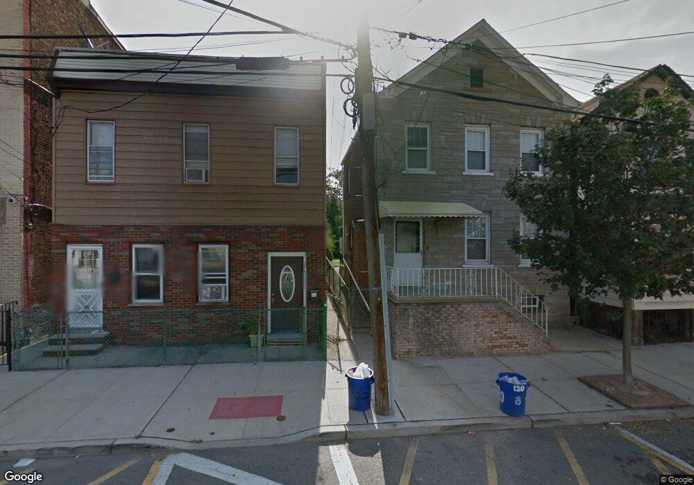
122 Grant Ave Harrison, NJ 07029
Estimated Value: $493,000 - $683,000
Studio
--
Bath
2,058
Sq Ft
$286/Sq Ft
Est. Value
About This Home
This home is located at 122 Grant Ave, Harrison, NJ 07029 and is currently estimated at $589,183, approximately $286 per square foot. 122 Grant Ave is a home located in Hudson County with nearby schools including Kennedy Elementary School, Hamilton Intermediate School, and Lincoln No. 3 Elementary School.
Ownership History
Date
Name
Owned For
Owner Type
Purchase Details
Closed on
Aug 17, 2020
Sold by
Alves Nelson
Bought by
Alves Holdings 122 Llc
Current Estimated Value
Home Financials for this Owner
Home Financials are based on the most recent Mortgage that was taken out on this home.
Original Mortgage
$3,170,000
Interest Rate
2.9%
Mortgage Type
New Conventional
Purchase Details
Closed on
Dec 23, 2003
Sold by
Coro Ruth L and Coro Paul J
Bought by
Alves Nelson
Home Financials for this Owner
Home Financials are based on the most recent Mortgage that was taken out on this home.
Original Mortgage
$170,000
Interest Rate
5.65%
Mortgage Type
Purchase Money Mortgage
Create a Home Valuation Report for This Property
The Home Valuation Report is an in-depth analysis detailing your home's value as well as a comparison with similar homes in the area
Home Values in the Area
Average Home Value in this Area
Purchase History
| Date | Buyer | Sale Price | Title Company |
|---|---|---|---|
| Alves Holdings 122 Llc | -- | Fidelity National Title | |
| Alves Holdings 122 Llc | -- | Fidelity National Title | |
| Alves Nelson | $200,000 | -- |
Source: Public Records
Mortgage History
| Date | Status | Borrower | Loan Amount |
|---|---|---|---|
| Previous Owner | Alves Holdings 122 Llc | $3,170,000 | |
| Previous Owner | Alves Nelson | $170,000 |
Source: Public Records
Tax History
| Year | Tax Paid | Tax Assessment Tax Assessment Total Assessment is a certain percentage of the fair market value that is determined by local assessors to be the total taxable value of land and additions on the property. | Land | Improvement |
|---|---|---|---|---|
| 2025 | $8,924 | $380,400 | $180,000 | $200,400 |
| 2024 | $8,745 | $380,400 | $180,000 | $200,400 |
| 2023 | $8,745 | $380,400 | $180,000 | $200,400 |
| 2022 | $8,677 | $380,400 | $180,000 | $200,400 |
| 2021 | $8,532 | $380,400 | $180,000 | $200,400 |
| 2020 | $8,673 | $380,400 | $180,000 | $200,400 |
| 2019 | $7,987 | $110,000 | $40,000 | $70,000 |
| 2018 | $7,937 | $110,000 | $40,000 | $70,000 |
| 2017 | $7,963 | $110,000 | $40,000 | $70,000 |
| 2016 | $7,924 | $110,000 | $40,000 | $70,000 |
| 2015 | $7,708 | $110,000 | $40,000 | $70,000 |
| 2014 | $7,565 | $110,000 | $40,000 | $70,000 |
Source: Public Records
Map
Nearby Homes
- 402 N 3rd St
- 308-310 Passaic Ave
- 308-310 Passaic Ave Unit 215
- 308-310 Passaic Ave Unit 301
- 214 William St
- 310 Passaic Ave Unit 308
- 310 Passaic Ave Unit 301
- 308 Passaic Ave Unit 315
- 209 Hamilton St
- 316 William St
- 527 N 3rd St
- 323 William St
- 421 Central Ave
- 430 Central Ave
- 409 Hamilton St
- 200 Dey St Unit 257
- 200 Dey St Unit 231
- 200 Dey St Unit 258
- 416 Scott Mobus Place Unit 420
- 419 Hamilton St
- 120 Grant Ave Unit 1
- 120 Grant Ave
- 118 Grant Ave
- 126 Grant Ave Unit 1
- 126 Grant Ave Unit 2
- 128 Grant Ave
- 116 Grant Ave
- 130 Grant Ave
- 130 Grant Ave Unit 2
- 130 Grant Ave Unit 2nd Fl.
- 306 John St Unit 2
- 306 John St
- 308 John St
- 304 John St
- 114 Grant Ave
- 302 John St
- 310 John St
- 310 John St Unit 2
- 300 John St
- 312 John St
Your Personal Tour Guide
Ask me questions while you tour the home.