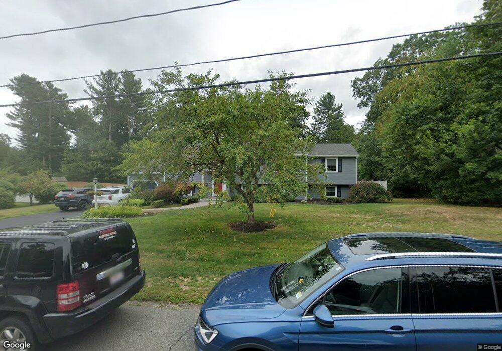
122 Henrys Ln Hanover, MA 02339
Estimated Value: $727,000 - $801,000
4
Beds
3
Baths
1,336
Sq Ft
$567/Sq Ft
Est. Value
About This Home
This home is located at 122 Henrys Ln, Hanover, MA 02339 and is currently estimated at $757,895, approximately $567 per square foot. 122 Henrys Ln is a home located in Plymouth County with nearby schools including Hanover High School, Norwell KinderCare, and Cadence Academy Preschool - Hanover.
Ownership History
Date
Name
Owned For
Owner Type
Purchase Details
Closed on
Oct 14, 2005
Sold by
Mann Scott P and Mann Janet L
Bought by
Puzzangara Mark and Puzzangara Marlo A
Current Estimated Value
Purchase Details
Closed on
Sep 30, 2002
Sold by
Coady Shawn M and Coady Sheila
Bought by
Mann Scott P and Mann Janet L
Purchase Details
Closed on
Nov 5, 1999
Sold by
Baker Darrell S and Baker Chairel L
Bought by
Coady Shawn M
Create a Home Valuation Report for This Property
The Home Valuation Report is an in-depth analysis detailing your home's value as well as a comparison with similar homes in the area
Home Values in the Area
Average Home Value in this Area
Purchase History
| Date | Buyer | Sale Price | Title Company |
|---|---|---|---|
| Puzzangara Mark | $447,500 | -- | |
| Mann Scott P | $355,000 | -- | |
| Coady Shawn M | $246,000 | -- |
Source: Public Records
Mortgage History
| Date | Status | Borrower | Loan Amount |
|---|---|---|---|
| Open | Coady Shawn M | $332,200 | |
| Closed | Coady Shawn M | $22,300 |
Source: Public Records
Tax History Compared to Growth
Tax History
| Year | Tax Paid | Tax Assessment Tax Assessment Total Assessment is a certain percentage of the fair market value that is determined by local assessors to be the total taxable value of land and additions on the property. | Land | Improvement |
|---|---|---|---|---|
| 2025 | $8,016 | $649,100 | $269,400 | $379,700 |
| 2024 | $7,992 | $622,400 | $269,400 | $353,000 |
| 2023 | $7,923 | $587,300 | $244,900 | $342,400 |
| 2022 | $8,172 | $535,900 | $244,900 | $291,000 |
| 2021 | $7,347 | $481,500 | $222,600 | $258,900 |
| 2020 | $7,780 | $477,000 | $222,600 | $254,400 |
| 2019 | $7,240 | $441,200 | $222,600 | $218,600 |
| 2018 | $7,111 | $436,800 | $222,600 | $214,200 |
| 2017 | $6,595 | $399,200 | $209,500 | $189,700 |
| 2016 | $6,410 | $380,200 | $190,500 | $189,700 |
| 2015 | $5,564 | $344,500 | $190,500 | $154,000 |
Source: Public Records
Map
Nearby Homes
- 53 Chestnut St
- 276 Woodland Dr
- 70 Dillingham Way
- 375 Webster St
- 7 Assinippi Ave Unit 306
- 118 Bates Way
- 62 Larchmont Ln
- 114 Main St
- 1239 Main St
- 265 Silver St
- 80 Coolidge Rd
- 14 Longwood Ln Unit 14
- 8 Old Farm Rd
- 348 Main St
- 225 Prospect St
- 107 Wildcat Ln
- 216 Whiting St
- 214 Washington St Unit 24
- 214 Washington St Unit 28
- Lot 24 Webster Farm Way
- 134 Henrys Ln
- 106 Henrys Ln
- 123 Henrys Ln
- 0 Henrys Ln
- 544 Old Town Way
- 532 Old Town Way
- 556 Old Town Way
- 146 Henrys Ln
- 135 Henrys Ln
- 598 Old Town Way
- 520 Old Town Way
- 18 Acorn Cir
- 568 Old Town Way
- 527 Old Town Way
- 147 Henrys Ln
- 93 Henrys Ln
- 158 Henrys Ln
- 539 Old Town Way
- 587 Old Town Way
- 551 Old Town Way