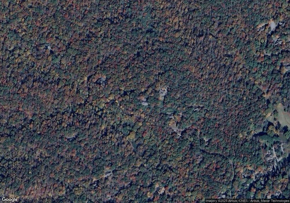
122 High Vista Way Brevard, NC 28712
Estimated Value: $644,000 - $792,000
3
Beds
3
Baths
3,064
Sq Ft
$233/Sq Ft
Est. Value
About This Home
This home is located at 122 High Vista Way, Brevard, NC 28712 and is currently estimated at $715,380, approximately $233 per square foot. 122 High Vista Way is a home located in Transylvania County.
Ownership History
Date
Name
Owned For
Owner Type
Purchase Details
Closed on
May 19, 2023
Sold by
John C Davis Administrative Trust
Bought by
Lynn Marie Steele Trust and John C Davis Living Trust
Current Estimated Value
Purchase Details
Closed on
Oct 22, 2008
Sold by
Penoyer Paul Richard
Bought by
Davis John C and John C Davis Living Tr
Home Financials for this Owner
Home Financials are based on the most recent Mortgage that was taken out on this home.
Original Mortgage
$210,000
Interest Rate
6.11%
Mortgage Type
New Conventional
Purchase Details
Closed on
Apr 1, 1998
Bought by
Davis John C Trustee
Create a Home Valuation Report for This Property
The Home Valuation Report is an in-depth analysis detailing your home's value as well as a comparison with similar homes in the area
Home Values in the Area
Average Home Value in this Area
Purchase History
| Date | Buyer | Sale Price | Title Company |
|---|---|---|---|
| Lynn Marie Steele Trust | -- | Chicago Title | |
| Davis John C | $210,000 | None Available | |
| Davis John C Trustee | $350,000 | -- |
Source: Public Records
Mortgage History
| Date | Status | Borrower | Loan Amount |
|---|---|---|---|
| Previous Owner | Davis John C | $210,000 |
Source: Public Records
Tax History Compared to Growth
Tax History
| Year | Tax Paid | Tax Assessment Tax Assessment Total Assessment is a certain percentage of the fair market value that is determined by local assessors to be the total taxable value of land and additions on the property. | Land | Improvement |
|---|---|---|---|---|
| 2025 | $2,514 | $612,430 | $152,500 | $459,930 |
| 2024 | $2,929 | $485,430 | $150,000 | $335,430 |
| 2023 | $2,929 | $485,430 | $150,000 | $335,430 |
| 2022 | $2,929 | $485,430 | $150,000 | $335,430 |
| 2021 | $2,929 | $485,430 | $150,000 | $335,430 |
| 2020 | $2,482 | $390,270 | $0 | $0 |
| 2019 | $2,482 | $390,270 | $0 | $0 |
| 2018 | $3,985 | $390,270 | $0 | $0 |
| 2017 | $3,926 | $390,270 | $0 | $0 |
| 2016 | $3,868 | $390,270 | $0 | $0 |
| 2015 | $3,527 | $418,390 | $86,250 | $332,140 |
| 2014 | $3,527 | $418,390 | $86,250 | $332,140 |
Source: Public Records
Map
Nearby Homes
- 54 Wintergreen Dr
- 111 Wintergreen Dr
- TBD Pine Mountain Trail
- TBD Pine Mountain Trail Unit M8 & M9
- TBD Pine Mountain Trail Unit M9
- TBD Pine Mountain Trail Unit M8
- TBD Pine Mountain Trail Unit M79
- Lot M6 Pine Mountain Trail Unit M6
- Lot M9 Pine Mountain Trail
- 99999 Pine Mountain Trail Unit M37
- M92 Pine Mountain Trail Unit M92
- L12R Trailside Ct
- 132 Fox Cross Dr
- 900 Bud Siniard Rd
- TBD Trailside Ct
- 73 Ridgetop Cir Unit 303
- 23 Eagle Run
- M12R Elk Mountain Trail Unit M12R
- 311 Cambridge Dr
- 276 Cambridge Dr
- 153 High Vista Way
- Lot 11 Stone Dr
- 314 Stone Dr
- Lot 13 Stone Dr
- 309 Stone Dr
- 500 Stone Dr
- 298 Stone Dr
- Lot 15 Stone Dr Unit L 15
- L 15, Sec 1 Stone Dr Unit L 15
- 1000 Water Tank Rd Unit Parcel A & B
- 696 Stone Dr
- 266 Stone Dr
- 229 Stone Dr
- 868 Stone Dr
- 73 Woodsong Way
- 179 Woodsong Way
- Parcel A Stone Dr Unit A
- 000 Woodsong Way Unit Lot 14
- 376 Camptown Rd Rd
- 100 Water Tank Rd
