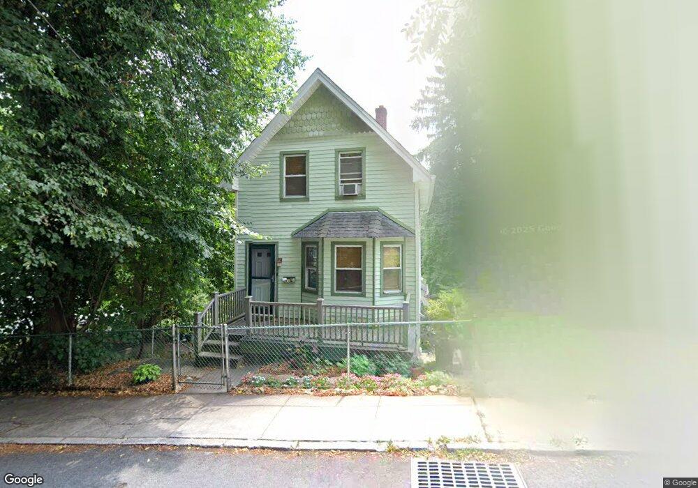
122 Hillside Ave Staten Island, NY 10304
Grymes Hill NeighborhoodEstimated Value: $489,405 - $622,000
--
Bed
4
Baths
1,072
Sq Ft
$510/Sq Ft
Est. Value
About This Home
This home is located at 122 Hillside Ave, Staten Island, NY 10304 and is currently estimated at $546,351, approximately $509 per square foot. 122 Hillside Ave is a home located in Richmond County with nearby schools including P.S. 35 The Clove Valley School, I.S. 49 Berta A Dreyfus, and Curtis High School.
Ownership History
Date
Name
Owned For
Owner Type
Purchase Details
Closed on
Nov 30, 1993
Sold by
Clair Kenneth F and Will & Testament Of Frances L
Bought by
Fischer Howard D
Current Estimated Value
Home Financials for this Owner
Home Financials are based on the most recent Mortgage that was taken out on this home.
Original Mortgage
$96,000
Interest Rate
5.75%
Create a Home Valuation Report for This Property
The Home Valuation Report is an in-depth analysis detailing your home's value as well as a comparison with similar homes in the area
Home Values in the Area
Average Home Value in this Area
Purchase History
| Date | Buyer | Sale Price | Title Company |
|---|---|---|---|
| Fischer Howard D | $120,000 | -- |
Source: Public Records
Mortgage History
| Date | Status | Borrower | Loan Amount |
|---|---|---|---|
| Closed | Fischer Howard D | $96,000 |
Source: Public Records
Tax History Compared to Growth
Tax History
| Year | Tax Paid | Tax Assessment Tax Assessment Total Assessment is a certain percentage of the fair market value that is determined by local assessors to be the total taxable value of land and additions on the property. | Land | Improvement |
|---|---|---|---|---|
| 2025 | $3,381 | $34,500 | $5,168 | $29,332 |
| 2024 | $3,486 | $34,800 | $5,123 | $29,677 |
| 2023 | $3,488 | $20,420 | $5,415 | $15,005 |
| 2022 | $2,993 | $30,840 | $8,640 | $22,200 |
| 2021 | $3,119 | $27,180 | $8,640 | $18,540 |
| 2020 | $1,472 | $23,460 | $8,640 | $14,820 |
| 2019 | $2,938 | $22,920 | $8,640 | $14,280 |
| 2018 | $3,171 | $17,017 | $7,682 | $9,335 |
| 2017 | $2,975 | $16,063 | $6,337 | $9,726 |
| 2016 | $2,722 | $15,166 | $5,732 | $9,434 |
| 2015 | $2,445 | $14,330 | $5,211 | $9,119 |
| 2014 | $2,445 | $14,330 | $6,253 | $8,077 |
Source: Public Records
Map
Nearby Homes
- 65 Cedarcliff Rd
- 20 Signal Hill Rd
- 93 Pleasant Valley Ave
- 54 Cedarcliff Rd
- 50 Cedarcliff Rd
- 148 Hillside Ave
- 0 Hillside Ave
- 68 Signal Hill Rd
- 34 Claire Ct
- 61 Wandel Ave
- 0 Howard Ave
- 0 Woodside Ave
- 16 Pleasant Valley Ave
- 980 van Duzer St
- 20 Stratford Ave Unit A
- 10 Wandel Ave
- 56 Park Ln
- 310-312 Hillside Ave
- 12 Stratford Ave Unit B
- 12 Stratford Ave Unit A
- 130 Hillside Ave
- 116 Hillside Ave
- 89 Pleasant Valley Ave
- 85 Pleasant Valley Ave
- 95 Pleasant Valley Ave
- 132 Hillside Ave
- 68 Cedarcliff Rd
- 115 Hillside Ave
- 75 Pleasant Valley Ave
- 64 Cedarcliff Rd
- 76 Cedarcliff Rd
- 73 Pleasant Valley Ave
- 71 Pleasant Valley Ave
- 78 Cedarcliff Rd
- 103 Hillside Ave
- 146 Hillside Ave
- 58 Cedarcliff Rd
- 90 Pleasant Valley Ave
- 86 Pleasant Valley Ave
- 94 Pleasant Valley Ave