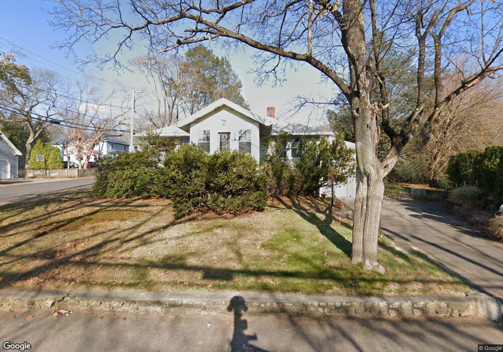
122 Hunnewell St Needham Heights, MA 02494
Estimated Value: $1,133,000 - $1,295,472
4
Beds
2
Baths
1,879
Sq Ft
$651/Sq Ft
Est. Value
About This Home
This home is located at 122 Hunnewell St, Needham Heights, MA 02494 and is currently estimated at $1,222,368, approximately $650 per square foot. 122 Hunnewell St is a home located in Norfolk County with nearby schools including Eliot Elementary School, High Rock Middle School, and Pollard Middle School.
Ownership History
Date
Name
Owned For
Owner Type
Purchase Details
Closed on
Aug 28, 1992
Sold by
Siraco Ronald D and Siraco Jeanne K
Bought by
Skelly Patrick
Current Estimated Value
Home Financials for this Owner
Home Financials are based on the most recent Mortgage that was taken out on this home.
Original Mortgage
$144,000
Interest Rate
8.09%
Mortgage Type
Purchase Money Mortgage
Purchase Details
Closed on
Sep 28, 1988
Sold by
Morin Exr Alfred L
Bought by
Siraco Ronald D
Home Financials for this Owner
Home Financials are based on the most recent Mortgage that was taken out on this home.
Original Mortgage
$105,000
Interest Rate
10.66%
Mortgage Type
Purchase Money Mortgage
Create a Home Valuation Report for This Property
The Home Valuation Report is an in-depth analysis detailing your home's value as well as a comparison with similar homes in the area
Home Values in the Area
Average Home Value in this Area
Purchase History
| Date | Buyer | Sale Price | Title Company |
|---|---|---|---|
| Skelly Patrick | $180,000 | -- | |
| Skelly Patrick | $180,000 | -- | |
| Siraco Ronald D | $195,000 | -- |
Source: Public Records
Mortgage History
| Date | Status | Borrower | Loan Amount |
|---|---|---|---|
| Closed | Siraco Ronald D | $144,000 | |
| Previous Owner | Siraco Ronald D | $105,000 |
Source: Public Records
Tax History Compared to Growth
Tax History
| Year | Tax Paid | Tax Assessment Tax Assessment Total Assessment is a certain percentage of the fair market value that is determined by local assessors to be the total taxable value of land and additions on the property. | Land | Improvement |
|---|---|---|---|---|
| 2025 | $10,823 | $1,021,000 | $759,500 | $261,500 |
| 2024 | $9,439 | $753,900 | $490,800 | $263,100 |
| 2023 | $9,571 | $734,000 | $490,800 | $243,200 |
| 2022 | $9,737 | $673,100 | $439,300 | $233,800 |
| 2021 | $8,770 | $673,100 | $439,300 | $233,800 |
| 2020 | $8,681 | $695,000 | $439,300 | $255,700 |
| 2019 | $8,057 | $650,300 | $400,300 | $250,000 |
| 2018 | $7,726 | $650,300 | $400,300 | $250,000 |
| 2017 | $7,380 | $620,700 | $400,300 | $220,400 |
| 2016 | $7,163 | $620,700 | $400,300 | $220,400 |
| 2015 | $7,008 | $620,700 | $400,300 | $220,400 |
| 2014 | $6,368 | $547,100 | $335,300 | $211,800 |
Source: Public Records
Map
Nearby Homes
- 48 Taylor St
- 443 Central Ave
- 14 Hunnewell St
- 70 Booth St
- 78 Hunnewell St
- 263 Hunnewell St
- 310 Oakland St
- 35 Andrea Cir
- 71 Brookside Rd
- 7 Avery St
- 381 Hunnewell St Unit 381
- 379 Hunnewell St Unit 379
- 206 Cedar St
- 132 Hillside Ave
- 208 Webster St
- 400 Hunnewell St Unit 103
- 760 Highland Ave Unit 2
- 36 Davenport Rd
- 28 Mercer Rd
- 445 Hillside Ave
- 128 Hunnewell St
- 100 Taylor St
- 112 Hunnewell St
- 92 Taylor St
- 123 Hunnewell St
- 99 Taylor St
- 134 Hunnewell St
- 67 Grasmere Rd
- 95 Taylor St
- 104 Hunnewell St
- 133 Hunnewell St
- 107 Hunnewell St
- 137 Hunnewell St
- 84 Taylor St
- 125 Taylor St
- 57 Grasmere Rd
- 142 Hunnewell St
- 98 Hunnewell St
- 134 Taylor St
- 143 Hunnewell St