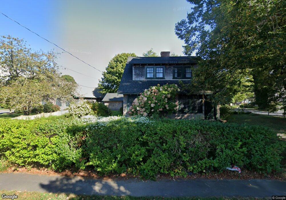
122 King St Falmouth, MA 02540
Falmouth Village NeighborhoodEstimated Value: $1,035,000 - $1,451,000
4
Beds
2
Baths
2,201
Sq Ft
$540/Sq Ft
Est. Value
About This Home
This home is located at 122 King St, Falmouth, MA 02540 and is currently estimated at $1,188,428, approximately $539 per square foot. 122 King St is a home located in Barnstable County with nearby schools including Mullen-Hall School, Lawrence School, and Morse Pond School.
Ownership History
Date
Name
Owned For
Owner Type
Purchase Details
Closed on
May 22, 2025
Sold by
Demers Paul R
Bought by
Demers House Ft and Demers
Current Estimated Value
Purchase Details
Closed on
Jun 15, 1999
Sold by
Ef and Df Ahern T
Bought by
Demers Paul R and Demers Monica L
Create a Home Valuation Report for This Property
The Home Valuation Report is an in-depth analysis detailing your home's value as well as a comparison with similar homes in the area
Home Values in the Area
Average Home Value in this Area
Purchase History
| Date | Buyer | Sale Price | Title Company |
|---|---|---|---|
| Demers House Ft | -- | -- | |
| Demers House Ft | -- | -- | |
| Demers Paul R | $196,000 | -- | |
| Demers Paul R | $196,000 | -- |
Source: Public Records
Mortgage History
| Date | Status | Borrower | Loan Amount |
|---|---|---|---|
| Previous Owner | Demers Paul R | $363,750 | |
| Previous Owner | Demers Paul R | $384,000 | |
| Previous Owner | Demers Paul R | $263,000 |
Source: Public Records
Tax History Compared to Growth
Tax History
| Year | Tax Paid | Tax Assessment Tax Assessment Total Assessment is a certain percentage of the fair market value that is determined by local assessors to be the total taxable value of land and additions on the property. | Land | Improvement |
|---|---|---|---|---|
| 2025 | $4,984 | $849,000 | $324,700 | $524,300 |
| 2024 | $4,844 | $771,400 | $295,200 | $476,200 |
| 2023 | $4,877 | $704,700 | $295,200 | $409,500 |
| 2022 | $4,774 | $593,000 | $269,200 | $323,800 |
| 2021 | $4,557 | $536,100 | $257,500 | $278,600 |
| 2020 | $4,404 | $512,700 | $234,100 | $278,600 |
| 2019 | $4,331 | $506,000 | $234,100 | $271,900 |
| 2018 | $4,202 | $488,600 | $234,100 | $254,500 |
| 2017 | $4,091 | $479,600 | $234,100 | $245,500 |
| 2016 | $4,014 | $479,600 | $234,100 | $245,500 |
| 2015 | $3,928 | $479,600 | $234,100 | $245,500 |
| 2014 | $3,895 | $477,900 | $234,100 | $243,800 |
Source: Public Records
Map
Nearby Homes
- 65 Walker St
- 480 Main St Unit 1
- 253 Scranton Ave
- 98 Main St
- 98 Main St Unit 1
- 110 Dillingham Ave Unit 322
- 71 Main St
- 30 Katherine Lee Bates Rd
- 9 Fairmount Ave Unit 1
- 9 Fairmount Ave
- 55 Jericho Path
- 33 Oakwood Ave
- 15 Hedge Ln
- 286 Grand Ave Unit 6
- 286 Grand Ave Unit 8
- 286 Grand Ave Unit 4
- 22 Alma Rd
- 354 Gifford St Unit 5
- 354 Gifford St Unit 2
- 354 Gifford St Unit 6
- 0 King St
- 16 Fairview Ave
- 134 King St
- 11 Fairview Ave
- 117 King St
- 22 Fairview Ave
- 105 King St
- 21 Fairview Ave
- 100 King St Unit 1-6
- 100 King St
- 137 King St
- 142 King St
- 133 King St
- 104 King St Unit J
- 104 King St Unit I
- 104 King St Unit H
- 104 King St Unit G
- 104 King St Unit F
- 104 King St Unit E
- 104 King St Unit D