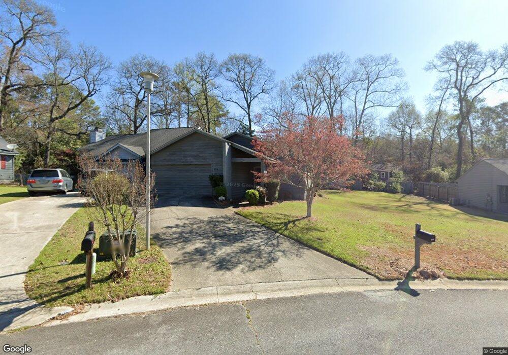
122 Lake Pointe Dr Warner Robins, GA 31088
Estimated Value: $154,000 - $166,000
--
Bed
2
Baths
1,291
Sq Ft
$123/Sq Ft
Est. Value
About This Home
This home is located at 122 Lake Pointe Dr, Warner Robins, GA 31088 and is currently estimated at $158,644, approximately $122 per square foot. 122 Lake Pointe Dr is a home located in Houston County with nearby schools including Russell Elementary School, Huntington Middle School, and Warner Robins High School.
Ownership History
Date
Name
Owned For
Owner Type
Purchase Details
Closed on
Mar 23, 2002
Sold by
Haynes Billy D and Haynes Dollie K
Bought by
Haynes Billy D Etal
Current Estimated Value
Purchase Details
Closed on
Nov 21, 1994
Sold by
Gentry David N
Bought by
Haynes Billy D and Haynes Dollie K
Purchase Details
Closed on
Jun 10, 1988
Sold by
Amerifirst Communities Inc
Bought by
Gentry David N
Create a Home Valuation Report for This Property
The Home Valuation Report is an in-depth analysis detailing your home's value as well as a comparison with similar homes in the area
Home Values in the Area
Average Home Value in this Area
Purchase History
| Date | Buyer | Sale Price | Title Company |
|---|---|---|---|
| Haynes Billy D Etal | -- | -- | |
| Haynes Billy D | $64,900 | -- | |
| Gentry David N | $66,300 | -- | |
| Amerifirst Communities Inc | -- | -- |
Source: Public Records
Tax History Compared to Growth
Tax History
| Year | Tax Paid | Tax Assessment Tax Assessment Total Assessment is a certain percentage of the fair market value that is determined by local assessors to be the total taxable value of land and additions on the property. | Land | Improvement |
|---|---|---|---|---|
| 2024 | $1,190 | $50,040 | $4,400 | $45,640 |
| 2023 | $922 | $41,600 | $4,400 | $37,200 |
| 2022 | $697 | $39,480 | $4,400 | $35,080 |
| 2021 | $556 | $33,200 | $4,400 | $28,800 |
| 2020 | $552 | $32,920 | $4,400 | $28,520 |
| 2019 | $552 | $32,920 | $4,400 | $28,520 |
| 2018 | $552 | $32,920 | $4,400 | $28,520 |
| 2017 | $553 | $32,920 | $4,400 | $28,520 |
| 2016 | $554 | $32,920 | $4,400 | $28,520 |
| 2015 | -- | $32,920 | $4,400 | $28,520 |
| 2014 | -- | $32,920 | $4,400 | $28,520 |
| 2013 | -- | $32,920 | $4,400 | $28,520 |
Source: Public Records
Map
Nearby Homes
- 705 Tallulah Trail
- 266 Southland Station Dr
- 236 Tallulah Trail
- 238 Tallulah Trail
- 122 Tallulah Trail
- 102 Tallulah Trail
- 362 Tallulah Trail
- 452 Tallulah Trail
- 104 Crossing Place
- 101 Leisure Lake Ct
- 103 Leisure Lake Ct
- 105 Leisure Lake Ct
- 202 Lake Front Dr
- 217 Station Way
- 108 Pheasant Cove
- 0 S Kimberly Rd
- 201 Beaver Run Dr
- 105 Marvin Blvd
- 422 Lake Front Dr
- 314 Air View Dr Unit 8
- 124 Lake Pointe Dr
- 118 Lake Pointe Dr
- 126 Lake Pointe Dr
- 128 Lake Pointe Dr
- 121 Lake Pointe Dr
- 130 Lake Pointe Dr
- 114 Lake Pointe Dr
- 131 Lake Pointe Dr
- 115 Lake Pointe Dr
- 132 Lake Pointe Dr
- 113 Lake Pointe Dr
- 112 Lake Pointe Dr
- 133 Lake Pointe Dr
- 134 Lake Pointe Dr
- 111 Lake Pointe Dr
- 110 Lake Pointe Dr
- 135 Lake Pointe Dr
- 136 Lake Pointe Dr
- 252 Southland Station Dr
- 109 Lake Pointe Dr