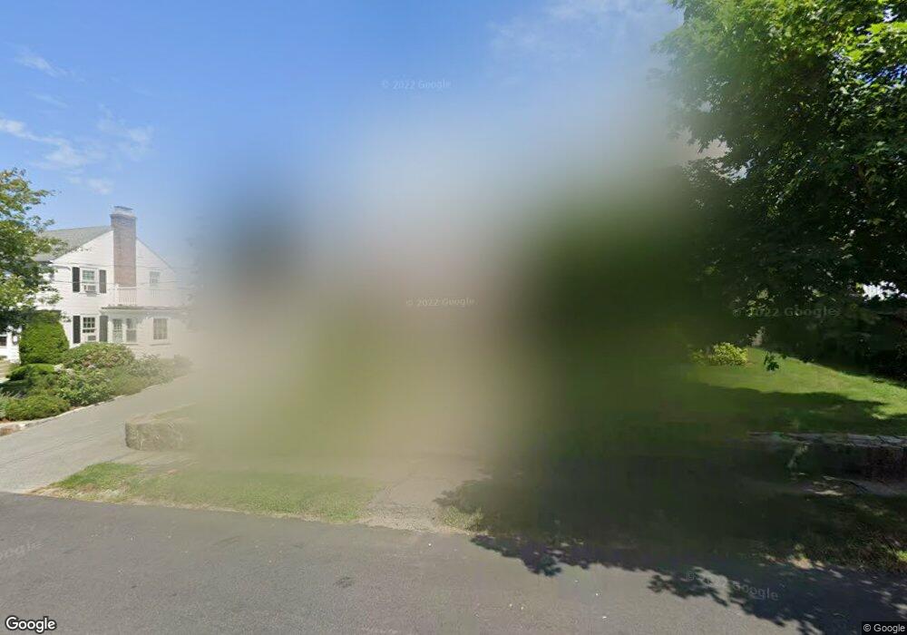
122 Lansdowne St Quincy, MA 02171
Squantum NeighborhoodEstimated Value: $1,109,000 - $1,379,000
4
Beds
3
Baths
2,437
Sq Ft
$499/Sq Ft
Est. Value
About This Home
This home is located at 122 Lansdowne St, Quincy, MA 02171 and is currently estimated at $1,215,207, approximately $498 per square foot. 122 Lansdowne St is a home located in Norfolk County with nearby schools including Squantum Elementary School, Atlantic Middle School, and North Quincy High School.
Ownership History
Date
Name
Owned For
Owner Type
Purchase Details
Closed on
Mar 11, 2020
Sold by
Largey Kathleen K
Bought by
Kathleen K Largey Lt
Current Estimated Value
Purchase Details
Closed on
Apr 20, 1999
Sold by
Shaughnessy H and Shaughnessy Leanne
Bought by
Largey Thomas L and Largey Kathleen K
Purchase Details
Closed on
Aug 12, 1988
Sold by
Larkin Vincent E
Bought by
Dolbec Robt P
Create a Home Valuation Report for This Property
The Home Valuation Report is an in-depth analysis detailing your home's value as well as a comparison with similar homes in the area
Home Values in the Area
Average Home Value in this Area
Purchase History
| Date | Buyer | Sale Price | Title Company |
|---|---|---|---|
| Kathleen K Largey Lt | -- | None Available | |
| Largey Thomas L | $350,000 | -- | |
| Dolbec Robt P | $227,000 | -- |
Source: Public Records
Mortgage History
| Date | Status | Borrower | Loan Amount |
|---|---|---|---|
| Previous Owner | Dolbec Robt P | $214,000 | |
| Previous Owner | Dolbec Robt P | $242,000 | |
| Previous Owner | Dolbec Robt P | $85,000 |
Source: Public Records
Tax History Compared to Growth
Tax History
| Year | Tax Paid | Tax Assessment Tax Assessment Total Assessment is a certain percentage of the fair market value that is determined by local assessors to be the total taxable value of land and additions on the property. | Land | Improvement |
|---|---|---|---|---|
| 2025 | $11,531 | $1,000,100 | $434,000 | $566,100 |
| 2024 | $10,909 | $968,000 | $413,300 | $554,700 |
| 2023 | $10,123 | $909,500 | $393,600 | $515,900 |
| 2022 | $9,899 | $826,300 | $328,000 | $498,300 |
| 2021 | $9,835 | $810,100 | $328,000 | $482,100 |
| 2020 | $9,380 | $754,600 | $298,100 | $456,500 |
| 2019 | $9,190 | $732,300 | $298,100 | $434,200 |
| 2018 | $9,150 | $685,900 | $283,900 | $402,000 |
| 2017 | $8,652 | $610,600 | $246,900 | $363,700 |
| 2016 | $8,013 | $558,000 | $224,400 | $333,600 |
| 2015 | $7,739 | $530,100 | $224,400 | $305,700 |
| 2014 | $7,556 | $508,500 | $224,400 | $284,100 |
Source: Public Records
Map
Nearby Homes
- 116 Crabtree Rd
- 63 Crabtree Rd
- 15 Huckins Ave
- 19 Knollwood Rd
- 15 Knollwood Rd
- 1 Parke Ave
- 2 Parke Ave
- 22 Winslow Rd
- 153 Bayside Rd
- 6 Schooner Ln
- 19 Harbourside Rd Unit 19
- 9 Whaler Ln
- 10 Sloop Ln
- 25 Hummock Rd
- 25 Tilden Commons Dr
- 1001 Marina Dr Unit 801
- 1001 Marina Dr Unit 213
- 1001 Marina Dr Unit 612
- 297 Billings St
- 2001 Marina Dr Unit 506W
- 116 Lansdowne St
- 128 Lansdowne St
- 128 Lansdowne St Unit 128
- 145 Sonoma Rd
- 123 Essex St
- 117 Essex St
- 117 Lansdowne St
- 121 Lansdowne St
- 139 Sonoma Rd
- 104 Lansdowne St
- 111 Essex St
- 111 Lansdowne St
- 140 Lansdowne St
- 144 Sonoma Rd
- 107 Essex St
- 130 Essex St
- 124 Essex St
- 141 Essex St
- 137 Lansdowne St
- 120 Essex St