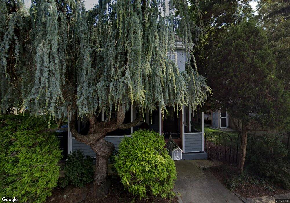
122 Lenape Ave Mays Landing, NJ 08330
Estimated Value: $239,939 - $377,000
Studio
--
Bath
1,422
Sq Ft
$216/Sq Ft
Est. Value
About This Home
This home is located at 122 Lenape Ave, Mays Landing, NJ 08330 and is currently estimated at $307,485, approximately $216 per square foot. 122 Lenape Ave is a home located in Atlantic County with nearby schools including Joseph Shaner School, George L. Hess Educational Complex, and William Davies Middle School.
Ownership History
Date
Name
Owned For
Owner Type
Purchase Details
Closed on
Aug 18, 1993
Sold by
Smith Peter L and Smith Donna M
Bought by
Ruban John R and Ruban Patricia
Current Estimated Value
Create a Home Valuation Report for This Property
The Home Valuation Report is an in-depth analysis detailing your home's value as well as a comparison with similar homes in the area
Home Values in the Area
Average Home Value in this Area
Purchase History
| Date | Buyer | Sale Price | Title Company |
|---|---|---|---|
| Ruban John R | $99,500 | -- |
Source: Public Records
Tax History
| Year | Tax Paid | Tax Assessment Tax Assessment Total Assessment is a certain percentage of the fair market value that is determined by local assessors to be the total taxable value of land and additions on the property. | Land | Improvement |
|---|---|---|---|---|
| 2025 | $4,220 | $123,000 | $45,200 | $77,800 |
| 2024 | $4,220 | $123,000 | $45,200 | $77,800 |
Source: Public Records
Map
Nearby Homes
- 565 Park Rd
- 80 Mill St
- Rt 50 and Old Mays Landing Rd
- 204 Route 50
- 0 3rd St
- 6126 Longwood Ave
- 10 Pin Oak Dr
- 1st First Ave
- Lot:11.02-12.02 Estelle Ave
- B:534 L:11.01 Estelle Ave
- B:534 L:12.02 Estelle Ave
- B:534 L:11.02 Estelle Ave
- 104 Vail Ct
- 101 Vail Ct
- Bl 531 Lot 8&9 Adams Ave
- 907 Blake Dr
- 705 Meadowbrook Dr Unit 7E
- 604 Meadowbrook Dr Unit 6D
- 6206 Roberts Ave
- 1007 Matthews Ave
Your Personal Tour Guide
Ask me questions while you tour the home.