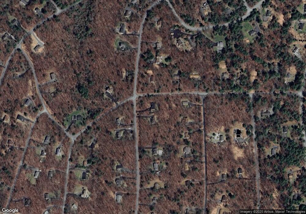
122 Locust Dr Milford, PA 18337
Estimated Value: $351,316 - $407,000
3
Beds
2
Baths
1,712
Sq Ft
$221/Sq Ft
Est. Value
About This Home
This home is located at 122 Locust Dr, Milford, PA 18337 and is currently estimated at $379,158, approximately $221 per square foot. 122 Locust Dr is a home located in Pike County with nearby schools including Delaware Valley High School.
Ownership History
Date
Name
Owned For
Owner Type
Purchase Details
Closed on
Apr 27, 2006
Sold by
Lothson Mark D and Lothson Shaunna M
Bought by
Edwards Angelica and Cook Curtiss
Current Estimated Value
Home Financials for this Owner
Home Financials are based on the most recent Mortgage that was taken out on this home.
Original Mortgage
$403,750
Outstanding Balance
$233,835
Interest Rate
6.4%
Mortgage Type
New Conventional
Estimated Equity
$145,323
Create a Home Valuation Report for This Property
The Home Valuation Report is an in-depth analysis detailing your home's value as well as a comparison with similar homes in the area
Home Values in the Area
Average Home Value in this Area
Purchase History
| Date | Buyer | Sale Price | Title Company |
|---|---|---|---|
| Edwards Angelica | $425,000 | None Available |
Source: Public Records
Mortgage History
| Date | Status | Borrower | Loan Amount |
|---|---|---|---|
| Open | Edwards Angelica | $403,750 |
Source: Public Records
Tax History Compared to Growth
Tax History
| Year | Tax Paid | Tax Assessment Tax Assessment Total Assessment is a certain percentage of the fair market value that is determined by local assessors to be the total taxable value of land and additions on the property. | Land | Improvement |
|---|---|---|---|---|
| 2025 | $4,969 | $32,890 | $2,750 | $30,140 |
| 2024 | $4,969 | $32,890 | $2,750 | $30,140 |
| 2023 | $4,895 | $32,890 | $2,750 | $30,140 |
| 2022 | $4,764 | $32,890 | $2,750 | $30,140 |
| 2021 | $4,714 | $32,890 | $2,750 | $30,140 |
| 2020 | $4,691 | $32,890 | $2,750 | $30,140 |
| 2019 | $4,529 | $32,890 | $2,750 | $30,140 |
| 2018 | $4,529 | $32,890 | $2,750 | $30,140 |
| 2017 | $4,407 | $32,890 | $2,750 | $30,140 |
| 2016 | $0 | $32,890 | $2,750 | $30,140 |
| 2014 | -- | $32,890 | $2,750 | $30,140 |
Source: Public Records
Map
Nearby Homes
- Lot 1500 Kunigunde Dr
- 229 Locust Dr
- 0 Arrowood Dr
- 106 Arbutus Ct
- 119 Aspen Dr
- 108 Rhododendron Ln
- 127 E Mulberry Dr
- 119 Sequoia Ln
- 0 Aspen Dr
- 157 E Mulberry Dr
- Lot 1537 Sequoia Ln
- 109 Pitch Pine Dr
- 235 Locust Dr
- 151 Primrose Ln
- 0 Larkspur Ln
- 142 Birch Leaf Dr
- 107 Winterberry Dr
- Lot 344 Sec 4 Lakewood Dr
- 110 Middleton Dr
- 109 Gwinnett Rd
- 122 Locust Dr
- 124 Locust Dr
- 103 Blueberry Dr
- 123 Locust Ct
- 105 Blueberry Dr
- 123 Bayberry Dr
- 123 Locust Dr
- 135 Bayberry Dr
- 135 Bayberry Dr
- 117 Locust Dr
- 107 Blueberry Dr
- 132 Locust Dr
- 131 Locust Dr
- 112 Locust Dr
- 121 Bayberry Dr
- Lot 615 Bayberry Dr
- 614 Bayberry Dr
- 67 Bayberry Dr
- Lot 65 Bayberry Dr
- 160 Bayberry Dr
