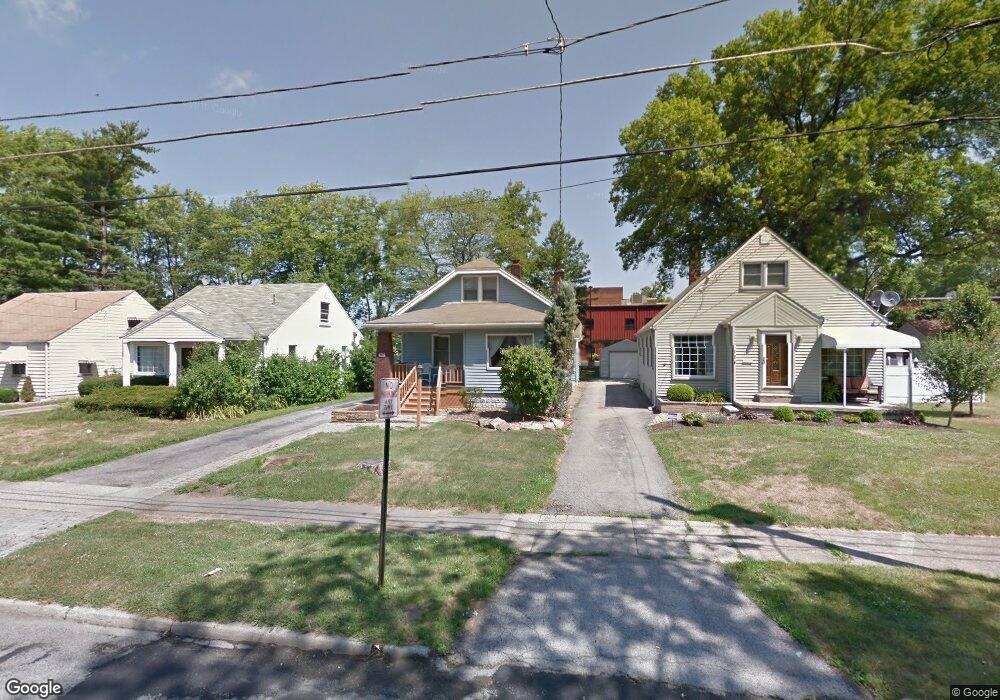
122 Maple Dr Youngstown, OH 44512
Estimated Value: $125,000 - $145,000
3
Beds
1
Bath
1,434
Sq Ft
$94/Sq Ft
Est. Value
About This Home
This home is located at 122 Maple Dr, Youngstown, OH 44512 and is currently estimated at $135,051, approximately $94 per square foot. 122 Maple Dr is a home located in Mahoning County with nearby schools including Boardman Glenwood Junior High School, Boardman High School, and Horizon Science Academy - Youngstown.
Ownership History
Date
Name
Owned For
Owner Type
Purchase Details
Closed on
Sep 29, 2004
Sold by
Myers Roger A
Bought by
Haloulos Sam
Current Estimated Value
Home Financials for this Owner
Home Financials are based on the most recent Mortgage that was taken out on this home.
Original Mortgage
$69,600
Outstanding Balance
$33,616
Interest Rate
5.93%
Mortgage Type
Purchase Money Mortgage
Estimated Equity
$101,435
Purchase Details
Closed on
Aug 26, 1998
Sold by
Deeley James E and Deeley Tamara J
Bought by
Myers Roger A
Home Financials for this Owner
Home Financials are based on the most recent Mortgage that was taken out on this home.
Original Mortgage
$57,600
Interest Rate
7.03%
Purchase Details
Closed on
Sep 20, 1988
Bought by
Deeley James E and Deeley Tamara J
Create a Home Valuation Report for This Property
The Home Valuation Report is an in-depth analysis detailing your home's value as well as a comparison with similar homes in the area
Home Values in the Area
Average Home Value in this Area
Purchase History
| Date | Buyer | Sale Price | Title Company |
|---|---|---|---|
| Haloulos Sam | $87,000 | -- | |
| Myers Roger A | $72,000 | -- | |
| Deeley James E | $31,000 | -- |
Source: Public Records
Mortgage History
| Date | Status | Borrower | Loan Amount |
|---|---|---|---|
| Open | Haloulos Sam | $69,600 | |
| Previous Owner | Myers Roger A | $57,600 | |
| Closed | Haloulos Sam | $17,400 |
Source: Public Records
Tax History
| Year | Tax Paid | Tax Assessment Tax Assessment Total Assessment is a certain percentage of the fair market value that is determined by local assessors to be the total taxable value of land and additions on the property. | Land | Improvement |
|---|---|---|---|---|
| 2025 | $1,530 | $30,280 | $3,120 | $27,160 |
| 2024 | $1,565 | $30,280 | $3,120 | $27,160 |
| 2023 | $1,545 | $30,280 | $3,120 | $27,160 |
| 2022 | $1,196 | $17,760 | $3,020 | $14,740 |
| 2021 | $1,168 | $17,320 | $3,020 | $14,300 |
| 2020 | $1,174 | $17,320 | $3,020 | $14,300 |
| 2019 | $1,200 | $15,330 | $2,670 | $12,660 |
| 2018 | $1,000 | $15,330 | $2,670 | $12,660 |
| 2017 | $1,035 | $15,330 | $2,670 | $12,660 |
| 2016 | $1,085 | $16,750 | $3,190 | $13,560 |
| 2015 | $1,063 | $16,750 | $3,190 | $13,560 |
| 2014 | $1,066 | $16,750 | $3,190 | $13,560 |
| 2013 | $1,053 | $16,750 | $3,190 | $13,560 |
Source: Public Records
Map
Nearby Homes
- 4441 Southern Blvd
- 4803 Southern Blvd Unit 805
- 189 Beechwood Dr
- 63 Clifton Dr
- 86 Terrace Dr
- 196 Maywood Dr
- 4127 Southern Blvd
- 4144 Helena Ave
- 4717 Market St
- 28 Terrace Dr
- 28 Jennette Dr
- 4941 Market St
- 192 Hollywood Ave
- 94 Jennette Dr
- 4206 Rush Blvd
- 173 Clarencedale Ave
- 21 Vermont Ave
- 132 Jennette Dr
- 3916 Howard St
- 4250 Oak Knoll Dr
Your Personal Tour Guide
Ask me questions while you tour the home.