122 Maple Rd Blakeslee, PA 18610
Estimated Value: $270,000 - $363,000
4
Beds
2
Baths
1,728
Sq Ft
$185/Sq Ft
Est. Value
About This Home
This home is located at 122 Maple Rd, Blakeslee, PA 18610 and is currently estimated at $319,487, approximately $184 per square foot. 122 Maple Rd is a home located in Monroe County with nearby schools including Tobyhanna Elementary Center, Clear Run Intermediate School, and Pocono Mountain West Junior High School.
Ownership History
Date
Name
Owned For
Owner Type
Purchase Details
Closed on
Jul 28, 2020
Sold by
Needham Nancy and Kides Nancy
Bought by
Levin Eduard and Mushlina Yeveniya
Current Estimated Value
Home Financials for this Owner
Home Financials are based on the most recent Mortgage that was taken out on this home.
Original Mortgage
$108,000
Outstanding Balance
$95,804
Interest Rate
3%
Mortgage Type
New Conventional
Estimated Equity
$223,683
Purchase Details
Closed on
Apr 27, 1973
Bought by
Needham Nancy
Create a Home Valuation Report for This Property
The Home Valuation Report is an in-depth analysis detailing your home's value as well as a comparison with similar homes in the area
Home Values in the Area
Average Home Value in this Area
Purchase History
| Date | Buyer | Sale Price | Title Company |
|---|---|---|---|
| Levin Eduard | $135,000 | Paramount Abstract Inc | |
| Needham Nancy | $6,000 | -- |
Source: Public Records
Mortgage History
| Date | Status | Borrower | Loan Amount |
|---|---|---|---|
| Open | Levin Eduard | $108,000 |
Source: Public Records
Tax History Compared to Growth
Tax History
| Year | Tax Paid | Tax Assessment Tax Assessment Total Assessment is a certain percentage of the fair market value that is determined by local assessors to be the total taxable value of land and additions on the property. | Land | Improvement |
|---|---|---|---|---|
| 2025 | $876 | $119,450 | $24,000 | $95,450 |
| 2024 | $715 | $119,450 | $24,000 | $95,450 |
| 2023 | $3,037 | $119,450 | $24,000 | $95,450 |
| 2022 | $2,984 | $119,450 | $24,000 | $95,450 |
| 2021 | $2,984 | $119,450 | $24,000 | $95,450 |
| 2020 | $3,003 | $119,450 | $24,000 | $95,450 |
| 2019 | $2,747 | $16,370 | $2,250 | $14,120 |
| 2018 | $2,747 | $16,370 | $2,250 | $14,120 |
| 2017 | $2,779 | $16,370 | $2,250 | $14,120 |
| 2016 | $548 | $16,370 | $2,250 | $14,120 |
| 2015 | -- | $16,370 | $2,250 | $14,120 |
| 2014 | -- | $16,370 | $2,250 | $14,120 |
Source: Public Records
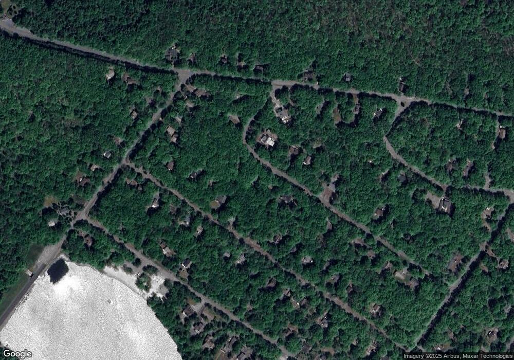
Map
Nearby Homes
- 0 Maple Rd
- 155 Oak Place
- 202 Thornberry Ln
- 0 Schochs Mill Rd Unit PM-130509
- 0 Schochs Mill Rd Unit 754301
- 50 Schochs Mill Rd
- Lot 54 Blueberry Run
- 318 Birch Dr
- Lot 18 Boulder Rd
- 136 Birch Dr
- 1156 Boulder Rd
- 344 Birch Dr
- 123 Buck Hill Rd
- 0 Crest View Dr 45 Aka Birch Dr
- 72 Buck Hill Rd
- 281 Fern Ridge Rd
- 0 Woodland Place Unit PM-134813
- 0 Woodland Place
- 255 Birch Dr
- 207 Game Ln