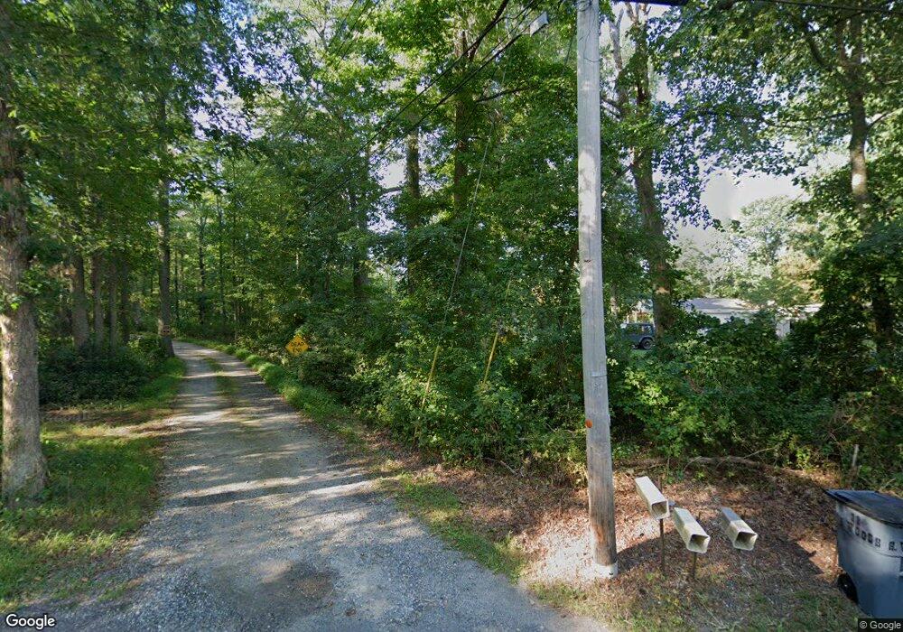
122 Mount Misery Rd Browns Mills, NJ 08015
Estimated Value: $293,000 - $403,000
2
Beds
1
Bath
1,021
Sq Ft
$334/Sq Ft
Est. Value
About This Home
This home is located at 122 Mount Misery Rd, Browns Mills, NJ 08015 and is currently estimated at $341,266, approximately $334 per square foot. 122 Mount Misery Rd is a home located in Burlington County.
Ownership History
Date
Name
Owned For
Owner Type
Purchase Details
Closed on
Oct 25, 2017
Sold by
Paetzold Jeffrey and Rollins Paige
Bought by
Holden Terri
Current Estimated Value
Home Financials for this Owner
Home Financials are based on the most recent Mortgage that was taken out on this home.
Original Mortgage
$130,000
Outstanding Balance
$108,876
Interest Rate
3.83%
Mortgage Type
New Conventional
Estimated Equity
$232,390
Purchase Details
Closed on
Jun 15, 2011
Sold by
Montgomery Timothy W and Montgomery Mally
Bought by
Paetzold Jeffrey
Home Financials for this Owner
Home Financials are based on the most recent Mortgage that was taken out on this home.
Original Mortgage
$143,108
Interest Rate
4.52%
Mortgage Type
New Conventional
Purchase Details
Closed on
Oct 21, 2005
Sold by
Krulish William A and Kraft Patricia
Bought by
Montgomery Timothy and Santi Mally Li
Home Financials for this Owner
Home Financials are based on the most recent Mortgage that was taken out on this home.
Original Mortgage
$205,200
Interest Rate
5.85%
Mortgage Type
Fannie Mae Freddie Mac
Create a Home Valuation Report for This Property
The Home Valuation Report is an in-depth analysis detailing your home's value as well as a comparison with similar homes in the area
Home Values in the Area
Average Home Value in this Area
Purchase History
| Date | Buyer | Sale Price | Title Company |
|---|---|---|---|
| Holden Terri | $180,000 | None Available | |
| Paetzold Jeffrey | $138,100 | Surety Title Corp | |
| Montgomery Timothy | $216,000 | Peoples Title Agency Inc |
Source: Public Records
Mortgage History
| Date | Status | Borrower | Loan Amount |
|---|---|---|---|
| Open | Holden Terri | $130,000 | |
| Previous Owner | Paetzold Jeffrey | $143,108 | |
| Previous Owner | Montgomery Timothy | $205,200 |
Source: Public Records
Tax History Compared to Growth
Tax History
| Year | Tax Paid | Tax Assessment Tax Assessment Total Assessment is a certain percentage of the fair market value that is determined by local assessors to be the total taxable value of land and additions on the property. | Land | Improvement |
|---|---|---|---|---|
| 2025 | $5,165 | $168,500 | $53,800 | $114,700 |
| 2024 | $4,846 | $168,500 | $53,800 | $114,700 |
| 2023 | $4,846 | $168,500 | $53,800 | $114,700 |
| 2022 | $4,485 | $168,500 | $53,800 | $114,700 |
| 2021 | $4,302 | $168,500 | $53,800 | $114,700 |
| 2020 | $4,140 | $168,500 | $53,800 | $114,700 |
| 2019 | $3,697 | $157,100 | $53,800 | $103,300 |
| 2018 | $3,571 | $157,100 | $53,800 | $103,300 |
| 2017 | $3,497 | $157,100 | $53,800 | $103,300 |
| 2016 | $3,357 | $89,800 | $25,200 | $64,600 |
| 2015 | $3,330 | $89,800 | $25,200 | $64,600 |
| 2014 | $3,183 | $89,800 | $25,200 | $64,600 |
Source: Public Records
Map
Nearby Homes
- 0 Pembrown Rd Unit NJBL2061932
- 3561 Weymouth Rd
- 3698 A Nashua St
- 3594 Nashua St
- 3620 Weymouth Rd
- 3610 Weymouth Rd
- 3394 Liberty St
- 3399 Liberty St
- 20 Coville Dr
- 204 Scammell Dr
- 20 Carp Ln
- 601 Concord Dr
- 215 Coville Dr
- 217 Coville Dr
- 28 Scammell Dr
- 511 Laurel Blvd
- 25 Railroad St
- 42 Monroe Ave
- 108 Juliustown Rd
- 5 Pea Patch Rd
- 150 Mount Misery Rd
- 120 Mount Misery Rd
- 111 Mount Misery Rd
- 118 Mount Misery Rd
- 20 S Woods Rd
- 20 Woods Rd
- 103 Mount Misery Rd
- 114 Mount Misery Rd
- 114 Mount Misery Rd
- 112 Mount Misery Rd
- 115 Four Mile Rd
- 119 Four Mile Rd
- 22 Woods Rd
- 26 Woods Rd
- 122 Mount Misery Rd
- 125 Four Mile Rd
- 119 4 Mile Rd
- 119 Four Mile Rd
- 120 4 Mile Rd
- 137 Four Mile Rd
