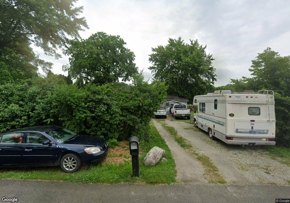
122 Mulberry Rd Anderson, IN 46017
Estimated Value: $159,000 - $230,000
4
Beds
1
Bath
2,576
Sq Ft
$80/Sq Ft
Est. Value
About This Home
This home is located at 122 Mulberry Rd, Anderson, IN 46017 and is currently estimated at $205,797, approximately $79 per square foot. 122 Mulberry Rd is a home located in Madison County with nearby schools including Valley Grove Elementary School, Highland Middle School, and Anderson High School.
Ownership History
Date
Name
Owned For
Owner Type
Purchase Details
Closed on
Dec 30, 2010
Sold by
Wrigh Jenny Malone
Bought by
Lee Billy and Malone Ruth A
Current Estimated Value
Home Financials for this Owner
Home Financials are based on the most recent Mortgage that was taken out on this home.
Original Mortgage
$310,000
Outstanding Balance
$207,882
Interest Rate
4.44%
Estimated Equity
-$2,085
Purchase Details
Closed on
Mar 19, 2007
Sold by
Homesales Inc
Bought by
Malone Billy L and Malone Ruth A
Home Financials for this Owner
Home Financials are based on the most recent Mortgage that was taken out on this home.
Original Mortgage
$31,950
Interest Rate
6.19%
Mortgage Type
New Conventional
Purchase Details
Closed on
Jul 7, 2006
Sold by
Taylor Abbie G and Taylor James D
Bought by
Homesales Inc
Purchase Details
Closed on
Feb 15, 2005
Sold by
Taylor Mitchell Debra J
Bought by
Taylor Abbie G
Create a Home Valuation Report for This Property
The Home Valuation Report is an in-depth analysis detailing your home's value as well as a comparison with similar homes in the area
Home Values in the Area
Average Home Value in this Area
Purchase History
| Date | Buyer | Sale Price | Title Company |
|---|---|---|---|
| Lee Billy | -- | None Available | |
| Malone Billy L | -- | -- | |
| Homesales Inc | $51,873 | -- | |
| Taylor Abbie G | -- | -- |
Source: Public Records
Mortgage History
| Date | Status | Borrower | Loan Amount |
|---|---|---|---|
| Open | Lee Billy | $310,000 | |
| Previous Owner | Malone Billy L | $31,950 |
Source: Public Records
Tax History Compared to Growth
Tax History
| Year | Tax Paid | Tax Assessment Tax Assessment Total Assessment is a certain percentage of the fair market value that is determined by local assessors to be the total taxable value of land and additions on the property. | Land | Improvement |
|---|---|---|---|---|
| 2024 | $1,248 | $115,400 | $13,900 | $101,500 |
| 2023 | $1,120 | $102,200 | $13,200 | $89,000 |
| 2022 | $1,090 | $101,900 | $12,900 | $89,000 |
| 2021 | $1,004 | $94,100 | $12,900 | $81,200 |
| 2020 | $953 | $89,500 | $12,300 | $77,200 |
| 2019 | $917 | $85,600 | $12,300 | $73,300 |
| 2018 | $817 | $78,800 | $12,300 | $66,500 |
| 2017 | $778 | $80,800 | $12,300 | $68,500 |
| 2016 | $755 | $80,800 | $12,300 | $68,500 |
| 2014 | $689 | $80,200 | $12,300 | $67,900 |
| 2013 | $689 | $80,200 | $12,300 | $67,900 |
Source: Public Records
Map
Nearby Homes
- 300 South St
- 417 S Water St
- 321 S Washington St
- 225 Vine St
- 15 S Washington St
- 415 Linden Ln
- 14 Eastman Rd
- 2100 Kitchen Dr
- 4492 W State Road 32
- 407 Crestview Ct
- 2111 Angie Ln
- 818 Vasbinder Dr
- 2006 Dena Dr
- 811 North St
- 311 Laurel Dr
- 0 Eastwood Way Unit MBR22029212
- 2328 Discovery Dr
- 4429 Village Dr
- 0 W 100 S Unit 202527970
- 0 W 100 S Unit MBR22051157