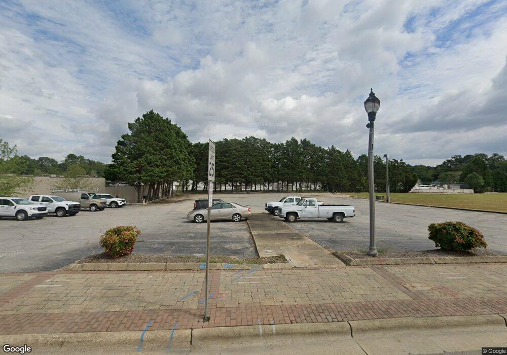
122 N Main St Fuquay-Varina, NC 27526
Estimated Value: $985,629
--
Bed
--
Bath
2,740
Sq Ft
$360/Sq Ft
Est. Value
About This Home
This home is located at 122 N Main St, Fuquay-Varina, NC 27526 and is currently estimated at $985,629, approximately $359 per square foot. 122 N Main St is a home located in Wake County with nearby schools including Fuquay-Varina High, Achievement Charter Academy, and Southern Wake Academy.
Ownership History
Date
Name
Owned For
Owner Type
Purchase Details
Closed on
Sep 30, 2020
Sold by
J P M Investments Llc
Bought by
Town Of Fuquay Varina
Current Estimated Value
Purchase Details
Closed on
Jan 30, 2006
Sold by
Hardees Food Systems Inc
Bought by
J P M Investments Llc
Home Financials for this Owner
Home Financials are based on the most recent Mortgage that was taken out on this home.
Original Mortgage
$245,000
Interest Rate
6.21%
Mortgage Type
Commercial
Create a Home Valuation Report for This Property
The Home Valuation Report is an in-depth analysis detailing your home's value as well as a comparison with similar homes in the area
Home Values in the Area
Average Home Value in this Area
Purchase History
| Date | Buyer | Sale Price | Title Company |
|---|---|---|---|
| Town Of Fuquay Varina | $650,000 | None Available | |
| J P M Investments Llc | $290,000 | None Available |
Source: Public Records
Mortgage History
| Date | Status | Borrower | Loan Amount |
|---|---|---|---|
| Previous Owner | J P M Investments Llc | $245,000 |
Source: Public Records
Tax History Compared to Growth
Tax History
| Year | Tax Paid | Tax Assessment Tax Assessment Total Assessment is a certain percentage of the fair market value that is determined by local assessors to be the total taxable value of land and additions on the property. | Land | Improvement |
|---|---|---|---|---|
| 2025 | -- | $638,593 | $489,266 | $149,327 |
| 2024 | -- | $638,593 | $489,266 | $149,327 |
| 2023 | $0 | $544,486 | $435,164 | $109,322 |
| 2022 | $5,504 | $544,486 | $435,164 | $109,322 |
| 2021 | $5,504 | $544,486 | $435,164 | $109,322 |
| 2020 | $5,504 | $553,198 | $443,876 | $109,322 |
| 2019 | $3,874 | $335,947 | $133,962 | $201,985 |
| 2018 | $3,965 | $364,837 | $162,852 | $201,985 |
| 2017 | $3,822 | $364,837 | $162,852 | $201,985 |
| 2016 | $3,769 | $364,837 | $162,852 | $201,985 |
| 2015 | $4,396 | $439,836 | $135,035 | $304,801 |
| 2014 | $4,236 | $439,836 | $135,035 | $304,801 |
Source: Public Records
Map
Nearby Homes
- 146 Rusling Leaf Dr
- 306 Country Side Way
- 318 Country Side Way
- 77 Saintsbury Dr
- 63 Saintsbury Dr
- 2200 Astride Way
- 130 Rusling Leaf Dr
- 121 N West St
- 150 Rusling Leaf Dr
- Pamlico Plan at Midtown Rows
- Yadkin Plan at Midtown Rows
- 138 Rusling Leaf Dr
- 104 Lawrence St
- 113 S Ennis St
- 134 Rusling Leaf Dr
- 409 E Vance St
- 201 S Ennis St
- 511 Raleigh St
- 105 Bridge St
- 612 E Academy St
- 542 Birchtree Ct
- LOT Victoria Hills
- x Honeycutt
- 0 Baptist Church Rd
- 554 Birchtree Ct
- 5700 Creekfront Ln
- 587 Atkins Rd Unit 5
- 0 Bakertown Rd Unit TR2084178
- 110 N Main St
- 134 N Main St
- 115 N Main St
- 307 Jones Ave
- 4 N Main St
- 201 Jones Ave
- 3 N Main St
- 0 U S 401 Unit 951466
- 0 U S 401 Unit 881371
- 0 U S 401 Unit 815894
- 0 U S 401 Unit 511716
- 0 U S 401 Unit 977552
