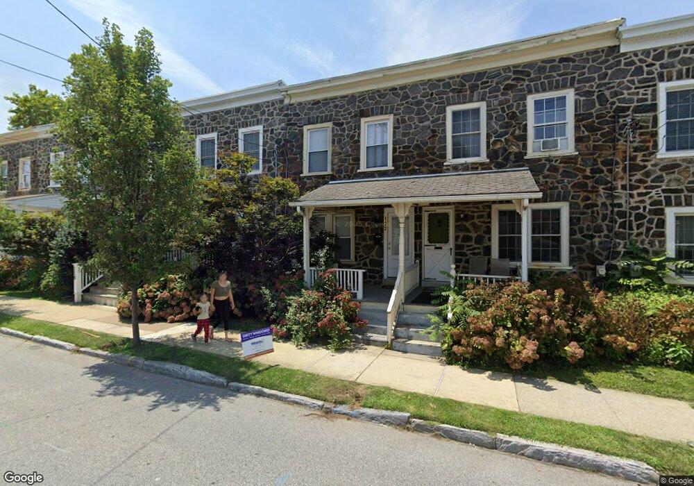
122 N Wayne St West Chester, PA 19380
Estimated Value: $340,784 - $538,000
3
Beds
1
Bath
1,020
Sq Ft
$421/Sq Ft
Est. Value
About This Home
This home is located at 122 N Wayne St, West Chester, PA 19380 and is currently estimated at $428,946, approximately $420 per square foot. 122 N Wayne St is a home located in Chester County with nearby schools including Hillsdale Elementary School, Stetson Middle School, and Bayard Rustin High School.
Ownership History
Date
Name
Owned For
Owner Type
Purchase Details
Closed on
Oct 8, 2019
Sold by
Clair Matthew W
Bought by
Clair Helene
Current Estimated Value
Purchase Details
Closed on
Jun 22, 2006
Sold by
L G Properties
Bought by
Clair Matthew M
Home Financials for this Owner
Home Financials are based on the most recent Mortgage that was taken out on this home.
Original Mortgage
$154,375
Outstanding Balance
$91,267
Interest Rate
6.67%
Mortgage Type
Purchase Money Mortgage
Estimated Equity
$337,679
Create a Home Valuation Report for This Property
The Home Valuation Report is an in-depth analysis detailing your home's value as well as a comparison with similar homes in the area
Home Values in the Area
Average Home Value in this Area
Purchase History
| Date | Buyer | Sale Price | Title Company |
|---|---|---|---|
| Clair Helene | -- | None Available | |
| Clair Matthew M | $162,500 | None Available |
Source: Public Records
Mortgage History
| Date | Status | Borrower | Loan Amount |
|---|---|---|---|
| Open | Clair Matthew M | $154,375 |
Source: Public Records
Tax History Compared to Growth
Tax History
| Year | Tax Paid | Tax Assessment Tax Assessment Total Assessment is a certain percentage of the fair market value that is determined by local assessors to be the total taxable value of land and additions on the property. | Land | Improvement |
|---|---|---|---|---|
| 2025 | $2,590 | $73,830 | $21,620 | $52,210 |
| 2024 | $2,590 | $73,830 | $21,620 | $52,210 |
| 2023 | $2,561 | $73,830 | $21,620 | $52,210 |
| 2022 | $2,533 | $73,830 | $21,620 | $52,210 |
| 2021 | $2,482 | $73,830 | $21,620 | $52,210 |
| 2020 | $2,436 | $73,830 | $21,620 | $52,210 |
| 2019 | $2,407 | $73,830 | $21,620 | $52,210 |
| 2018 | $2,364 | $73,830 | $21,620 | $52,210 |
| 2017 | $2,320 | $73,830 | $21,620 | $52,210 |
| 2016 | $1,648 | $73,830 | $21,620 | $52,210 |
| 2015 | $1,648 | $73,830 | $21,620 | $52,210 |
| 2014 | $1,648 | $73,830 | $21,620 | $52,210 |
Source: Public Records
Map
Nearby Homes
- 418 Hannum Ave
- 433 W Gay St
- 443 W Gay St
- 506 Raymond Dr Unit 4
- 333 Hannum Ave
- 525 Raymond Dr Unit 45
- 523 Raymond Dr Unit 46
- 303 W Washington St
- 616 W Chestnut St
- 19 S New St
- 401 W Barnard St
- 505 S Maryland Ave
- 324 Star Tavern Ln
- 345 Star Tavern Ln
- 303 Star Tavern Ln
- 368 Star Tavern Ln
- 314 Mayfield Ave
- 722 Scotch Way Unit C-26
- 235 Dean St
- 110 S High St
- 124 N Wayne St
- 126 N Wayne St
- 120 N Wayne St
- 128 N Wayne St
- 118 N Wayne St
- 130 N Wayne St
- 116 N Wayne St
- 132 N Wayne St
- 406 W Chestnut St
- 114 N Wayne St
- 408 W Chestnut St
- 404 Hannum Ave
- 404 Hannum Ave Unit 406 A
- 410 W Chestnut St
- 109 N Wayne St
- 112 N Wayne St
- 400 Hannum Ave
- 352 Hannum Ave
- 412 W Chestnut St
- 110 N Wayne St