122 Paxton Rd Holden, MA 01520
Estimated Value: $1,244,000 - $1,488,000
4
Beds
3
Baths
4,488
Sq Ft
$297/Sq Ft
Est. Value
About This Home
This home is located at 122 Paxton Rd, Holden, MA 01520 and is currently estimated at $1,335,048, approximately $297 per square foot. 122 Paxton Rd is a home located in Worcester County with nearby schools including Wachusett Regional High School and Holden Christian Academy.
Ownership History
Date
Name
Owned For
Owner Type
Purchase Details
Closed on
Jul 18, 2007
Sold by
Cogswell Jeffrey A
Bought by
Flotte Kye A and Flotte Terence R
Current Estimated Value
Home Financials for this Owner
Home Financials are based on the most recent Mortgage that was taken out on this home.
Original Mortgage
$700,000
Interest Rate
6.54%
Mortgage Type
Purchase Money Mortgage
Purchase Details
Closed on
May 21, 1998
Sold by
Troiano John S and Troiano Elizabeth A
Bought by
Cogswell Jeffrey A
Create a Home Valuation Report for This Property
The Home Valuation Report is an in-depth analysis detailing your home's value as well as a comparison with similar homes in the area
Home Values in the Area
Average Home Value in this Area
Purchase History
| Date | Buyer | Sale Price | Title Company |
|---|---|---|---|
| Flotte Kye A | $900,000 | -- | |
| Cogswell Jeffrey A | $300,000 | -- |
Source: Public Records
Mortgage History
| Date | Status | Borrower | Loan Amount |
|---|---|---|---|
| Open | Cogswell Jeffrey A | $672,000 | |
| Closed | Cogswell Jeffrey A | $694,000 | |
| Closed | Flotte Kye A | $700,000 |
Source: Public Records
Tax History Compared to Growth
Tax History
| Year | Tax Paid | Tax Assessment Tax Assessment Total Assessment is a certain percentage of the fair market value that is determined by local assessors to be the total taxable value of land and additions on the property. | Land | Improvement |
|---|---|---|---|---|
| 2025 | $15,712 | $1,133,600 | $284,800 | $848,800 |
| 2024 | $16,841 | $1,190,200 | $279,600 | $910,600 |
| 2023 | $16,036 | $1,069,800 | $242,200 | $827,600 |
| 2022 | $15,676 | $946,600 | $208,400 | $738,200 |
| 2021 | $15,578 | $895,300 | $202,600 | $692,700 |
| 2020 | $15,244 | $896,700 | $197,400 | $699,300 |
| 2019 | $14,850 | $851,000 | $197,400 | $653,600 |
| 2018 | $15,278 | $867,600 | $192,100 | $675,500 |
| 2017 | $14,623 | $831,300 | $192,100 | $639,200 |
| 2016 | $13,631 | $790,200 | $187,200 | $603,000 |
| 2015 | $13,793 | $761,200 | $187,200 | $574,000 |
| 2014 | $13,511 | $761,200 | $187,200 | $574,000 |
Source: Public Records
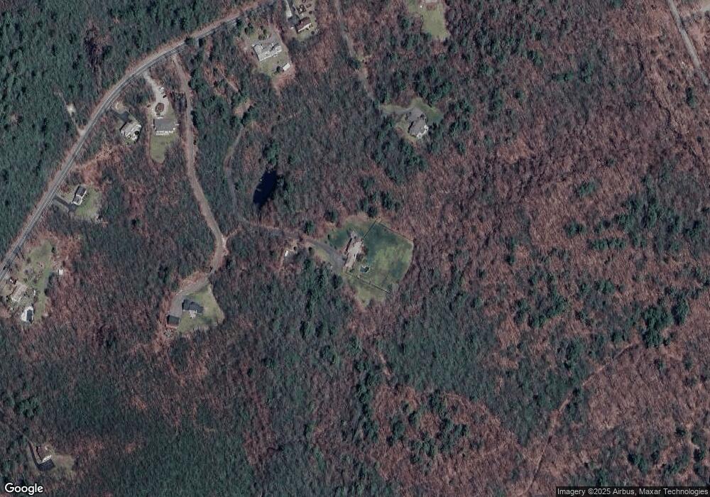
Map
Nearby Homes
- 217 Grove St
- 460 Reservoir St
- 105 Mixter Rd
- 35 Chapin Rd
- 0 Chapin Rd
- 289 Richards Ave
- 17 Crowningshield Dr
- 32 West St
- 64 Britney Dr
- 100 Avery Heights Dr
- 26 Avery Heights Dr
- 218 Reservoir St Unit 106
- 44 Camp St
- 267 Pleasant St
- 10 Sumac Cir
- 54 Putnam Ln
- 34 Putnam Ln
- 39 Sunnyside Ave
- 288 Fisher Rd
- 6 Cutler Rd
- 84 Paxton Rd
- 140 Paxton Rd
- 106 Paxton Rd
- 162 Paxton Rd
- 180 Paxton Rd
- 60 Paxton Rd
- Lot D Paxton Rd
- 48 Paxton Rd
- 210 Paxton Rd
- 36 Paxton Rd
- 238 Paxton Rd
- 20 Paxton Rd
- 507 South Rd Unit 7
- 248 Paxton Rd
- 508 South Rd Unit 8
- 504 Scott Terrace Unit 504
- 460 South Rd
- 264 Paxton Rd
- 3 Paxton Rd
- 3 Lot 3 Paxton Rd