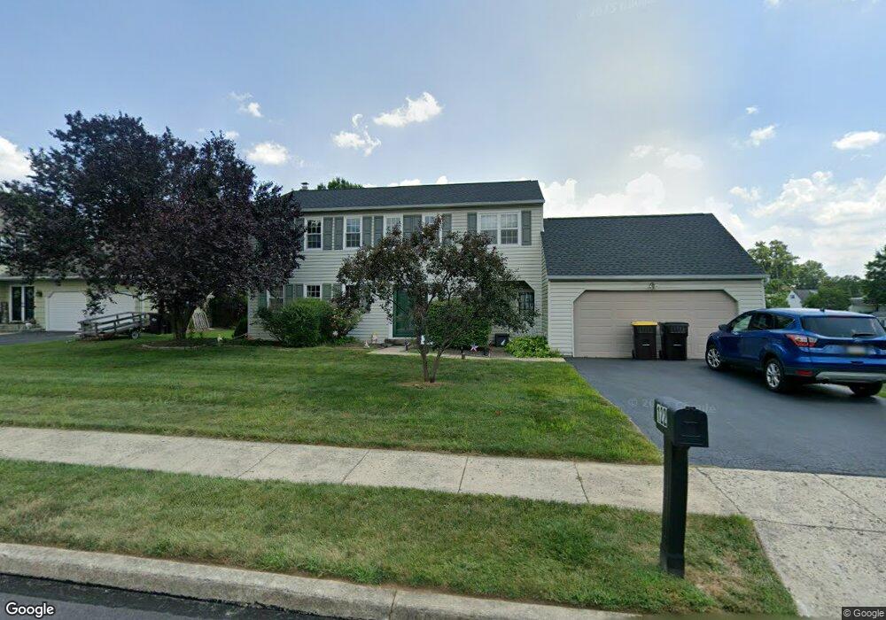
122 Plowshare Rd Norristown, PA 19403
West Norriton Township NeighborhoodEstimated Value: $529,528 - $584,000
4
Beds
3
Baths
2,296
Sq Ft
$241/Sq Ft
Est. Value
About This Home
This home is located at 122 Plowshare Rd, Norristown, PA 19403 and is currently estimated at $554,382, approximately $241 per square foot. 122 Plowshare Rd is a home located in Montgomery County with nearby schools including Charles Blockson Middle School, Whitehall Elementary School, and East Norriton Middle School.
Ownership History
Date
Name
Owned For
Owner Type
Purchase Details
Closed on
Jun 21, 2010
Sold by
Mccann Patricia A and Mc Cann Dennis P
Bought by
Mottolo Ralph S and Mottolo Mary Ellen
Current Estimated Value
Home Financials for this Owner
Home Financials are based on the most recent Mortgage that was taken out on this home.
Original Mortgage
$289,800
Outstanding Balance
$193,365
Interest Rate
4.88%
Estimated Equity
$361,017
Create a Home Valuation Report for This Property
The Home Valuation Report is an in-depth analysis detailing your home's value as well as a comparison with similar homes in the area
Home Values in the Area
Average Home Value in this Area
Purchase History
| Date | Buyer | Sale Price | Title Company |
|---|---|---|---|
| Mottolo Ralph S | $322,000 | None Available |
Source: Public Records
Mortgage History
| Date | Status | Borrower | Loan Amount |
|---|---|---|---|
| Open | Mottolo Ralph S | $289,800 |
Source: Public Records
Tax History Compared to Growth
Tax History
| Year | Tax Paid | Tax Assessment Tax Assessment Total Assessment is a certain percentage of the fair market value that is determined by local assessors to be the total taxable value of land and additions on the property. | Land | Improvement |
|---|---|---|---|---|
| 2025 | $7,817 | $160,010 | $45,870 | $114,140 |
| 2024 | $7,817 | $160,010 | $45,870 | $114,140 |
| 2023 | $7,729 | $160,010 | $45,870 | $114,140 |
| 2022 | $7,679 | $160,010 | $45,870 | $114,140 |
| 2021 | $7,633 | $160,010 | $45,870 | $114,140 |
| 2020 | $7,405 | $160,010 | $45,870 | $114,140 |
| 2019 | $7,239 | $160,010 | $45,870 | $114,140 |
| 2018 | $5,661 | $160,010 | $45,870 | $114,140 |
| 2017 | $6,835 | $160,010 | $45,870 | $114,140 |
| 2016 | $6,772 | $160,010 | $45,870 | $114,140 |
| 2015 | $6,274 | $160,010 | $45,870 | $114,140 |
| 2014 | $6,274 | $160,010 | $45,870 | $114,140 |
Source: Public Records
Map
Nearby Homes
- 2020 Davis Dr
- 136 Markley Farm Cir
- 2020 Sterigere St
- 2055 W Marshall St
- 32 Miami Rd
- 37 Burnside Ave
- 1905 Davis Dr
- 68 Jefferson Ave
- 00 Arden Dr Unit METHACTON SCHOOL
- 1104 Arden Dr Unit METHACTON SCHOOL
- 709 Middleton Place
- 304 Middleton Place
- 1613 Countryside Ln
- 2158 Alexander Dr
- 1749 W Marshall St
- 2504 Rockwood Dr
- 166 Hoover Ave
- 2515 Fieldcrest Ave
- 155 Avondale Rd
- 108 N Prospect Ave
- 126 Plowshare Rd
- 118 Plowshare Rd
- 130 Plowshare Rd
- 114 Plowshare Rd
- 121 Burnside Ave
- 117 Burnside Ave
- 125 Burnside Ave
- 113 Burnside Ave
- 134 Plowshare Rd
- 110 Plowshare Rd
- 129 Plowshare Rd
- 129 Burnside Ave
- 125 Plowshare Rd
- 121 Plowshare Rd
- 109 Burnside Ave
- 117 Plowshare Rd
- 106 Plowshare Rd
- 133 Burnside Ave
- 138 Plowshare Rd
- 113 Plowshare Rd