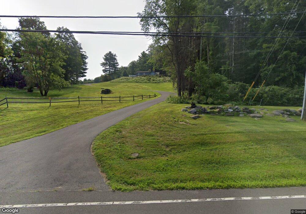
122 Point of Rock Rd Falls Village, CT 06031
Estimated Value: $867,870 - $978,000
3
Beds
3
Baths
2,411
Sq Ft
$378/Sq Ft
Est. Value
About This Home
This home is located at 122 Point of Rock Rd, Falls Village, CT 06031 and is currently estimated at $910,968, approximately $377 per square foot. 122 Point of Rock Rd is a home located in Litchfield County with nearby schools including Lee H. Kellogg School and Housatonic Valley Regional High School.
Ownership History
Date
Name
Owned For
Owner Type
Purchase Details
Closed on
May 29, 2013
Sold by
Elling George
Bought by
Elling George
Current Estimated Value
Purchase Details
Closed on
Nov 29, 2004
Sold by
Curtis Hugh D and Curtis Michelle R
Bought by
Elling George F and Elling Mary M
Create a Home Valuation Report for This Property
The Home Valuation Report is an in-depth analysis detailing your home's value as well as a comparison with similar homes in the area
Home Values in the Area
Average Home Value in this Area
Purchase History
| Date | Buyer | Sale Price | Title Company |
|---|---|---|---|
| Elling George | -- | -- | |
| Elling George F | $362,000 | -- |
Source: Public Records
Mortgage History
| Date | Status | Borrower | Loan Amount |
|---|---|---|---|
| Previous Owner | Elling George F | $135,000 | |
| Previous Owner | Elling George F | $15,000 | |
| Previous Owner | Elling George F | $115,000 |
Source: Public Records
Tax History Compared to Growth
Tax History
| Year | Tax Paid | Tax Assessment Tax Assessment Total Assessment is a certain percentage of the fair market value that is determined by local assessors to be the total taxable value of land and additions on the property. | Land | Improvement |
|---|---|---|---|---|
| 2025 | $10,385 | $462,800 | $84,500 | $378,300 |
| 2024 | $10,182 | $462,800 | $84,500 | $378,300 |
| 2023 | $9,719 | $462,800 | $84,500 | $378,300 |
| 2022 | $8,507 | $331,000 | $93,300 | $237,700 |
| 2021 | $8,507 | $331,000 | $93,300 | $237,700 |
| 2020 | $8,507 | $331,000 | $93,300 | $237,700 |
| 2019 | $8,143 | $331,000 | $93,300 | $237,700 |
| 2018 | $7,911 | $331,000 | $93,300 | $237,700 |
| 2017 | $8,306 | $332,900 | $125,500 | $207,400 |
| 2016 | $7,990 | $332,900 | $125,500 | $207,400 |
| 2015 | $7,823 | $332,900 | $125,500 | $207,400 |
| 2014 | $7,573 | $332,900 | $125,500 | $207,400 |
Source: Public Records
Map
Nearby Homes
- 163 Dublin Rd
- 77 Main St
- 62 Railroad St
- 36 Kellogg Rd
- 89 Route 7 S
- 198-4 Beebe Hill Rd
- 198-1 Beebe Hill Rd
- 198-3 Beebe Hill Rd
- 198-2 Beebe Hill Rd
- 16 Route 63
- 68 Johnson Rd
- 354 Route 7 N
- 278 and 282 Farnum Rd
- 471 Lime Rock Rd
- 89 Under Mountain Rd
- 294 Lime Rock Rd
- 28 White Hollow Rd
- 406 Wells Hill Rd
- 37 Lower Barrack Rd
- 323 Wells Hill Rd
- 112 Sand Rd
- 116 Point of Rock Rd
- 98 Point of Rock Rd
- 107 Point of Rock Rd
- 154 Point of Rock Rd
- 36 Dublin Rd
- 87 Point of Rock Rd
- 30 Dublin Rd
- 48 Dublin Rd
- 43 Dublin Rd
- 40 Dublin Rd
- 65 Point of Rock Rd
- 52 Dublin Rd
- 63 Dublin Rd
- 18 Brewster Rd
- 62 Dublin Rd
- 73 Dublin Rd
- 68 Dublin Rd
- 0 Point of Rocks Rd
- 51 Point of Rock Rd