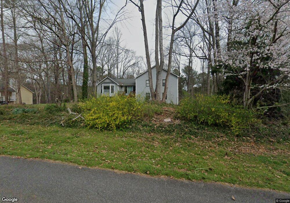
122 Port Victoria Way Unit 1 Woodstock, GA 30189
Sutallee NeighborhoodEstimated Value: $436,935 - $466,000
4
Beds
3
Baths
2,496
Sq Ft
$183/Sq Ft
Est. Value
About This Home
This home is located at 122 Port Victoria Way Unit 1, Woodstock, GA 30189 and is currently estimated at $456,984, approximately $183 per square foot. 122 Port Victoria Way Unit 1 is a home located in Cherokee County with nearby schools including Boston Elementary School, E. T. Booth Middle School, and Etowah High School.
Ownership History
Date
Name
Owned For
Owner Type
Purchase Details
Closed on
May 20, 2009
Sold by
Wardrip Richard A and Wardrip Mary A
Bought by
Wardrip Richard A and Wardrip Linda M
Current Estimated Value
Home Financials for this Owner
Home Financials are based on the most recent Mortgage that was taken out on this home.
Original Mortgage
$90,000
Interest Rate
4.89%
Mortgage Type
New Conventional
Purchase Details
Closed on
Aug 31, 1993
Sold by
Snipes Kenneth J
Bought by
Wardrip Richard A
Home Financials for this Owner
Home Financials are based on the most recent Mortgage that was taken out on this home.
Original Mortgage
$92,050
Interest Rate
7.24%
Mortgage Type
FHA
Create a Home Valuation Report for This Property
The Home Valuation Report is an in-depth analysis detailing your home's value as well as a comparison with similar homes in the area
Home Values in the Area
Average Home Value in this Area
Purchase History
| Date | Buyer | Sale Price | Title Company |
|---|---|---|---|
| Wardrip Richard A | -- | -- | |
| Wardrip Richard A | $93,500 | -- |
Source: Public Records
Mortgage History
| Date | Status | Borrower | Loan Amount |
|---|---|---|---|
| Closed | Wardrip Richard A | $90,000 | |
| Previous Owner | Wardrip Richard A | $92,050 |
Source: Public Records
Tax History Compared to Growth
Tax History
| Year | Tax Paid | Tax Assessment Tax Assessment Total Assessment is a certain percentage of the fair market value that is determined by local assessors to be the total taxable value of land and additions on the property. | Land | Improvement |
|---|---|---|---|---|
| 2025 | $589 | $177,252 | $34,000 | $143,252 |
| 2024 | $820 | $160,572 | $29,200 | $131,372 |
| 2023 | $893 | $169,372 | $29,200 | $140,172 |
| 2022 | $761 | $129,812 | $26,000 | $103,812 |
| 2021 | $731 | $104,572 | $19,480 | $85,092 |
| 2020 | $697 | $94,732 | $17,400 | $77,332 |
| 2019 | $645 | $81,000 | $15,000 | $66,000 |
| 2018 | $642 | $76,880 | $13,600 | $63,280 |
| 2017 | $2,119 | $192,600 | $13,600 | $63,440 |
| 2016 | $2,048 | $182,900 | $11,760 | $61,400 |
| 2015 | $1,848 | $162,900 | $11,760 | $53,400 |
| 2014 | $1,601 | $141,600 | $11,760 | $44,880 |
Source: Public Records
Map
Nearby Homes
- 315 Pinewood Dr
- 617 Driftwood Dr
- 442 Colonial Walk
- 313 Maltibe Dr
- 146 Sunset Ln
- 373 N Victoria Rd
- 7119 Big Woods Dr
- 386 N Victoria Rd
- 507 Huntgate Rd
- 522 Huntgate Rd Unit 4
- 1413 Reed Ln
- 627 Apache Trail
- 1028 Deer Hollow Dr
- 1508 Towne Harbor Ln
- 745 Cedar Creek Way Unit 1
- 1511 Harbor Watch Ct
- 819 Victoria Place
- 1029 Chatsworth Ln
- 1001 Deer Hollow Dr
- 104 Rose Cottage Ln Unit 65
- 120 Port Victoria Way
- 124 Port Victoria Way
- 117 Port Victoria Way
- 118 Port Victoria Way
- 322 Mariner Cir Unit 1
- 0/0 Mariner Cir
- 0 Mariner Cir Unit 6680210
- 0 Mariner Cir Unit Lot 5 8735723
- 318 Mariner Cir Unit 1
- 113 Port Victoria Way Unit 1
- 413 Harbor Way Unit 1
- 411 Harbor Way
- 116 Port Victoria Way Unit 1
- 324 Mariner Cir
- 409 Harbor Way
- 331 Mariner Cir
- 316 Mariner Cir
- 501 Windward Way Unit 1
- 312 Mariner Cir
- 314 Mariner Cir Unit 2