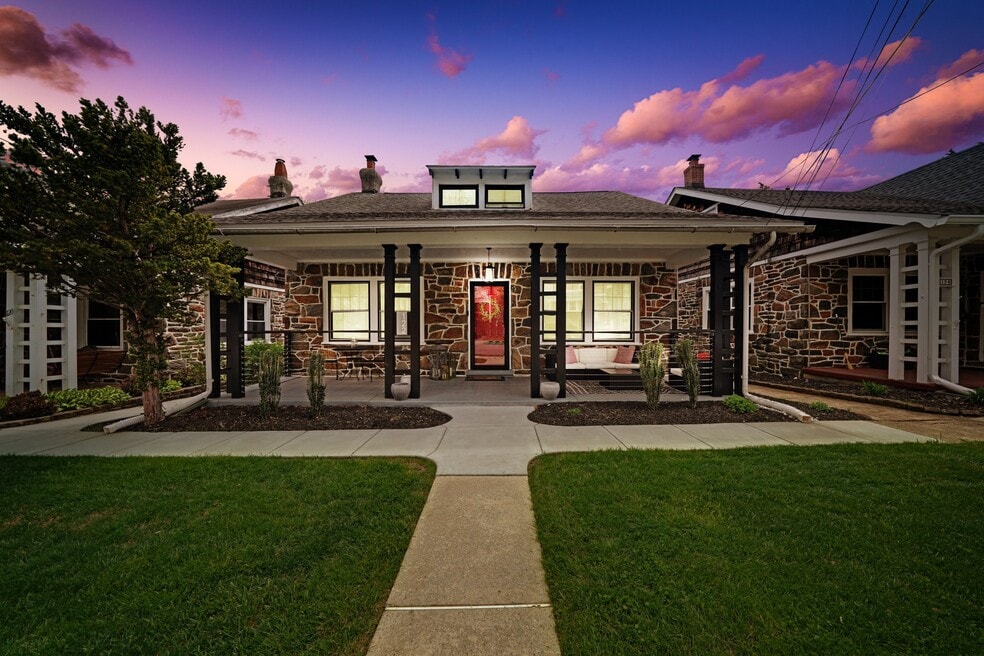


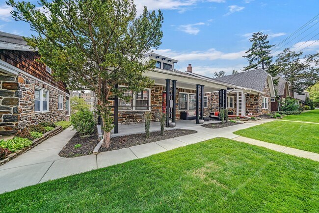
122 Price St Unit 1 West Chester, PA 19382
3
Beds
2
Baths
1,650
Sq Ft
6,752
Sq Ft Lot
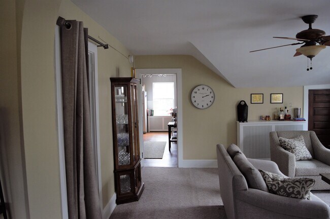
About This Home
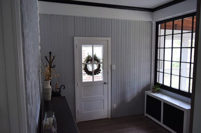
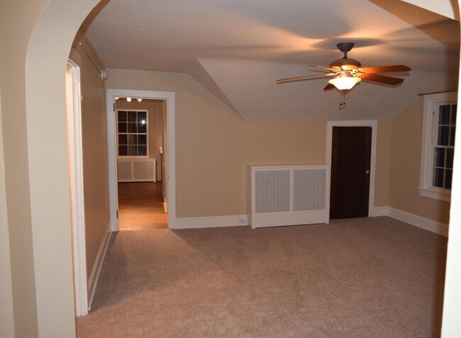
Location, location, location! Welcome to this spacious 1 bed 1 bath on Price st. with a cozy nook for an office or whatever your heart desires! Newly upgraded Granite countertops, washer/dryer in-unit, and a shared back porch and HUGE yard! This won't last long...it never does.
Reach out today to schedule your spot on a tour that occurs 2x per week... Wednesday's at 5pm and Saturday at 2pm.
Listing Provided By

Map
Nearby Homes
- 116 Price St
- 408 S Church St
- 615-617 S Walnut St
- 110 S High St
- 305 S Walnut St
- 615 S Walnut St
- 305 S Matlack St
- 113 E Miner St
- 110 S Matlack St
- 145 E Miner St
- 635 S Matlack St
- 738 S Matlack St
- 538 S Adams St
- 737 S Matlack St
- 335 S Adams St
- 749 S Matlack St
- 233 E Market St
- 342 E Barnard St
- 333 Hannum Ave
- 344 E Barnard St
- 122 Price St
- 113 Dean St Unit 2
- 164 Justin Dr
- 308 S Church St Unit 4
- 305 S Walnut St Unit 3
- 240 W Miner St
- 337 W Union St Unit 5
- 537 S Walnut St
- 129 W Miner St Unit 2
- 14 S Church St
- 131 E Union St
- 133 E Nields St
- 19 S New St Unit 2
- 19 S New St Unit 1
- 301 S Matlack St Unit A - 1st Floor
- 123 S Matlack St
- 124 E Market St
- 206 W Gay St Unit 1
- 29 W Gay St Unit 3
- 37 W Gay St Unit 3RD FL