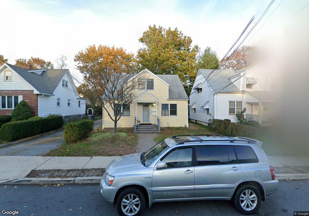
122 Rowland Ave Clifton, NJ 07012
Athenia NeighborhoodEstimated Value: $507,000 - $678,000
--
Bed
--
Bath
1,596
Sq Ft
$384/Sq Ft
Est. Value
About This Home
This home is located at 122 Rowland Ave, Clifton, NJ 07012 and is currently estimated at $612,907, approximately $384 per square foot. 122 Rowland Ave is a home located in Passaic County with nearby schools including Clifton High School, Ybh Of Passaic-Hillel, and Collegiate School.
Ownership History
Date
Name
Owned For
Owner Type
Purchase Details
Closed on
May 23, 2018
Sold by
Zapotosky Robert and Zapotosky Janis
Bought by
Jakubiszen Mirtha
Current Estimated Value
Purchase Details
Closed on
Jul 12, 2001
Sold by
Ryan Joanne
Bought by
Zapotosky Raymond and Zapotosky Robert
Home Financials for this Owner
Home Financials are based on the most recent Mortgage that was taken out on this home.
Original Mortgage
$70,000
Interest Rate
7.06%
Create a Home Valuation Report for This Property
The Home Valuation Report is an in-depth analysis detailing your home's value as well as a comparison with similar homes in the area
Home Values in the Area
Average Home Value in this Area
Purchase History
| Date | Buyer | Sale Price | Title Company |
|---|---|---|---|
| Jakubiszen Mirtha | $270,000 | Passaic Valley Title Service | |
| Zapotosky Raymond | $47,000 | -- | |
| Zapotosky Raymond | $47,000 | -- |
Source: Public Records
Mortgage History
| Date | Status | Borrower | Loan Amount |
|---|---|---|---|
| Previous Owner | Zapotosky Raymond | $70,000 |
Source: Public Records
Tax History Compared to Growth
Tax History
| Year | Tax Paid | Tax Assessment Tax Assessment Total Assessment is a certain percentage of the fair market value that is determined by local assessors to be the total taxable value of land and additions on the property. | Land | Improvement |
|---|---|---|---|---|
| 2025 | $10,293 | $173,400 | $87,400 | $86,000 |
| 2024 | $10,047 | $173,400 | $87,400 | $86,000 |
| 2022 | $9,901 | $173,400 | $87,400 | $86,000 |
| 2021 | $9,494 | $173,400 | $87,400 | $86,000 |
| 2020 | $9,525 | $173,400 | $87,400 | $86,000 |
| 2019 | $9,457 | $173,400 | $87,400 | $86,000 |
| 2018 | $9,403 | $173,400 | $87,400 | $86,000 |
| 2017 | $9,301 | $173,400 | $87,400 | $86,000 |
| 2016 | $9,121 | $173,400 | $87,400 | $86,000 |
| 2015 | $9,032 | $173,400 | $87,400 | $86,000 |
| 2014 | $8,847 | $173,400 | $87,400 | $86,000 |
Source: Public Records
Map
Nearby Homes
- 138 Scoles Ave
- 136 Martin Ave
- 65 Martin Ave
- 76 Scoles Ave
- 64 Rowland Ave
- 40 Scoles Ave
- 35 Dawson Ave
- 80 Major St
- 9 Century Place
- 8 Hampton Rd
- 26 Major St
- 56 Collura Ln
- 56 Collura Ln Unit I067
- 2 Forest Ct
- 55 Heights Rd
- 25 Mayer Dr Unit 121
- 23 Mcclelland Way
- 189 Mineral Spring Ave
- 73 Spencer Ave
- 473 Broadway
- 124 Rowland Ave
- 118 Rowland Ave
- 112 Rowland Ave
- 130 Rowland Ave
- 115 Martin Ave
- 119 Martin Ave
- 109 Rowland Ave
- 111 Martin Ave
- 123 Martin Ave
- 107 Martin Ave
- 110 Rowland Ave
- 125 Rowland Ave
- 125 Rowland Ave Unit 1
- 119 Rowland Ave
- 127 Martin Ave
- 115 Rowland Ave
- 132 Rowland Ave
- 127 Rowland Ave
- 103 Martin Ave
- 111 Rowland Ave