122 Rugg Brook Rd Winsted, CT 06098
Estimated Value: $296,000 - $679,000
3
Beds
2
Baths
2,211
Sq Ft
$241/Sq Ft
Est. Value
About This Home
This home is located at 122 Rugg Brook Rd, Winsted, CT 06098 and is currently estimated at $532,375, approximately $240 per square foot. 122 Rugg Brook Rd is a home located in Litchfield County.
Ownership History
Date
Name
Owned For
Owner Type
Purchase Details
Closed on
Sep 16, 2013
Sold by
Anderson Richard N and Howard Elsie M
Bought by
Girolamo Michael J and Girolamo Kristina M
Current Estimated Value
Home Financials for this Owner
Home Financials are based on the most recent Mortgage that was taken out on this home.
Original Mortgage
$150,000
Outstanding Balance
$111,727
Interest Rate
4.43%
Estimated Equity
$420,648
Purchase Details
Closed on
Jun 15, 2000
Sold by
Eve Coop and Eve Relief
Bought by
Anderson Richard and Howard Elsie M
Purchase Details
Closed on
Jun 13, 2000
Sold by
Eve Coop and Eve Relief
Bought by
10 Titus Llc
Purchase Details
Closed on
Jun 12, 2000
Sold by
Eve Coop and Eve Relief
Bought by
10 Titus Llc
Purchase Details
Closed on
Dec 30, 1999
Sold by
Crosby-Sussman E
Bought by
Co-Op Asstnc & Relief Ev
Create a Home Valuation Report for This Property
The Home Valuation Report is an in-depth analysis detailing your home's value as well as a comparison with similar homes in the area
Home Values in the Area
Average Home Value in this Area
Purchase History
| Date | Buyer | Sale Price | Title Company |
|---|---|---|---|
| Girolamo Michael J | $315,000 | -- | |
| Girolamo Michael J | $315,000 | -- | |
| Anderson Richard | $220,000 | -- | |
| Anderson Richard | $220,000 | -- | |
| 10 Titus Llc | $60,000 | -- | |
| 10 Titus Llc | $60,000 | -- | |
| 10 Titus Llc | $105,000 | -- | |
| 10 Titus Llc | $105,000 | -- | |
| Co-Op Asstnc & Relief Ev | $397,000 | -- | |
| Co-Op Asstnc & Relief Ev | $397,000 | -- |
Source: Public Records
Mortgage History
| Date | Status | Borrower | Loan Amount |
|---|---|---|---|
| Open | Girolamo Michael J | $150,000 | |
| Closed | Co-Op Asstnc & Relief Ev | $150,000 | |
| Previous Owner | Co-Op Asstnc & Relief Ev | $50,000 |
Source: Public Records
Tax History Compared to Growth
Tax History
| Year | Tax Paid | Tax Assessment Tax Assessment Total Assessment is a certain percentage of the fair market value that is determined by local assessors to be the total taxable value of land and additions on the property. | Land | Improvement |
|---|---|---|---|---|
| 2025 | $7,302 | $250,320 | $77,420 | $172,900 |
| 2024 | $6,819 | $250,320 | $77,420 | $172,900 |
| 2023 | $6,606 | $250,320 | $77,420 | $172,900 |
| 2022 | $6,313 | $188,230 | $63,840 | $124,390 |
| 2021 | $5,860 | $174,720 | $50,330 | $124,390 |
| 2020 | $5,860 | $174,720 | $50,330 | $124,390 |
| 2019 | $5,860 | $174,720 | $50,330 | $124,390 |
| 2018 | $6,313 | $188,230 | $63,840 | $124,390 |
| 2017 | $6,017 | $179,410 | $62,650 | $116,760 |
| 2016 | $6,017 | $179,410 | $62,650 | $116,760 |
| 2015 | $5,867 | $179,410 | $62,650 | $116,760 |
| 2014 | $5,725 | $179,410 | $62,650 | $116,760 |
Source: Public Records
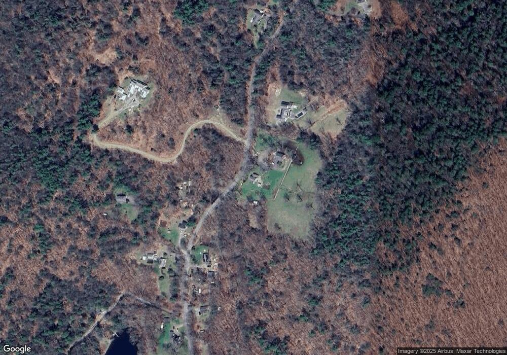
Map
Nearby Homes
- 393 Winchester Rd
- 00 Chapel Rd
- 000000 Norfolk Rd
- 119 W Wakefield Blvd
- 431 W Wakefield Blvd
- 440 Platt Hill Rd
- 148 Danbury Quarter Rd
- 117 South Rd
- 32 Norfolk Rd
- 156 Lincoln Ave
- 73 Norfolk Rd
- 77 Hubbard St
- 99 Hubbard St
- 843-845 (lots - 10A, E Wakefield Blvd
- 605 E Wakefield Blvd
- 9 John St
- 118 Meadow St
- 256 Colebrook Rd
- 841 Winchester Rd
- 469 Platt Hill Rd
- 122 Rugg Brook Rd
- 128 Rugg Brook Rd
- 118 Rugg Brook Rd
- 119 Rugg Brook Rd
- 119R Rugg Brook Rd
- 114 Rugg Brook Rd
- 117 Rugg Brook Rd
- 113 Rugg Brook Rd
- 116 Rugg Brook Rd
- 127 Rugg Brook Rd
- 18 Griswold Ln
- 111 Rugg Brook Rd
- 135 Rugg Brook Rd
- 143 Rugg Brook Rd
- 110 Rugg Brook Rd
- 138 Rugg Brook Rd
- 148 Rugg Brook Rd
- 19 Griswold Ln
- 150 Rugg Brook Rd
- 108 Rugg Brook Rd