122 Safro Ct Pocono Lake, PA 18347
Estimated Value: $364,000 - $479,000
3
Beds
2
Baths
2,136
Sq Ft
$195/Sq Ft
Est. Value
About This Home
This home is located at 122 Safro Ct, Pocono Lake, PA 18347 and is currently estimated at $415,945, approximately $194 per square foot. 122 Safro Ct is a home with nearby schools including Tobyhanna Elementary Center, Clear Run Intermediate School, and Pocono Mountain West Junior High School.
Ownership History
Date
Name
Owned For
Owner Type
Purchase Details
Closed on
Jul 1, 2008
Sold by
Holahan John J and Holahan Mildredann
Bought by
Russell James D and Russell Barbara A
Current Estimated Value
Purchase Details
Closed on
Oct 26, 2006
Sold by
E & M Realty Lp
Bought by
Russell James D and Russell Barbara A
Purchase Details
Closed on
Aug 6, 2006
Sold by
Ricchetti Richard and Ricchetti Alyssa
Bought by
E & M Realty Lp
Create a Home Valuation Report for This Property
The Home Valuation Report is an in-depth analysis detailing your home's value as well as a comparison with similar homes in the area
Home Values in the Area
Average Home Value in this Area
Purchase History
| Date | Buyer | Sale Price | Title Company |
|---|---|---|---|
| Russell James D | $30,000 | None Available | |
| Russell James D | $24,900 | None Available | |
| E & M Realty Lp | $19,000 | None Available |
Source: Public Records
Tax History Compared to Growth
Tax History
| Year | Tax Paid | Tax Assessment Tax Assessment Total Assessment is a certain percentage of the fair market value that is determined by local assessors to be the total taxable value of land and additions on the property. | Land | Improvement |
|---|---|---|---|---|
| 2025 | $1,726 | $204,800 | $22,000 | $182,800 |
| 2024 | $1,475 | $176,990 | $22,000 | $154,990 |
| 2023 | $4,722 | $176,990 | $22,000 | $154,990 |
| 2022 | $4,637 | $176,990 | $22,000 | $154,990 |
| 2021 | $4,637 | $176,990 | $22,000 | $154,990 |
| 2020 | $1,243 | $176,990 | $22,000 | $154,990 |
| 2019 | $5,653 | $33,000 | $2,930 | $30,070 |
| 2018 | $5,653 | $33,000 | $2,930 | $30,070 |
| 2017 | $5,719 | $33,000 | $2,930 | $30,070 |
| 2016 | $1,221 | $33,000 | $2,930 | $30,070 |
| 2015 | $4,663 | $33,000 | $2,930 | $30,070 |
| 2014 | $4,663 | $33,000 | $2,930 | $30,070 |
Source: Public Records
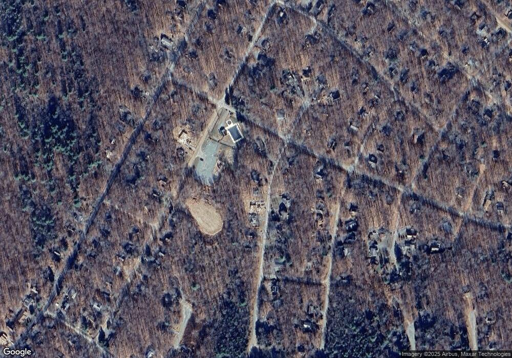
Map
Nearby Homes
- 158 Choctaw Dr
- 537 Maxatawny Dr
- 535 Maxatawny Dr
- 273 Depuy Dr
- 0 Choctaw Dr 1
- 229 Wyomissing Dr
- 301 Maxatawny Dr
- 11 Wyalusing Ct
- 1155 Shasta Dr
- 7148 Winnebago Dr
- 0 Pontiac Path Lot 34
- 202 Choctaw Dr
- 140 Oneida Dr
- 206 Maxatawny Dr
- 7157 Winnebago Dr
- 272 Wyalusing Dr
- 19-2013-20 Winebago Dr 19 Dr
- 19/2013/20 Winebago Dr 19 Dr
- 419 Quaker Ct
- 346 Maxatawny Dr