122 Shady Brooke Cir Unit 101 Saint Simons Island, GA 31522
Estimated Value: $430,000 - $488,000
3
Beds
2
Baths
--
Sq Ft
--
Built
About This Home
This home is located at 122 Shady Brooke Cir Unit 101, Saint Simons Island, GA 31522 and is currently estimated at $457,135. 122 Shady Brooke Cir Unit 101 is a home located in Glynn County with nearby schools including Oglethorpe Point Elementary School, Glynn Middle School, and Glynn Academy.
Ownership History
Date
Name
Owned For
Owner Type
Purchase Details
Closed on
Dec 2, 2024
Sold by
Bennett Deborah M
Bought by
Rozier Nancy T
Current Estimated Value
Purchase Details
Closed on
May 30, 2014
Sold by
Federal National Mortgage Association
Bought by
Bennett Deborah M
Purchase Details
Closed on
Nov 7, 2013
Sold by
Nationstar Mtg Llc
Bought by
Federal National Mtg Associati
Purchase Details
Closed on
Oct 1, 2013
Sold by
Brenner I William
Bought by
Nationstar Mtg Llc
Create a Home Valuation Report for This Property
The Home Valuation Report is an in-depth analysis detailing your home's value as well as a comparison with similar homes in the area
Home Values in the Area
Average Home Value in this Area
Purchase History
| Date | Buyer | Sale Price | Title Company |
|---|---|---|---|
| Rozier Nancy T | $475,000 | -- | |
| Bennett Deborah M | $88,500 | -- | |
| Federal National Mtg Associati | -- | -- | |
| Nationstar Mtg Llc | $213,310 | -- |
Source: Public Records
Tax History Compared to Growth
Tax History
| Year | Tax Paid | Tax Assessment Tax Assessment Total Assessment is a certain percentage of the fair market value that is determined by local assessors to be the total taxable value of land and additions on the property. | Land | Improvement |
|---|---|---|---|---|
| 2025 | $4,203 | $167,600 | $0 | $167,600 |
| 2024 | $3,461 | $138,000 | $0 | $138,000 |
| 2023 | $132 | $138,000 | $0 | $138,000 |
| 2022 | $245 | $116,000 | $0 | $116,000 |
| 2021 | $252 | $106,400 | $0 | $106,400 |
| 2020 | $893 | $89,800 | $0 | $89,800 |
| 2019 | $1,253 | $48,000 | $0 | $48,000 |
| 2018 | $1,253 | $48,000 | $0 | $48,000 |
| 2017 | $924 | $35,400 | $0 | $35,400 |
| 2016 | $850 | $35,400 | $0 | $35,400 |
| 2015 | $1,687 | $35,400 | $0 | $35,400 |
| 2014 | $1,687 | $70,000 | $0 | $70,000 |
Source: Public Records
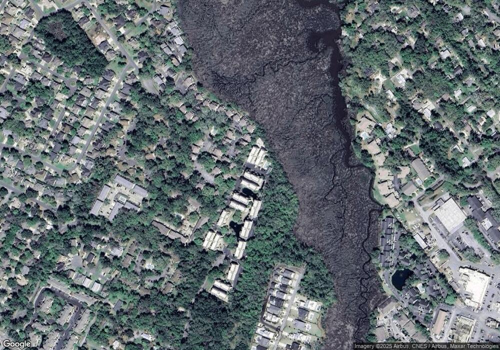
Map
Nearby Homes
- 122 Shady Brook Cir Unit 201
- 116 Shady Brook Cir Unit 201
- 361 Brockinton Marsh
- 222 Walmar Grove
- 99 Brook Dr
- 105 Brook Dr
- 117 Quamley Wells Dr
- 109 Shady Brook Cir Unit 301
- 146 Shady Brook Cir Unit 301
- 150 Shady Brook Cir Unit 201
- 512 Brockinton S
- 101 Barkentine Ct Unit A-1
- 156 Shady Brook Cir Unit 101
- 622 Brockinton Point
- 103 Kingsmarsh Way
- 103 Travellers Way
- 123 Shadow Wood Bend
- 100 Blair Rd Unit C3
- 100 Blair Rd Unit C8
- 100 Blair Rd Unit B6
- 124 Shady Brook Cir Unit 8-2
- 124 Shady Brook Cir Unit 8-3
- 124 Shady Brook Cir Unit 8-4
- 124 Shady Brook Cir Unit 8-1
- 124 Shady Brook Cir Unit 8-6
- 122 Shady Brook Cir Unit 7-1
- 122 Shady Brooke Cir Unit 7-5
- 122 Shady Brooke Cir Unit 7-3
- 122 Shady Brook Cir Unit 301
- 122 Shady Brook Cir Unit 300
- 122 Shady Brook Cir Unit 200
- 122 Shady Brook Cir Unit 101
- 122 Shady Brook Cir Unit 100
- 122 Shady Brooke Cir Unit 7-2
- 122 Shady Brooke Cir Unit 301
- 122 Shady Brook Cir
- 122 Shady Brooke Cir Unit 300
- 156 Shadow Brooke Cir Unit 200
- 126 Shady Brook Cir Unit 9-4
- 126 Shady Brook Cir Unit 9-2