122 Smoke Rise Dr Unit 7 Murphy, NC 28906
Estimated Value: $172,000 - $221,000
2
Beds
2
Baths
504
Sq Ft
$398/Sq Ft
Est. Value
About This Home
This home is located at 122 Smoke Rise Dr Unit 7, Murphy, NC 28906 and is currently estimated at $200,507, approximately $397 per square foot. 122 Smoke Rise Dr Unit 7 is a home located in Cherokee County with nearby schools including Murphy Elementary School, Murphy Middle School, and Murphy High School.
Ownership History
Date
Name
Owned For
Owner Type
Purchase Details
Closed on
Jan 12, 2023
Sold by
Palmer Tracy R
Bought by
Bolcar Steven
Current Estimated Value
Purchase Details
Closed on
May 26, 2022
Sold by
Drew Westmoreland Ethan and Rose Victoria
Bought by
Palmer Tracy R
Purchase Details
Closed on
Jun 25, 2019
Sold by
Arens Kenyon and Arens Danielle
Bought by
Pinkleton Victoria Rose
Home Financials for this Owner
Home Financials are based on the most recent Mortgage that was taken out on this home.
Original Mortgage
$69,600
Interest Rate
4.25%
Mortgage Type
Adjustable Rate Mortgage/ARM
Purchase Details
Closed on
Oct 1, 2003
Bought by
Arens Kenyon R and Arens W
Create a Home Valuation Report for This Property
The Home Valuation Report is an in-depth analysis detailing your home's value as well as a comparison with similar homes in the area
Home Values in the Area
Average Home Value in this Area
Purchase History
| Date | Buyer | Sale Price | Title Company |
|---|---|---|---|
| Bolcar Steven | $189,500 | -- | |
| Palmer Tracy R | $160,000 | Cowan David E | |
| Pinkleton Victoria Rose | $87,000 | None Available | |
| Arens Kenyon R | $86,500 | -- |
Source: Public Records
Mortgage History
| Date | Status | Borrower | Loan Amount |
|---|---|---|---|
| Previous Owner | Pinkleton Victoria Rose | $69,600 |
Source: Public Records
Tax History Compared to Growth
Tax History
| Year | Tax Paid | Tax Assessment Tax Assessment Total Assessment is a certain percentage of the fair market value that is determined by local assessors to be the total taxable value of land and additions on the property. | Land | Improvement |
|---|---|---|---|---|
| 2025 | $831 | $105,150 | $0 | $0 |
| 2024 | $676 | $105,150 | $0 | $0 |
| 2023 | $676 | $85,380 | $0 | $0 |
| 2022 | $99 | $84,800 | $0 | $0 |
| 2021 | $0 | $84,800 | $20,000 | $64,800 |
| 2020 | $0 | $84,800 | $0 | $0 |
| 2019 | $571 | $80,100 | $0 | $0 |
| 2018 | $571 | $80,100 | $0 | $0 |
| 2017 | $571 | $80,100 | $0 | $0 |
| 2016 | $571 | $80,100 | $0 | $0 |
| 2015 | $571 | $80,100 | $25,000 | $55,100 |
| 2012 | -- | $80,100 | $25,000 | $55,100 |
Source: Public Records
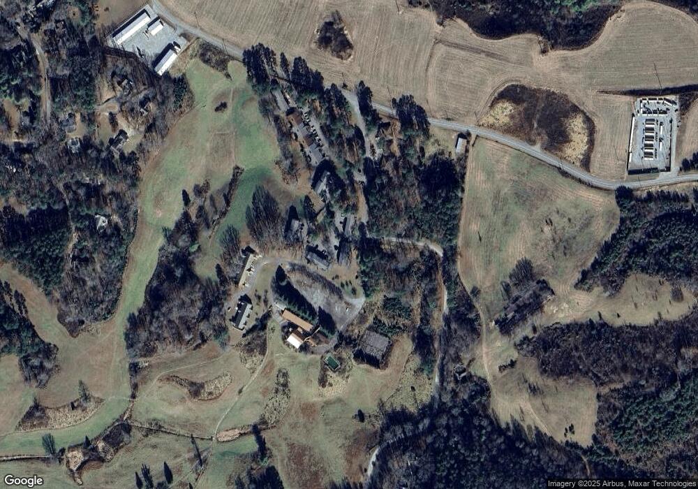
Map
Nearby Homes
- 79 Mashie Ln
- 71 Mountain Laurel Rd
- 414 Mulkey Dr
- 0.54 AC Beaver Ridge Rd
- 164 Beaver Ridge Rd
- 670 Picnic Way
- 909 Golf Course Cir
- 1117 Poor House Mountain Trail
- 00 Choctaw Ridge Trail
- 95 Remington Ln
- 28 Woodberry Ln
- 440 Beaver Ridge Rd
- 259 River Mountain Rd
- 476 Golf Course Cir
- 196 Briarwood Dr
- 75 Vista Cir
- 55 Ridgeline Rd
- Lot 12 Harshaw Farm Dr
- 122 Smoke Rise Dr
- 122 Smoke Rise Dr
- 122 Smoke Rise Dr
- 118 Smoke Rise Dr
- 132 Smoke Rise Dr
- 132 Smoke Rise Dr
- 116 Smoke Rise Dr
- 114 Smoke Rise Dr
- 134 Smoke Rise Dr
- 112 Smoke Rise Dr
- 112 Smoke Rise Dr
- 136 Smoke Rise Dr
- 116 Smoke Rise Cir
- 138 Smoke Rise Dr
- 140 Smoke Rise Dr
- 142 Smoke Rise Dr
- 142 Smoke Rise Dr Unit 6
- 142 Smoke Rise Dr
- 142 Smoke Rise Dr Unit 8
- 102 Smoke Rise Dr