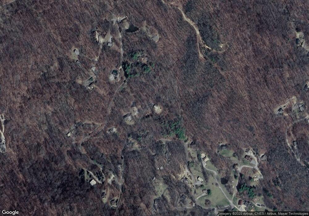
122 Sorghum Dr Waynesville, NC 28785
Estimated Value: $421,525 - $507,000
3
Beds
2
Baths
1,520
Sq Ft
$312/Sq Ft
Est. Value
About This Home
This home is located at 122 Sorghum Dr, Waynesville, NC 28785 and is currently estimated at $474,381, approximately $312 per square foot. 122 Sorghum Dr is a home located in Haywood County with nearby schools including Jonathan Valley Elementary School, Waynesville Middle, and Tuscola High.
Ownership History
Date
Name
Owned For
Owner Type
Purchase Details
Closed on
Mar 11, 2011
Sold by
Mandos William H and Mandos Dahna L
Bought by
Dambeck Maria A
Current Estimated Value
Home Financials for this Owner
Home Financials are based on the most recent Mortgage that was taken out on this home.
Original Mortgage
$146,800
Outstanding Balance
$100,724
Interest Rate
4.76%
Mortgage Type
New Conventional
Estimated Equity
$373,657
Create a Home Valuation Report for This Property
The Home Valuation Report is an in-depth analysis detailing your home's value as well as a comparison with similar homes in the area
Home Values in the Area
Average Home Value in this Area
Purchase History
| Date | Buyer | Sale Price | Title Company |
|---|---|---|---|
| Dambeck Maria A | $183,500 | None Available |
Source: Public Records
Mortgage History
| Date | Status | Borrower | Loan Amount |
|---|---|---|---|
| Open | Dambeck Maria A | $146,800 |
Source: Public Records
Tax History Compared to Growth
Tax History
| Year | Tax Paid | Tax Assessment Tax Assessment Total Assessment is a certain percentage of the fair market value that is determined by local assessors to be the total taxable value of land and additions on the property. | Land | Improvement |
|---|---|---|---|---|
| 2025 | -- | $260,700 | $33,500 | $227,200 |
| 2024 | $1,775 | $260,700 | $33,500 | $227,200 |
| 2023 | $1,775 | $260,700 | $33,500 | $227,200 |
| 2022 | $1,712 | $256,700 | $33,500 | $223,200 |
| 2021 | $1,712 | $256,700 | $33,500 | $223,200 |
| 2020 | $1,396 | $188,800 | $17,900 | $170,900 |
| 2019 | $1,401 | $188,800 | $17,900 | $170,900 |
| 2018 | $1,401 | $188,800 | $17,900 | $170,900 |
| 2017 | $1,401 | $188,800 | $0 | $0 |
| 2016 | $1,443 | $201,100 | $0 | $0 |
| 2015 | $1,443 | $201,100 | $0 | $0 |
| 2014 | $1,321 | $201,100 | $0 | $0 |
Source: Public Records
Map
Nearby Homes
- 150 Sorghum Dr
- 00 Wolverine Ct Unit 48
- 00 Wolverine Ct Unit 45
- 99999 Upward Way Unit 36
- TBD Upward Way Unit 236 & 237
- 99999 Molasses Way Unit 18
- TBD Wolverine Ct Unit 42
- TBD Wolverine Ct Unit 40
- 85 Garnet Spring Ln
- 00 Purple Martin Ln
- 0 Purple Martin Ln Unit 22 CAR4228087
- TBD Live Oak Loop Unit 71
- TBD Live Oak Loop Unit 69
- TBD Live Oak Loop Unit 65
- TBD Live Oak Loop Unit 96/98/100
- TBD Live Oak Loop Unit 67
- TBD Live Oak Loop Unit 28
- TBD Live Oak Loop Unit 64
- 123 Live Oak Loop
- TBD Live Oak Loop Unit 66
- 877 Red Maple Dr
- 18 Sorghum Dr
- 36 Sorghum Dr
- 1182 Red Maple Dr
- 925 Red Maple Dr
- 842 Red Maple Dr
- 1353 Red Maple Dr
- 1312 Red Maple Dr
- 1575 Red Maple Dr
- 1410 Red Maple Dr
- 104 Windfall Ln
- 1018 Red Maple Dr
- 791 Red Maple Dr
- 1048 Red Maple Dr
- 70 Tedder Ln
- Lot 53 Wolverine Ct
- 1566 Red Maple Dr
- 758 Red Maple Dr
- 1171 Red Maple Dr
- 1445 Red Maple Dr
