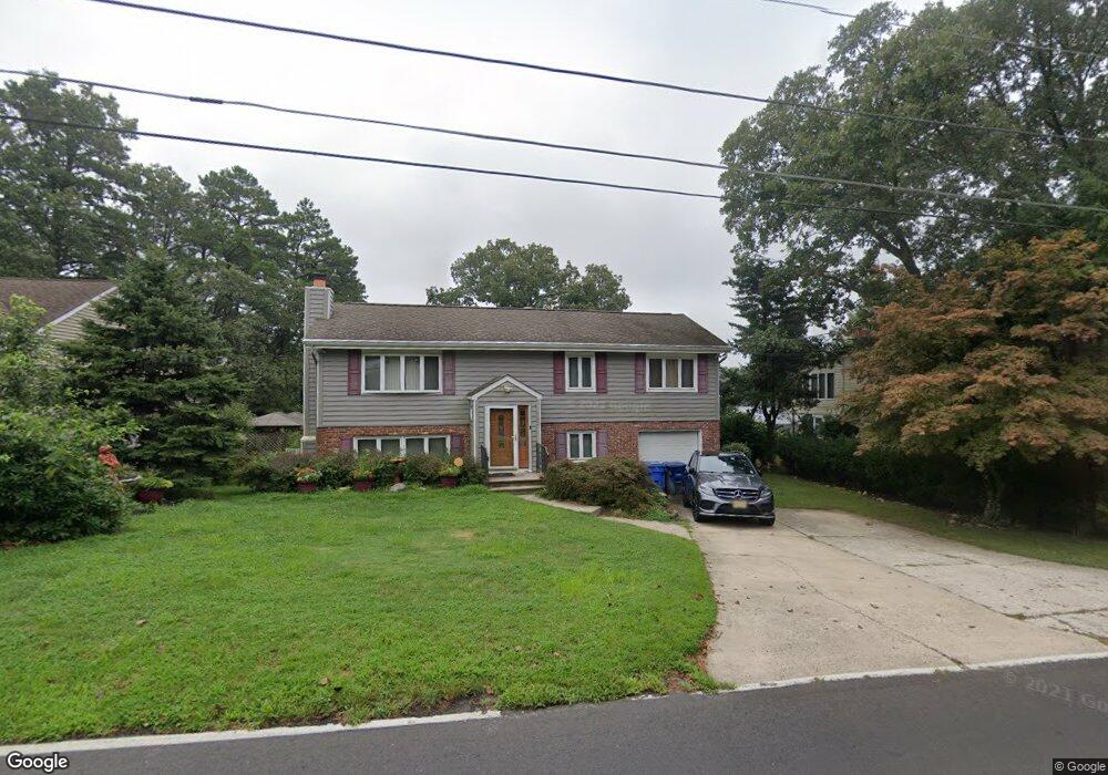
122 Split Rock Rd Browns Mills, NJ 08015
Estimated Value: $395,000 - $497,000
--
Bed
--
Bath
2,508
Sq Ft
$172/Sq Ft
Est. Value
About This Home
This home is located at 122 Split Rock Rd, Browns Mills, NJ 08015 and is currently estimated at $431,192, approximately $171 per square foot. 122 Split Rock Rd is a home located in Burlington County.
Ownership History
Date
Name
Owned For
Owner Type
Purchase Details
Closed on
Mar 14, 2005
Sold by
Turner Dorothy L
Bought by
Turner Anthony and Turner Dorothy L
Current Estimated Value
Home Financials for this Owner
Home Financials are based on the most recent Mortgage that was taken out on this home.
Original Mortgage
$183,000
Outstanding Balance
$92,960
Interest Rate
5.64%
Mortgage Type
Fannie Mae Freddie Mac
Estimated Equity
$338,232
Purchase Details
Closed on
Sep 25, 1997
Sold by
Brandon Dorothy L and Turner Dorothy L
Bought by
Turner Dorothy L
Home Financials for this Owner
Home Financials are based on the most recent Mortgage that was taken out on this home.
Original Mortgage
$134,000
Interest Rate
6.92%
Mortgage Type
Balloon
Create a Home Valuation Report for This Property
The Home Valuation Report is an in-depth analysis detailing your home's value as well as a comparison with similar homes in the area
Home Values in the Area
Average Home Value in this Area
Purchase History
| Date | Buyer | Sale Price | Title Company |
|---|---|---|---|
| Turner Anthony | $177,000 | Quality Title & Abstract Age | |
| Turner Dorothy L | -- | Fidelity National Title Ins |
Source: Public Records
Mortgage History
| Date | Status | Borrower | Loan Amount |
|---|---|---|---|
| Open | Turner Anthony | $183,000 | |
| Closed | Turner Dorothy L | $134,000 |
Source: Public Records
Tax History Compared to Growth
Tax History
| Year | Tax Paid | Tax Assessment Tax Assessment Total Assessment is a certain percentage of the fair market value that is determined by local assessors to be the total taxable value of land and additions on the property. | Land | Improvement |
|---|---|---|---|---|
| 2025 | $7,595 | $247,800 | $51,200 | $196,600 |
| 2024 | $7,127 | $247,800 | $51,200 | $196,600 |
| 2023 | $7,127 | $247,800 | $51,200 | $196,600 |
| 2022 | $6,596 | $247,800 | $51,200 | $196,600 |
| 2021 | $6,326 | $247,800 | $51,200 | $196,600 |
| 2020 | $6,088 | $247,800 | $51,200 | $196,600 |
| 2019 | $5,831 | $247,800 | $51,200 | $196,600 |
| 2018 | $5,632 | $247,800 | $51,200 | $196,600 |
| 2017 | $5,516 | $247,800 | $51,200 | $196,600 |
| 2016 | $5,730 | $153,300 | $35,000 | $118,300 |
| 2015 | $5,684 | $153,300 | $35,000 | $118,300 |
| 2014 | $5,434 | $153,300 | $35,000 | $118,300 |
Source: Public Records
Map
Nearby Homes
- 206 Piute Trail
- 208 Wichita Trail
- 310 Piute Trail
- 306 Apache Trail
- 315 Algonquin Trail
- 111 Huckleberry Ln
- 304 Spring Lake Blvd
- 219 Chippewa Trail
- 304 Mohawk Trail
- 224 Cherokee Dr
- 203 Seneca Trail
- 77 Sepulga Dr
- 1714 Red Feather Trail
- 22 Maricopa Trail
- 13 Muskogean Trail
- 2 Kiowa Trail
- 419 Chippewa Trail
- 304 Otter Ave
- 51 Bishop St
- 43 Bishop St
- 120 Split Rock Rd
- 124 Split Rock Rd
- 113 Split Rock Rd
- 118 Split Rock Rd
- 111 113 Split Rock Rd
- 111 Split Rock Rd
- 109 Split Rock Rd
- 117 Split Rock Rd
- 107 Split Rock Rd
- 128 Split Rock Rd
- 126 Split Rock Rd
- 130 Split Rock Rd
- 114 Split Rock Rd
- 121 Split Rock Rd
- 132 Split Rock Rd
- 125 Split Rock Rd
- 12 Sioux Trail
- 108 Split Rock Rd
- 8 Sioux Trail
- 14 Sioux Trail