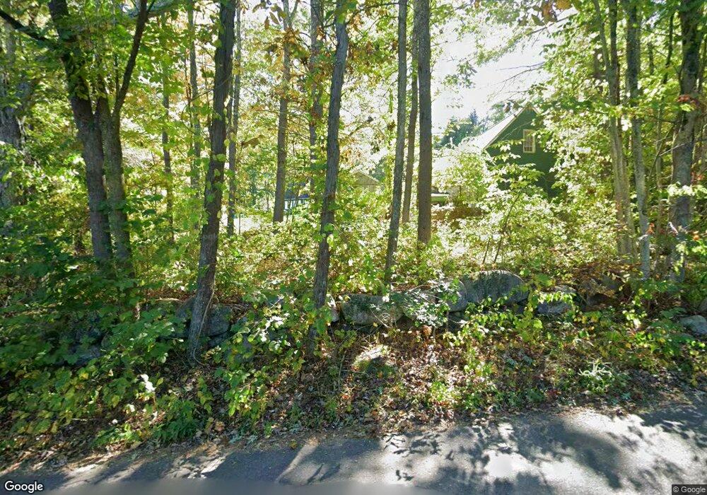
122 Squannacook Rd Shirley, MA 01464
Estimated Value: $598,350 - $625,000
4
Beds
3
Baths
2,321
Sq Ft
$265/Sq Ft
Est. Value
About This Home
This home is located at 122 Squannacook Rd, Shirley, MA 01464 and is currently estimated at $615,088, approximately $265 per square foot. 122 Squannacook Rd is a home located in Middlesex County with nearby schools including Page Hilltop School, Lura A. White Elementary School, and Ayer Shirley Regional Middle School.
Ownership History
Date
Name
Owned For
Owner Type
Purchase Details
Closed on
Mar 15, 1991
Sold by
Feehan James E and Feehan Bonnie J
Bought by
Stonge Kevin P and Stonge Sandra A
Current Estimated Value
Create a Home Valuation Report for This Property
The Home Valuation Report is an in-depth analysis detailing your home's value as well as a comparison with similar homes in the area
Home Values in the Area
Average Home Value in this Area
Purchase History
| Date | Buyer | Sale Price | Title Company |
|---|---|---|---|
| Stonge Kevin P | $125,000 | -- |
Source: Public Records
Mortgage History
| Date | Status | Borrower | Loan Amount |
|---|---|---|---|
| Open | Stonge Kevin P | $13,000 | |
| Open | Stonge Kevin P | $120,000 | |
| Closed | Stonge Kevin P | $11,000 |
Source: Public Records
Tax History Compared to Growth
Tax History
| Year | Tax Paid | Tax Assessment Tax Assessment Total Assessment is a certain percentage of the fair market value that is determined by local assessors to be the total taxable value of land and additions on the property. | Land | Improvement |
|---|---|---|---|---|
| 2025 | $66 | $507,700 | $137,700 | $370,000 |
| 2024 | $6,263 | $461,500 | $125,900 | $335,600 |
| 2023 | $6,116 | $431,300 | $125,900 | $305,400 |
| 2022 | $5,858 | $378,400 | $121,900 | $256,500 |
| 2021 | $5,876 | $355,500 | $110,100 | $245,400 |
| 2020 | $5,661 | $351,400 | $110,100 | $241,300 |
| 2019 | $5,451 | $339,000 | $110,100 | $228,900 |
| 2018 | $5,381 | $327,700 | $105,400 | $222,300 |
| 2017 | $5,404 | $327,100 | $102,300 | $224,800 |
| 2016 | $5,161 | $312,600 | $102,300 | $210,300 |
| 2015 | $5,010 | $289,400 | $100,700 | $188,700 |
Source: Public Records
Map
Nearby Homes
- 111 Squannacook Rd
- 346 Townsend Rd
- 354 Townsend Rd
- 59 Squannacook Rd
- 37 Pepperell Rd
- Lot 10 Christian Cir
- 55 W Main St
- 65 W Main St
- 22 Townsend Rd
- 43 Longley Rd
- 21 Magnolia Ln
- 49 Magnolia Ln Unit 49
- 18 Crosswinds Dr
- 49 Parker Rd
- 22 Lakin St
- 147 Shirley St
- 10 Lakin St
- 1790 Massachusetts Ave Unit 25
- 1790 Mass Ave Unit 3
- 1790 Massachusetts Ave Unit 22
- 126 Squannacook Rd
- 120 Squannacook Rd
- 120 Squannacook Rd Unit A
- 120 Squannacook Rd Unit 120 B
- 000000 Joyce Lane`
- 117 Squannacook Rd
- 125 Squannacook Rd
- 1 Joyce Ln
- 1 Joyce Ln
- 128 Squannacook Rd Unit B
- 128 Squannacook Rd Unit A
- 128 Squannacook Rd Unit 1B
- 128 B Squannacook Rd Unit B
- 114 Squannacook Rd
- 114 Squannacook Rd Unit A
- 114 Squannacook Rd Unit B
- 1 Daniel Dr
- 113 Squannacook Rd
- 113 Squannacook Rd
- 116 Squannacook Rd