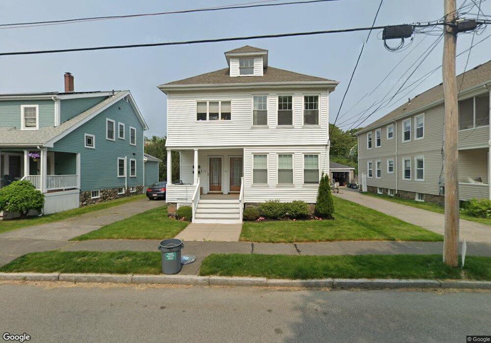
122 Stetson Ave Unit 124 Swampscott, MA 01907
Estimated Value: $834,918 - $919,000
4
Beds
2
Baths
2,613
Sq Ft
$333/Sq Ft
Est. Value
About This Home
This home is located at 122 Stetson Ave Unit 124, Swampscott, MA 01907 and is currently estimated at $870,480, approximately $333 per square foot. 122 Stetson Ave Unit 124 is a home located in Essex County with nearby schools including Swampscott Middle School and Swampscott High School.
Ownership History
Date
Name
Owned For
Owner Type
Purchase Details
Closed on
Aug 26, 2020
Sold by
Hahn Kenneth Est
Bought by
Mulligan Katherine and Parente Nicholas
Current Estimated Value
Home Financials for this Owner
Home Financials are based on the most recent Mortgage that was taken out on this home.
Original Mortgage
$544,000
Outstanding Balance
$482,764
Interest Rate
2.9%
Mortgage Type
New Conventional
Estimated Equity
$387,716
Create a Home Valuation Report for This Property
The Home Valuation Report is an in-depth analysis detailing your home's value as well as a comparison with similar homes in the area
Home Values in the Area
Average Home Value in this Area
Purchase History
| Date | Buyer | Sale Price | Title Company |
|---|---|---|---|
| Mulligan Katherine | $640,000 | None Available |
Source: Public Records
Mortgage History
| Date | Status | Borrower | Loan Amount |
|---|---|---|---|
| Open | Mulligan Katherine | $544,000 |
Source: Public Records
Tax History Compared to Growth
Tax History
| Year | Tax Paid | Tax Assessment Tax Assessment Total Assessment is a certain percentage of the fair market value that is determined by local assessors to be the total taxable value of land and additions on the property. | Land | Improvement |
|---|---|---|---|---|
| 2025 | $8,107 | $706,800 | $280,100 | $426,700 |
| 2024 | $7,953 | $692,200 | $267,500 | $424,700 |
| 2023 | $7,712 | $656,900 | $242,500 | $414,400 |
| 2022 | $7,724 | $602,000 | $209,000 | $393,000 |
| 2021 | $7,299 | $528,900 | $192,300 | $336,600 |
| 2020 | $6,617 | $462,700 | $167,200 | $295,500 |
| 2019 | $6,214 | $408,800 | $133,800 | $275,000 |
| 2018 | $6,107 | $381,700 | $117,000 | $264,700 |
| 2017 | $6,015 | $344,700 | $117,000 | $227,700 |
| 2016 | $5,651 | $326,100 | $108,700 | $217,400 |
| 2015 | $5,521 | $321,900 | $104,500 | $217,400 |
| 2014 | $6,104 | $326,400 | $87,800 | $238,600 |
Source: Public Records
Map
Nearby Homes
- 51 Barnstable St
- 76 Stetson Ave
- 5 Summit View Dr
- 10-12 Fairview Ave
- 2 Gracie Ln Unit 4
- 306 Paradise Rd
- 106 Norfolk Ave
- 309 Paradise Rd
- 445 Essex St Unit 304
- 8 Ryan Place
- 98 Paradise Rd
- 80 Norfolk Ave Unit 1
- 100 Burpee Rd
- 189 Burrill St Unit 2
- 44 Cherry St Unit 2
- 29-31 Essex Ave Unit 2
- 30 Paradise Rd
- 140 Elmwood Rd
- 108-110 Burrill St Unit 1
- 71 Walnut Rd
- 122 Stetson Ave Unit 2
- 126 Stetson Ave
- 120 Stetson Ave
- 130 Stetson Ave
- 130 Stetson Ave Unit 1
- 123 Stetson Ave
- 121 Stetson Ave
- 121 Stetson Ave Unit 121
- 116 Stetson Ave
- 125 Stetson Ave
- 117 Stetson Ave Unit 119
- 115 Stetson Ave
- 134 Stetson Ave
- 112 Stetson Ave
- 113 Stetson Ave Unit 115
- 80 Barnstable St
- 253 Essex St
- 133 Stetson Ave
- 138 Stetson Ave
- 108 Stetson Ave