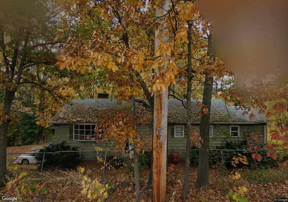
122 Stow Rd Marlborough, MA 01752
Estimated Value: $524,000 - $664,000
3
Beds
2
Baths
1,354
Sq Ft
$429/Sq Ft
Est. Value
About This Home
This home is located at 122 Stow Rd, Marlborough, MA 01752 and is currently estimated at $581,210, approximately $429 per square foot. 122 Stow Rd is a home located in Middlesex County with nearby schools including Marlborough High School, New Covenant Christian School, and Glenhaven Academy - JRI School.
Create a Home Valuation Report for This Property
The Home Valuation Report is an in-depth analysis detailing your home's value as well as a comparison with similar homes in the area
Home Values in the Area
Average Home Value in this Area
Tax History Compared to Growth
Tax History
| Year | Tax Paid | Tax Assessment Tax Assessment Total Assessment is a certain percentage of the fair market value that is determined by local assessors to be the total taxable value of land and additions on the property. | Land | Improvement |
|---|---|---|---|---|
| 2025 | $4,296 | $435,700 | $203,600 | $232,100 |
| 2024 | $4,187 | $408,900 | $185,000 | $223,900 |
| 2023 | $4,493 | $389,300 | $151,600 | $237,700 |
| 2022 | $4,381 | $333,900 | $144,500 | $189,400 |
| 2021 | $4,168 | $302,000 | $117,900 | $184,100 |
| 2020 | $4,125 | $290,900 | $114,900 | $176,000 |
| 2019 | $4,025 | $286,100 | $112,700 | $173,400 |
| 2018 | $121 | $299,400 | $115,200 | $184,200 |
| 2017 | $4,348 | $283,800 | $117,200 | $166,600 |
| 2016 | $4,245 | $276,700 | $117,200 | $159,500 |
| 2015 | $4,035 | $256,000 | $120,500 | $135,500 |
Source: Public Records
Map
Nearby Homes
- 323 Robert Rd
- 38 Airport Blvd
- 256 Robert Rd
- 45 Raffaele Rd
- 37 Hosmer St Unit 10
- 37 Hosmer St Unit 20
- 116 Boston Post Rd E Unit 105
- 110 Boston Post Rd E Unit 104
- 99 Kings Grant Rd
- 274 Naugler Ave
- 96 Cook Ln
- 97 Cook Ln
- 181 Boston Post Rd E Unit 26
- 41 Kane Dr
- 261 Boston Post Rd E Unit 1
- 271 Boston Post Rd E Unit 4
- 24 Clinton St
- 16 Clinton St
- 114 Lodi Rd
- 23 Victoria Ln