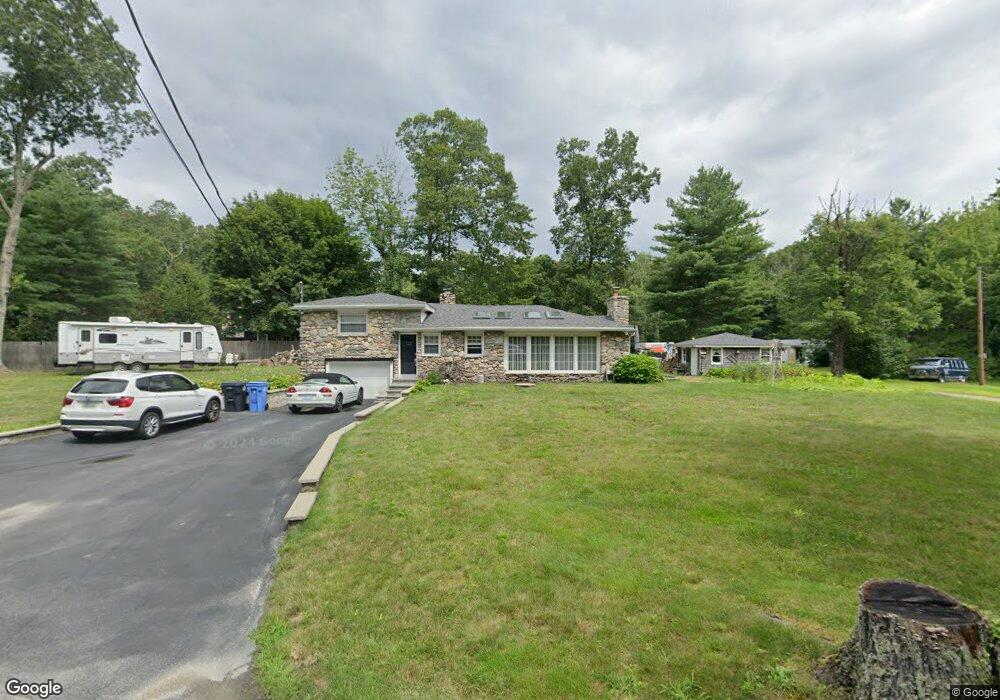
122 Sumner Brown Rd Cumberland, RI 02864
North Cumberland NeighborhoodEstimated Value: $510,769 - $959,000
3
Beds
2
Baths
1,288
Sq Ft
$528/Sq Ft
Est. Value
About This Home
This home is located at 122 Sumner Brown Rd, Cumberland, RI 02864 and is currently estimated at $679,692, approximately $527 per square foot. 122 Sumner Brown Rd is a home located in Providence County with nearby schools including Community School, North Cumberland Middle School, and Cumberland High School.
Ownership History
Date
Name
Owned For
Owner Type
Purchase Details
Closed on
Nov 30, 2011
Sold by
Lebrun Edward P and Lebrun Vivian A
Bought by
Bush Maria F and Jolicoeur Robert E
Current Estimated Value
Home Financials for this Owner
Home Financials are based on the most recent Mortgage that was taken out on this home.
Original Mortgage
$211,500
Outstanding Balance
$145,304
Interest Rate
4.1%
Mortgage Type
Purchase Money Mortgage
Estimated Equity
$534,388
Purchase Details
Closed on
Mar 1, 1994
Sold by
Dominichini Francesco and Weinreich Michelle E
Bought by
Lebrun Edward P and Lebrun Vivian
Create a Home Valuation Report for This Property
The Home Valuation Report is an in-depth analysis detailing your home's value as well as a comparison with similar homes in the area
Home Values in the Area
Average Home Value in this Area
Purchase History
| Date | Buyer | Sale Price | Title Company |
|---|---|---|---|
| Bush Maria F | $235,000 | -- | |
| Lebrun Edward P | $140,000 | -- |
Source: Public Records
Mortgage History
| Date | Status | Borrower | Loan Amount |
|---|---|---|---|
| Open | Lebrun Edward P | $211,500 |
Source: Public Records
Tax History Compared to Growth
Tax History
| Year | Tax Paid | Tax Assessment Tax Assessment Total Assessment is a certain percentage of the fair market value that is determined by local assessors to be the total taxable value of land and additions on the property. | Land | Improvement |
|---|---|---|---|---|
| 2025 | $4,488 | $365,800 | $162,200 | $203,600 |
| 2024 | $4,371 | $365,800 | $162,200 | $203,600 |
| 2023 | $4,251 | $365,800 | $162,200 | $203,600 |
| 2022 | $4,278 | $285,400 | $126,200 | $159,200 |
| 2021 | $4,207 | $285,400 | $126,200 | $159,200 |
| 2020 | $4,087 | $285,400 | $126,200 | $159,200 |
| 2019 | $3,989 | $251,200 | $114,700 | $136,500 |
| 2018 | $3,874 | $251,200 | $114,700 | $136,500 |
| 2017 | $3,821 | $251,200 | $114,700 | $136,500 |
| 2016 | $3,647 | $213,500 | $116,500 | $97,000 |
| 2015 | $3,647 | $213,500 | $116,500 | $97,000 |
| 2014 | $3,647 | $213,500 | $116,500 | $97,000 |
| 2013 | $3,711 | $235,200 | $118,400 | $116,800 |
Source: Public Records
Map
Nearby Homes
- 126 Sumner Brown Rd
- 120 Sumner Brown Rd
- 225 Ellery St
- 118 Sumner Brown Rd
- 141 Sumner Brown Rd
- 140 Sumner Brown Rd
- 110 Sumner Brown Rd
- 130 Burnt Swamp Rd
- 145 Sumner Brown Rd
- 120 Burnt Swamp Rd
- 81 Sumner Brown Rd
- 92 Sumner Brown Rd
- 157 Burnt Swamp Rd
- 168 Burnt Swamp Rd
- 88 Sumner Brown Rd
- 117 Burnt Swamp Rd
- 141 Burnt Swamp Rd
- 161 Burnt Swamp Rd
- 26 Burnt Swamp Rd
- 10008 Burnt Swamp Rd