Estimated Value: $385,000 - $469,000
About This Home
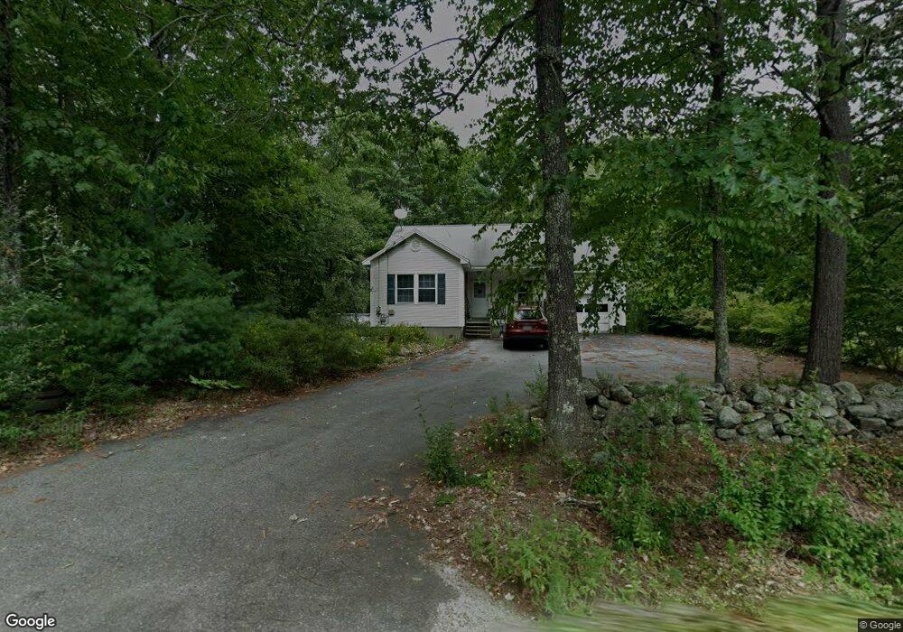
This home is located at 122 Townsend Rd, Mason, NH 03048 and is currently estimated at $409,956, approximately $318 per square foot. 122 Townsend Rd is a home.
Ownership History
We collect this data history from publicly available records. To have your information removed, we recommend requesting removal directly through your county’s website.
Purchase Details
Home Financials for this Owner
Home Financials are based on the most recent Mortgage that was taken out on this home.Home Values in the Area
Average Home Value in this Area
Purchase History
We collect this data history from publicly available records. To have your information removed, we recommend requesting removal directly through your county’s website.
| Date | Buyer | Sale Price | Title Company |
|---|---|---|---|
| $189,000 | -- |
Mortgage History
We collect this data history from publicly available records. To have your information removed, we recommend requesting removal directly through your county’s website.
| Date | Status | Borrower | Loan Amount |
|---|---|---|---|
| Open | $27,000 | ||
| Closed | $25,000 | ||
| Closed | $25,000 | ||
| Closed | $30,000 |
Tax History
We collect this data history from publicly available records. To have your information removed, we recommend requesting removal directly through your county’s website.
| Year | Tax Paid | Tax Assessment Tax Assessment Total Assessment is a certain percentage of the fair market value that is determined by local assessors to be the total taxable value of land and additions on the property. | Land | Improvement |
|---|---|---|---|---|
| 2025 | $5,759 | $229,900 | $100,100 | $129,800 |
| 2024 | $5,874 | $229,900 | $100,100 | $129,800 |
| 2023 | $5,453 | $229,900 | $100,100 | $129,800 |
| 2022 | $4,674 | $229,900 | $100,100 | $129,800 |
| 2021 | $4,561 | $229,900 | $100,100 | $129,800 |
| 2020 | $5,313 | $196,700 | $80,600 | $116,100 |
| 2019 | $5,161 | $196,700 | $80,600 | $116,100 |
| 2018 | $4,953 | $196,700 | $80,600 | $116,100 |
| 2017 | $4,947 | $196,700 | $80,600 | $116,100 |
| 2016 | $4,959 | $196,700 | $80,600 | $116,100 |
| 2015 | $5,063 | $212,900 | $80,900 | $132,000 |
| 2014 | $5,069 | $212,900 | $80,900 | $132,000 |
| 2013 | $5,301 | $212,900 | $80,900 | $132,000 |
Map
- 1187 Brookline Rd
- 1188 Valley Rd
- 630 Campbell Mill Rd
- 150 Greenville Rd
- 54 Old Ashby Rd
- 197 New Hillcrest Dr
- 506 Sand Pit Rd
- 0 Barrett Hill Rd Unit 5082279
- B-19-4 Wilton Rd
- B-19-5 Wilton Rd
- B-19-1 Wilton Rd
- 00 Juniper Hill
- 90 Merriam Hill Rd Unit 2
- 49 Countryside Dr
- 267 Old Turnpike Rd
- 676 Starch Mill Rd
- 9 Winterberry Rd
- 7 Winterberry Rd
- 724 Starch Mill Rd
- 9 Maxwell Dr
- 127 Townsend Rd
- 113 Townsend Rd
- 104 Townsend Rd
- 89 Townsend Rd
- 372 Townsend Rd
- 62 Townsend Rd
- 74 Townsend Rd
- 61 Townsend Rd
- 195 Townsend Rd
- Lot 37-3 Townsend Rd
- 24 Townsend Rd
- 2 Townsend Rd Unit 37
- 79 Townsend Rd
- 37 Townsend Rd
- 37-3 Townsend Rd
- 211 Townsend Rd
- 242 Townsend Rd
- 220 Townsend Rd
- 200 Townsend Rd
- 15 Townsend Rd
Ask me questions while you tour the home.