Estimated Value: $100,241 - $206,000
3
Beds
1
Bath
1,340
Sq Ft
$114/Sq Ft
Est. Value
About This Home
This home is located at 122 W Folsom Rd, Caney, OK 74533 and is currently estimated at $153,414, approximately $114 per square foot. 122 W Folsom Rd is a home located in Atoka County with nearby schools including Caney Elementary School and Caney High School.
Ownership History
Date
Name
Owned For
Owner Type
Purchase Details
Closed on
Nov 17, 2022
Sold by
Cathey Joe W and Cathey Brandy M
Bought by
Wright Pinne J
Current Estimated Value
Home Financials for this Owner
Home Financials are based on the most recent Mortgage that was taken out on this home.
Original Mortgage
$49,274
Outstanding Balance
$47,605
Interest Rate
6.81%
Mortgage Type
Construction
Estimated Equity
$105,809
Purchase Details
Closed on
Jul 18, 2019
Sold by
Nicholas Draper and Nicholas Amanda
Bought by
Cathey Joe W
Purchase Details
Closed on
Jul 24, 2017
Sold by
Us Bank Natl Trust 2011-1
Bought by
Draper Nicholas and Draper Amanda
Purchase Details
Closed on
Apr 1, 2008
Sold by
Affidavit
Bought by
Gray Pattie
Create a Home Valuation Report for This Property
The Home Valuation Report is an in-depth analysis detailing your home's value as well as a comparison with similar homes in the area
Purchase History
| Date | Buyer | Sale Price | Title Company |
|---|---|---|---|
| Wright Pinne J | $42,000 | Complete Closing Llc | |
| Cathey Joe W | $47,500 | Complete Closing Llc | |
| Draper Nicholas | $45,000 | Oklahoma Title & Closing Co | |
| Gray Pattie | -- | -- |
Source: Public Records
Mortgage History
| Date | Status | Borrower | Loan Amount |
|---|---|---|---|
| Open | Wright Pinne J | $49,274 |
Source: Public Records
Tax History
| Year | Tax Paid | Tax Assessment Tax Assessment Total Assessment is a certain percentage of the fair market value that is determined by local assessors to be the total taxable value of land and additions on the property. | Land | Improvement |
|---|---|---|---|---|
| 2025 | $564 | $5,557 | $766 | $4,791 |
| 2024 | $564 | $5,293 | $730 | $4,563 |
| 2023 | $476 | $5,040 | $700 | $4,340 |
| 2022 | $534 | $5,700 | $684 | $5,016 |
| 2021 | $531 | $5,700 | $684 | $5,016 |
| 2020 | $532 | $5,700 | $684 | $5,016 |
| 2019 | $407 | $4,266 | $533 | $3,733 |
| 2018 | $394 | $4,063 | $622 | $3,441 |
| 2017 | $376 | $3,870 | $593 | $3,277 |
| 2016 | $266 | $3,757 | $561 | $3,196 |
| 2015 | $217 | $3,648 | $554 | $3,094 |
| 2014 | $226 | $3,542 | $624 | $2,918 |
Source: Public Records
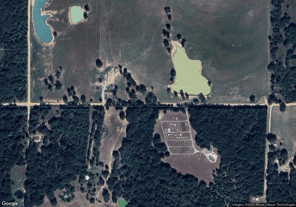
Map
Nearby Homes
- 0 W Folsom Rd Unit 2604550
- 0 Mt Carmel Rd Unit 2525814
- 12717 S Chisolm Rd
- 1676 W Folsom Rd
- 12389 S Chisolm Rd
- 0 S Buckholt Rd
- 638 W Main St
- 11 Turnbull Rd
- 20 Turnbull Rd
- 17 Turnbull Rd
- TBD Turnbull Rd
- 7 Freeny Valley Rd
- 6 Freeny Valley Rd
- 9 Freeny Valley Rd
- 18674 Oklahoma 22
- 10392 S Buckholt Rd
- 24 Oklahoma 22
- 415 Russell St
- 212 S Arkansas St
- 110 Ainsworth
- 9331 S Old Hwy
- 773 Folsom Rd
- 5997 W Folsom Rd
- 511 W Folsom Rd
- 5162 W Folsom Rd
- 1420 S Old Hwy
- 6201 W Folsom Rd
- 5067 W Burntwood Rd
- 0 W Folsom Rd Unit 2509554
- 0 W Folsom Rd Unit 2428001
- 0 W Folsom Rd Unit 2427997
- 0 W Folsom Rd Unit 1723878
- 4719 W Burntwood Rd
- 472 W Burntwood Rd
- 8487 S Old Hwy
- 6487 W Folsom Rd
- 10468 S Old Hwy
- 6246 W Small Creek Ln
- 12601 S Chisolm Rd
- 69/75 S S S
Your Personal Tour Guide
Ask me questions while you tour the home.