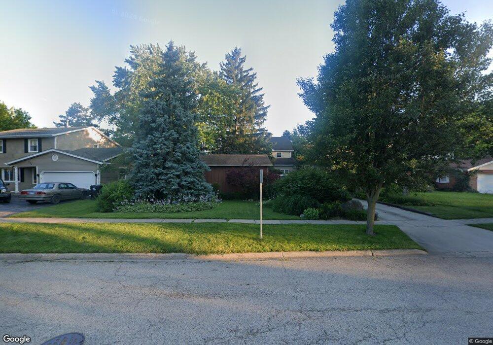
122 W Maple Ave Wauconda, IL 60084
Estimated Value: $252,000 - $404,000
3
Beds
4
Baths
1,943
Sq Ft
$174/Sq Ft
Est. Value
About This Home
This home is located at 122 W Maple Ave, Wauconda, IL 60084 and is currently estimated at $338,303, approximately $174 per square foot. 122 W Maple Ave is a home located in Lake County with nearby schools including Wauconda Grade School, Wauconda Middle School, and Wauconda High School.
Ownership History
Date
Name
Owned For
Owner Type
Purchase Details
Closed on
Sep 11, 2002
Sold by
Dewyze Brian R and Dewyze Deanna K
Bought by
Dewyze Brian R and Dewyze Deanna K
Current Estimated Value
Home Financials for this Owner
Home Financials are based on the most recent Mortgage that was taken out on this home.
Original Mortgage
$95,000
Interest Rate
6.39%
Purchase Details
Closed on
Sep 24, 1993
Sold by
Augustin Edward J and Augustin Patricia B
Bought by
Dewyze Brian and Limperes Deanna K
Home Financials for this Owner
Home Financials are based on the most recent Mortgage that was taken out on this home.
Original Mortgage
$123,500
Interest Rate
7.15%
Create a Home Valuation Report for This Property
The Home Valuation Report is an in-depth analysis detailing your home's value as well as a comparison with similar homes in the area
Home Values in the Area
Average Home Value in this Area
Purchase History
| Date | Buyer | Sale Price | Title Company |
|---|---|---|---|
| Dewyze Brian R | -- | Lawyers Title | |
| Dewyze Brian | $86,666 | Golden Title |
Source: Public Records
Mortgage History
| Date | Status | Borrower | Loan Amount |
|---|---|---|---|
| Closed | Dewyze Brian R | $95,000 | |
| Closed | Dewyze Brian | $123,500 |
Source: Public Records
Tax History
| Year | Tax Paid | Tax Assessment Tax Assessment Total Assessment is a certain percentage of the fair market value that is determined by local assessors to be the total taxable value of land and additions on the property. | Land | Improvement |
|---|---|---|---|---|
| 2024 | $6,510 | $89,983 | $17,769 | $72,214 |
| 2023 | $7,144 | $82,251 | $16,242 | $66,009 |
| 2022 | $7,144 | $71,468 | $16,353 | $55,115 |
| 2021 | $6,811 | $67,531 | $15,452 | $52,079 |
| 2020 | $6,586 | $64,364 | $14,727 | $49,637 |
| 2019 | $5,843 | $60,829 | $13,918 | $46,911 |
| 2018 | $6,649 | $63,775 | $16,535 | $47,240 |
| 2017 | $6,635 | $63,038 | $16,344 | $46,694 |
| 2016 | $6,223 | $59,695 | $15,477 | $44,218 |
| 2015 | $5,836 | $54,801 | $14,208 | $40,593 |
| 2014 | $5,088 | $50,187 | $16,483 | $33,704 |
| 2012 | $4,972 | $49,576 | $15,771 | $33,805 |
Source: Public Records
Map
Nearby Homes
- 125 E Mill St Unit D103
- 124 Hubbard Ct
- 212 Lewis Ave
- 318 E Liberty St
- 25586 W High St
- 25578 W High St
- 25570 W High St
- 515 Indian Ridge Trail
- 303 Stillwater Ct Unit 1106
- 28048 N Hickory Ln
- 225 Regency Ct Unit A
- 26585 N Pheasant Ct
- 533 Farmhill Cir
- 25235 W Hermosa Ave
- 305 Crestview Dr Unit D
- 27514 N Forest Garden Rd
- 505 Woodland Ave
- 424 Woodland Ave
- 26140 N Ann Ct
- 701 Lake Shore Dr
- 130 W Maple Ave
- 116 W Maple Ave
- 110 W Maple Ave
- 105 W Church St
- 136 W Maple Ave
- 102 W Maple Ave
- 109 W Church St
- 113 W Maple Ave
- 101 W Church St
- 123 W Maple Ave
- 140 W Maple Ave
- 129 W Maple Ave
- 117 W Maple Ave
- 115 W Maple Ave
- 121 W Church St
- 135 W Maple Ave
- 146 W Maple Ave
- 117 Bangs St
- 127 W Church St
- 103 S Maple Ave