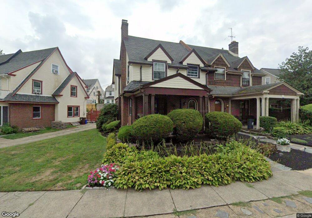
122 Walsh Rd Lansdowne, PA 19050
Estimated Value: $321,865 - $362,000
4
Beds
3
Baths
1,724
Sq Ft
$195/Sq Ft
Est. Value
About This Home
This home is located at 122 Walsh Rd, Lansdowne, PA 19050 and is currently estimated at $335,716, approximately $194 per square foot. 122 Walsh Rd is a home located in Delaware County with nearby schools including Ardmore Avenue School, Penn Wood Middle School, and Penn Wood High School - Cypress Street Campus.
Ownership History
Date
Name
Owned For
Owner Type
Purchase Details
Closed on
Jun 6, 2001
Sold by
Quigley John F and Quigley John F
Bought by
Morales Ricardo and Benson Elizabeth
Current Estimated Value
Home Financials for this Owner
Home Financials are based on the most recent Mortgage that was taken out on this home.
Original Mortgage
$99,192
Outstanding Balance
$37,619
Interest Rate
7.08%
Mortgage Type
FHA
Estimated Equity
$298,097
Create a Home Valuation Report for This Property
The Home Valuation Report is an in-depth analysis detailing your home's value as well as a comparison with similar homes in the area
Home Values in the Area
Average Home Value in this Area
Purchase History
| Date | Buyer | Sale Price | Title Company |
|---|---|---|---|
| Morales Ricardo | $99,977 | T A Title Insurance Company |
Source: Public Records
Mortgage History
| Date | Status | Borrower | Loan Amount |
|---|---|---|---|
| Open | Morales Ricardo | $99,192 |
Source: Public Records
Tax History Compared to Growth
Tax History
| Year | Tax Paid | Tax Assessment Tax Assessment Total Assessment is a certain percentage of the fair market value that is determined by local assessors to be the total taxable value of land and additions on the property. | Land | Improvement |
|---|---|---|---|---|
| 2025 | $7,005 | $170,140 | $50,470 | $119,670 |
| 2024 | $7,005 | $170,140 | $50,470 | $119,670 |
| 2023 | $6,678 | $170,140 | $50,470 | $119,670 |
| 2022 | $6,547 | $170,140 | $50,470 | $119,670 |
| 2021 | $9,832 | $170,140 | $50,470 | $119,670 |
| 2020 | $6,655 | $101,480 | $27,780 | $73,700 |
| 2019 | $6,544 | $101,480 | $27,780 | $73,700 |
| 2018 | $6,431 | $101,480 | $0 | $0 |
| 2017 | $6,290 | $101,480 | $0 | $0 |
| 2016 | $557 | $101,480 | $0 | $0 |
| 2015 | $557 | $101,480 | $0 | $0 |
| 2014 | $557 | $101,480 | $0 | $0 |
Source: Public Records
Map
Nearby Homes
- 233 Scottdale Rd
- 108 Gladstone Rd
- 82 Marple Ave
- 442 E Baltimore Ave
- 257 W Greenwood Ave
- 3847 Dennison Ave
- 80 W Baltimore Ave Unit B510
- 0 Bridge St
- 3941 Bridge St
- 603 Montana Ave
- 162 Burmont Rd
- 271 Drexel Ave
- 185 Berkley Ave
- 208 Rosewood Ave
- 182 Berkley Ave
- 3817 Berkley Ave
- 338 Springfield Rd
- 50 Blanchard Rd
- 38 W Stratford Ave
- 3841 Berkley Ave