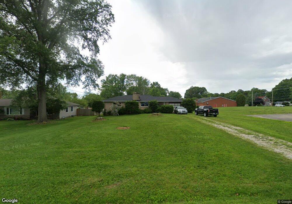
122 Westgate Ave Wadsworth, OH 44281
Estimated Value: $181,436 - $209,000
2
Beds
5
Baths
924
Sq Ft
$213/Sq Ft
Est. Value
About This Home
This home is located at 122 Westgate Ave, Wadsworth, OH 44281 and is currently estimated at $197,109, approximately $213 per square foot. 122 Westgate Ave is a home located in Medina County with nearby schools including Isham Memorial Elementary School, Central Intermediate School, and Wadsworth Middle School.
Ownership History
Date
Name
Owned For
Owner Type
Purchase Details
Closed on
Feb 8, 2016
Sold by
Morrison Earl D and Morrison Myrtle A
Bought by
Filler Samuel S
Current Estimated Value
Home Financials for this Owner
Home Financials are based on the most recent Mortgage that was taken out on this home.
Original Mortgage
$93,279
Outstanding Balance
$73,554
Interest Rate
3.62%
Mortgage Type
FHA
Estimated Equity
$123,555
Purchase Details
Closed on
Jul 27, 2005
Sold by
Morrison Donald R and Morrison Earl D
Bought by
Morrison Earl D and Morrison Myrtle A
Create a Home Valuation Report for This Property
The Home Valuation Report is an in-depth analysis detailing your home's value as well as a comparison with similar homes in the area
Home Values in the Area
Average Home Value in this Area
Purchase History
| Date | Buyer | Sale Price | Title Company |
|---|---|---|---|
| Filler Samuel S | $95,000 | First American Title | |
| Morrison Earl D | -- | -- |
Source: Public Records
Mortgage History
| Date | Status | Borrower | Loan Amount |
|---|---|---|---|
| Open | Filler Samuel S | $93,279 |
Source: Public Records
Tax History
| Year | Tax Paid | Tax Assessment Tax Assessment Total Assessment is a certain percentage of the fair market value that is determined by local assessors to be the total taxable value of land and additions on the property. | Land | Improvement |
|---|---|---|---|---|
| 2024 | $2,080 | $41,530 | $18,380 | $23,150 |
| 2023 | $1,872 | $41,530 | $18,380 | $23,150 |
| 2022 | $1,878 | $41,530 | $18,380 | $23,150 |
| 2021 | $1,774 | $33,220 | $14,700 | $18,520 |
| 2020 | $1,572 | $33,220 | $14,700 | $18,520 |
| 2019 | $1,575 | $33,220 | $14,700 | $18,520 |
| 2018 | $1,655 | $32,740 | $14,030 | $18,710 |
| 2017 | $1,656 | $32,740 | $14,030 | $18,710 |
| 2016 | $1,683 | $32,740 | $14,030 | $18,710 |
| 2015 | $1,577 | $29,240 | $12,530 | $16,710 |
| 2014 | $1,603 | $29,240 | $12,530 | $16,710 |
| 2013 | $1,605 | $29,240 | $12,530 | $16,710 |
Source: Public Records
Map
Nearby Homes
- 559 Westwood Ave
- 191 Grandview Ave
- 0 Rosalind Ave
- 455 Barrenwood Dr
- 133 Beck St
- 8008 Wadsworth Rd
- 744 Lawrence Dr
- 820 Lawrence Dr
- 155 W Walnut St
- 281 High St
- 216 N Lyman St
- 187 Park Ct
- 442-442 1/2 Main St
- 535 West St
- 189 Pine St
- 140 Fairview Ave
- 552 Main St Unit H
- 579 West St
- 242 E Walnut St
- 236 Knollwood Dr
- 126 Westgate Ave
- 140 Westgate Ave
- 135 Westgate Ave
- 137 Westgate Ave
- 497 V/L College St
- 153 Westgate Ave
- V/L College St
- 141 Parkview Ave
- 152 Westgate Ave
- 152 Parkview Ave
- 514 College St
- 487 College St
- 161 Westgate Ave
- 555 College St
- 0 College St
- 125 Westview Ave
- 497 College St
- 536 College St
- 135 Westview Ave
- 162 Westgate Ave
Your Personal Tour Guide
Ask me questions while you tour the home.