122 Windswept Dr Lebanon, ME 04027
Estimated Value: $303,281 - $464,000
--
Bed
--
Bath
1,144
Sq Ft
$327/Sq Ft
Est. Value
About This Home
This home is located at 122 Windswept Dr, Lebanon, ME 04027 and is currently estimated at $373,570, approximately $326 per square foot. 122 Windswept Dr is a home with nearby schools including Noble High School.
Ownership History
Date
Name
Owned For
Owner Type
Purchase Details
Closed on
May 21, 2021
Sold by
Godin Michelle A
Bought by
Evans Cynthia M
Current Estimated Value
Home Financials for this Owner
Home Financials are based on the most recent Mortgage that was taken out on this home.
Original Mortgage
$124,000
Outstanding Balance
$112,375
Interest Rate
3.1%
Mortgage Type
Purchase Money Mortgage
Estimated Equity
$261,195
Purchase Details
Closed on
Jun 18, 2015
Sold by
Windswept Drive Llc
Bought by
Godin Michelle A
Purchase Details
Closed on
Apr 26, 2007
Sold by
Abbott James
Bought by
Windswept Drive Llc
Create a Home Valuation Report for This Property
The Home Valuation Report is an in-depth analysis detailing your home's value as well as a comparison with similar homes in the area
Home Values in the Area
Average Home Value in this Area
Purchase History
| Date | Buyer | Sale Price | Title Company |
|---|---|---|---|
| Evans Cynthia M | -- | None Available | |
| Godin Michelle A | -- | -- | |
| Windswept Drive Llc | -- | -- |
Source: Public Records
Mortgage History
| Date | Status | Borrower | Loan Amount |
|---|---|---|---|
| Open | Evans Cynthia M | $124,000 | |
| Previous Owner | Windswept Drive Llc | $34,000 |
Source: Public Records
Tax History Compared to Growth
Tax History
| Year | Tax Paid | Tax Assessment Tax Assessment Total Assessment is a certain percentage of the fair market value that is determined by local assessors to be the total taxable value of land and additions on the property. | Land | Improvement |
|---|---|---|---|---|
| 2024 | $1,909 | $200,977 | $99,120 | $101,857 |
| 2023 | $1,764 | $191,766 | $99,120 | $92,646 |
| 2022 | $1,307 | $85,120 | $35,020 | $50,100 |
| 2021 | $1,285 | $85,120 | $35,020 | $50,100 |
| 2020 | $1,349 | $85,120 | $35,020 | $50,100 |
| 2019 | $1,330 | $85,120 | $35,020 | $50,100 |
| 2017 | $1,297 | $85,120 | $35,020 | $50,100 |
| 2016 | $1,297 | $85,120 | $35,020 | $50,100 |
| 2015 | $1,297 | $85,120 | $35,020 | $50,100 |
| 2014 | $1,639 | $110,020 | $32,020 | $78,000 |
Source: Public Records
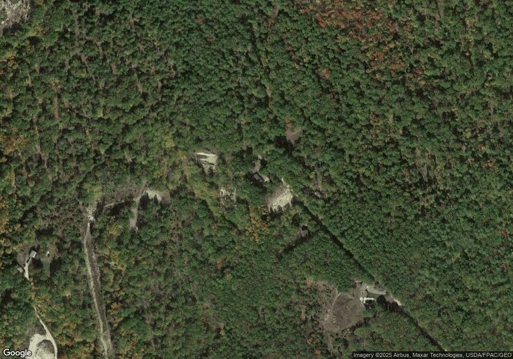
Map
Nearby Homes
- 31 Davis Ln
- 17 Wildflower Way
- 141 Sam Wentworth Rd
- 19 Richards Way
- 0 School House Ln Unit 1641501
- 15 Friesian Ln
- 50 Forest Park Dr
- 327 White Mountain Hwy
- 384 Cross Rd
- 6 Sewell Rd
- 117 Gile Way
- 136 Milton Rd
- R11-063 Shapleigh Rd
- 30 Riverlawn Ave
- 139 Elm St
- 9 Elm St
- 301 Shapleigh Rd
- 96 Salmon Falls Rd
- 33 Moose Ln
- 6 Dawson St
- 116 Windswept Dr
- 82 Windswept Dr
- 86 Kates Pond Rd
- 70 Windswept Dr
- 34 Kates Pond Rd
- 0 Windswept Dr
- 43 Indian Lake Dr
- 56 Windswept Dr
- TBD Windswept
- 27 Kates Pond Rd
- 40 Davis Ln
- 32 Davis Ln
- 49 Indian Lake Dr
- 213 N Rochester Rd
- 83 Oleary Ln
- 44 Windswept Dr
- 25 Windswept Dr
- 22 Windswept Dr
- 75 Indian Lake Dr
- 88 Indian Lake Dr